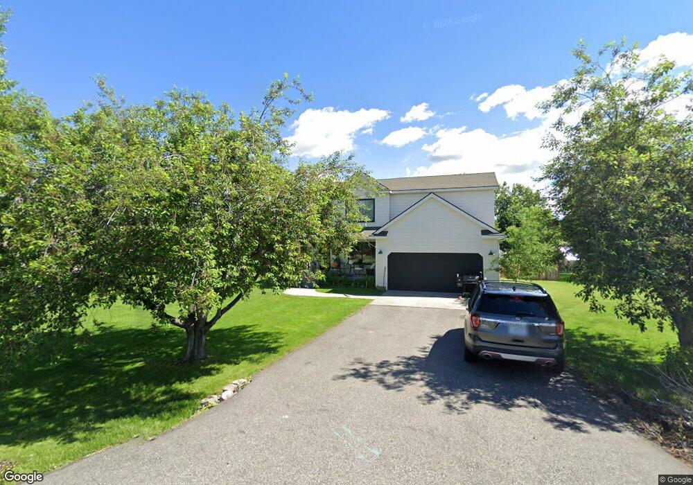
107 Wrangler Dr Bozeman, MT 59718
Estimated Value: $671,000 - $753,000
3
Beds
2
Baths
1,972
Sq Ft
$367/Sq Ft
Est. Value
About This Home
This home is located at 107 Wrangler Dr, Bozeman, MT 59718 and is currently estimated at $724,257, approximately $367 per square foot. 107 Wrangler Dr is a home located in Gallatin County with nearby schools including Saddle Peak Elementary School and Belgrade High School.
Ownership History
Date
Name
Owned For
Owner Type
Purchase Details
Closed on
Aug 15, 2022
Sold by
Susan Wessol Amanda
Bought by
Purl Ronald and Purl Anna-Maria
Current Estimated Value
Purchase Details
Closed on
Oct 20, 2011
Sold by
Sutton Joseph E and Sutton Lisa M
Bought by
Spaulding Justin D and Spaulding Saralyn G
Home Financials for this Owner
Home Financials are based on the most recent Mortgage that was taken out on this home.
Original Mortgage
$209,887
Interest Rate
4.25%
Mortgage Type
FHA
Create a Home Valuation Report for This Property
The Home Valuation Report is an in-depth analysis detailing your home's value as well as a comparison with similar homes in the area
Purchase History
| Date | Buyer | Sale Price | Title Company |
|---|---|---|---|
| Purl Ronald | -- | Montana Title | |
| Spaulding Justin D | -- | American Land Title Company |
Source: Public Records
Mortgage History
| Date | Status | Borrower | Loan Amount |
|---|---|---|---|
| Previous Owner | Spaulding Justin D | $209,887 |
Source: Public Records
Tax History
| Year | Tax Paid | Tax Assessment Tax Assessment Total Assessment is a certain percentage of the fair market value that is determined by local assessors to be the total taxable value of land and additions on the property. | Land | Improvement |
|---|---|---|---|---|
| 2025 | $2,852 | $713,100 | $0 | $0 |
| 2024 | $4,139 | $684,000 | $0 | $0 |
| 2023 | $4,126 | $684,000 | $0 | $0 |
| 2022 | $2,991 | $399,100 | $0 | $0 |
| 2021 | $3,168 | $399,100 | $0 | $0 |
| 2020 | $3,047 | $379,900 | $0 | $0 |
| 2019 | $3,104 | $379,900 | $0 | $0 |
| 2018 | $2,567 | $296,200 | $0 | $0 |
| 2017 | $2,500 | $296,200 | $0 | $0 |
| 2016 | $2,439 | $269,600 | $0 | $0 |
| 2015 | $2,273 | $269,600 | $0 | $0 |
| 2014 | $1,967 | $142,146 | $0 | $0 |
Source: Public Records
Map
Nearby Homes
- 370 Prospector Trail
- 339 Mountain Lion Trail
- 174 Valley Grove Dr
- 61 Buckhorn Trail
- 604 Morrison Ave Unit B
- Lot 2A Bison Trail
- 456 Bison Trail
- TBD E Cameron Bridge Rd
- 47 Poplar Dr
- 2030 and 2032 Love Ln
- Lot 10 Riparian Way
- Lot 3 Riparian Way
- 203 Alton Way
- TBD Riparian Way
- 85 Riparian Way
- 79 Dry Fly Ln
- TBD Harper Puckett
- 29 Border Ln Unit 3
- 827 Accolade Loop
- 829 Accolade Loop
- 77 Wrangler Dr
- 168 Prospector Trail
- 94 Wrangler Dr
- 177 Prospector Trail
- 234 Prospector Trail
- 51 Wrangler Dr
- 203 Prospector Trail
- 221 Prospector Trail
- 86 Wrangler Dr
- 304 Frontier Dr
- 60 Wrangler Dr
- 155 Prospector Trail
- 243 Prospector Trail
- 284 Frontier Dr
- 31 Wrangler Dr
- 38 Wrangler Dr
- 124 Prospector Trail
- 276 Prospector Trail
- 137 Prospector Trail
- 267 Prospector Trail
Your Personal Tour Guide
Ask me questions while you tour the home.