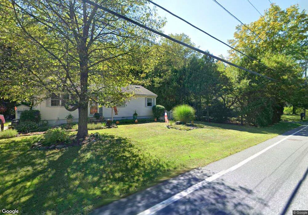
1070 Burts Pit Rd Florence, MA 01062
Florence NeighborhoodEstimated Value: $345,835 - $405,000
3
Beds
1
Bath
960
Sq Ft
$385/Sq Ft
Est. Value
About This Home
This home is located at 1070 Burts Pit Rd, Florence, MA 01062 and is currently estimated at $369,209, approximately $384 per square foot. 1070 Burts Pit Rd is a home located in Hampshire County with nearby schools including Northampton High School, Hilltown Cooperative Charter Public School, and The Montessori School of Northampton.
Ownership History
Date
Name
Owned For
Owner Type
Purchase Details
Closed on
Jul 10, 1990
Sold by
Moore Bruce P
Bought by
Bushey Michael J
Current Estimated Value
Home Financials for this Owner
Home Financials are based on the most recent Mortgage that was taken out on this home.
Original Mortgage
$69,000
Interest Rate
10.23%
Mortgage Type
Purchase Money Mortgage
Create a Home Valuation Report for This Property
The Home Valuation Report is an in-depth analysis detailing your home's value as well as a comparison with similar homes in the area
Home Values in the Area
Average Home Value in this Area
Purchase History
| Date | Buyer | Sale Price | Title Company |
|---|---|---|---|
| Bushey Michael J | $89,000 | -- |
Source: Public Records
Mortgage History
| Date | Status | Borrower | Loan Amount |
|---|---|---|---|
| Closed | Bushey Michael J | $73,000 | |
| Closed | Bushey Michael J | $69,000 |
Source: Public Records
Tax History
| Year | Tax Paid | Tax Assessment Tax Assessment Total Assessment is a certain percentage of the fair market value that is determined by local assessors to be the total taxable value of land and additions on the property. | Land | Improvement |
|---|---|---|---|---|
| 2025 | $4,034 | $289,600 | $121,800 | $167,800 |
| 2024 | $4,031 | $265,400 | $121,800 | $143,600 |
| 2023 | $3,420 | $215,900 | $110,700 | $105,200 |
| 2022 | $3,734 | $208,700 | $110,700 | $98,000 |
| 2021 | $3,248 | $187,000 | $105,700 | $81,300 |
| 2020 | $3,142 | $187,000 | $105,700 | $81,300 |
| 2019 | $2,929 | $168,600 | $90,700 | $77,900 |
| 2018 | $2,864 | $168,100 | $90,700 | $77,400 |
| 2017 | $2,806 | $168,100 | $90,700 | $77,400 |
| 2016 | $2,716 | $168,100 | $90,700 | $77,400 |
| 2015 | $2,695 | $170,600 | $90,700 | $79,900 |
| 2014 | $2,626 | $170,600 | $90,700 | $79,900 |
Source: Public Records
Map
Nearby Homes
- 723 Lot B Ryan Rd
- 815 Burts Pit Rd
- 296 Ryan Rd Unit A
- 296 Ryan Rd
- 296 Ryan Rd Unit B
- 697 Florence Rd
- 635 Florence Rd
- 832 Westhampton Rd
- 0 W Farms Rd
- 42 Clark St
- 892 Westhampton Rd
- 967 Florence Rd
- 751 Park Hill Rd
- 404 Sylvester Rd
- 296 Old Wilson Rd
- 98 Park Hill Rd
- 20-11 Sylvester Rd
- 37 Landy Ave
- 67 Park St Unit A
- 76 Maple St
- 1078 Burts Pit Rd
- 1078 Burts Pit Rd
- 1067 Burts Pit Rd
- 1067 Burts Pit Rd
- 1079 Burts Pit Rd
- 1086 Burts Pit Rd
- 1053 Burts Pit Rd
- 27 Winchester Terrace
- 19 Winchester Terrace
- 35 Winchester Terrace
- 11 Winchester Terrace
- 1091 Burts Pit Rd
- 1094 Burts Pit Rd
- 1041 Burts Pit Rd
- 28 Winchester Terrace
- 20 Winchester Terrace
- 9 Redford Dr
- 1104 Burts Pit Rd
- 12 Winchester Terrace
- 17 Redford Dr
Your Personal Tour Guide
Ask me questions while you tour the home.