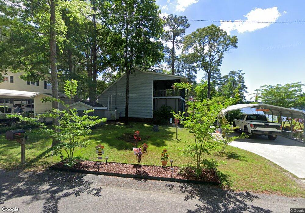
1070 Coffey St Manning, SC 29102
Estimated Value: $269,756 - $274,000
Studio
--
Bath
1,462
Sq Ft
$186/Sq Ft
Est. Value
About This Home
This home is located at 1070 Coffey St, Manning, SC 29102 and is currently estimated at $272,189, approximately $186 per square foot. 1070 Coffey St is a home.
Ownership History
Date
Name
Owned For
Owner Type
Purchase Details
Closed on
Dec 9, 2021
Sold by
Timmons Betty Mitchell
Bought by
Mitchell Billy E
Current Estimated Value
Purchase Details
Closed on
Aug 8, 2018
Sold by
Geddings David E and Geddings Margaret S
Bought by
Timms Brian and Timms Shelly L
Home Financials for this Owner
Home Financials are based on the most recent Mortgage that was taken out on this home.
Original Mortgage
$176,739
Interest Rate
5.25%
Mortgage Type
FHA
Create a Home Valuation Report for This Property
The Home Valuation Report is an in-depth analysis detailing your home's value as well as a comparison with similar homes in the area
Home Values in the Area
Average Home Value in this Area
Purchase History
| Date | Buyer | Sale Price | Title Company |
|---|---|---|---|
| Mitchell Billy E | -- | None Available | |
| Timms Brian | $126,486 | -- |
Source: Public Records
Mortgage History
| Date | Status | Borrower | Loan Amount |
|---|---|---|---|
| Previous Owner | Timms Brian | $176,739 |
Source: Public Records
Tax History
| Year | Tax Paid | Tax Assessment Tax Assessment Total Assessment is a certain percentage of the fair market value that is determined by local assessors to be the total taxable value of land and additions on the property. | Land | Improvement |
|---|---|---|---|---|
| 2025 | $1,303 | $6,328 | $3,000 | $3,328 |
| 2024 | $1,303 | $6,328 | $3,000 | $3,328 |
| 2023 | $1,277 | $6,328 | $3,000 | $3,328 |
| 2022 | $1,262 | $6,328 | $3,000 | $3,328 |
| 2020 | $1,204 | $6,308 | $3,000 | $3,308 |
| 2019 | $1,115 | $6,308 | $3,000 | $3,308 |
| 2018 | $820 | $4,944 | $0 | $0 |
| 2017 | $820 | $4,944 | $0 | $0 |
| 2016 | $794 | $4,944 | $0 | $0 |
| 2015 | $2,317 | $7,482 | $3,000 | $4,482 |
| 2014 | $2,282 | $7,482 | $3,000 | $4,482 |
| 2013 | -- | $7,482 | $3,000 | $4,482 |
Source: Public Records
Map
Nearby Homes
- 1435 Stukes Rd
- Tbd Unit Sub
- 00 Delano St
- 1303 Delano St
- 1519 Kenwood Rd
- 1016 Crawford Dr
- 1205 Davis St
- 1343 Morello Rd
- 2205 Cypress Pointe Unit B 205
- 1203 Cypress Pointe Unit A203
- 1580 Stillwater Dr
- 1527 Quail Trail
- 1702 Camp Shelor Rd
- 1083 Copperhead Rd
- 1583 Wyboo Ave
- 1229 Lemon Ave
- 1026 Carolina Way
- 1015 Carolina Way
- 1401 Charles Dr
- 10841 Hwy 260
Your Personal Tour Guide
Ask me questions while you tour the home.