1070 Flat Rock Rd Covington, GA 30014
Estimated Value: $733,000 - $963,958
4
Beds
4
Baths
5,430
Sq Ft
$161/Sq Ft
Est. Value
About This Home
This home is located at 1070 Flat Rock Rd, Covington, GA 30014 and is currently estimated at $874,319, approximately $161 per square foot. 1070 Flat Rock Rd is a home located in Newton County with nearby schools including Flint Hill Elementary School, Cousins Middle School, and Eastside High School.
Ownership History
Date
Name
Owned For
Owner Type
Purchase Details
Closed on
Oct 15, 2007
Sold by
Crowe Max S
Bought by
Snead William H and Snead Pamela L
Current Estimated Value
Home Financials for this Owner
Home Financials are based on the most recent Mortgage that was taken out on this home.
Original Mortgage
$725,000
Interest Rate
6.44%
Mortgage Type
New Conventional
Create a Home Valuation Report for This Property
The Home Valuation Report is an in-depth analysis detailing your home's value as well as a comparison with similar homes in the area
Home Values in the Area
Average Home Value in this Area
Purchase History
| Date | Buyer | Sale Price | Title Company |
|---|---|---|---|
| Snead William H | $610,000 | -- |
Source: Public Records
Mortgage History
| Date | Status | Borrower | Loan Amount |
|---|---|---|---|
| Closed | Snead William H | $725,000 |
Source: Public Records
Tax History
| Year | Tax Paid | Tax Assessment Tax Assessment Total Assessment is a certain percentage of the fair market value that is determined by local assessors to be the total taxable value of land and additions on the property. | Land | Improvement |
|---|---|---|---|---|
| 2025 | $8,268 | $380,560 | $67,200 | $313,360 |
| 2024 | $7,815 | $350,080 | $67,200 | $282,880 |
| 2023 | $7,799 | $316,440 | $67,200 | $249,240 |
| 2022 | $6,452 | $266,800 | $38,880 | $227,920 |
| 2021 | $6,547 | $245,000 | $38,880 | $206,120 |
| 2020 | $6,613 | $226,040 | $46,800 | $179,240 |
| 2019 | $8,089 | $266,360 | $46,800 | $219,560 |
| 2018 | $7,551 | $254,800 | $46,800 | $208,000 |
| 2017 | $6,442 | $191,520 | $24,000 | $167,520 |
| 2016 | $4,739 | $141,920 | $24,000 | $117,920 |
| 2015 | $4,892 | $146,400 | $24,000 | $122,400 |
| 2014 | $4,644 | $139,560 | $0 | $0 |
Source: Public Records
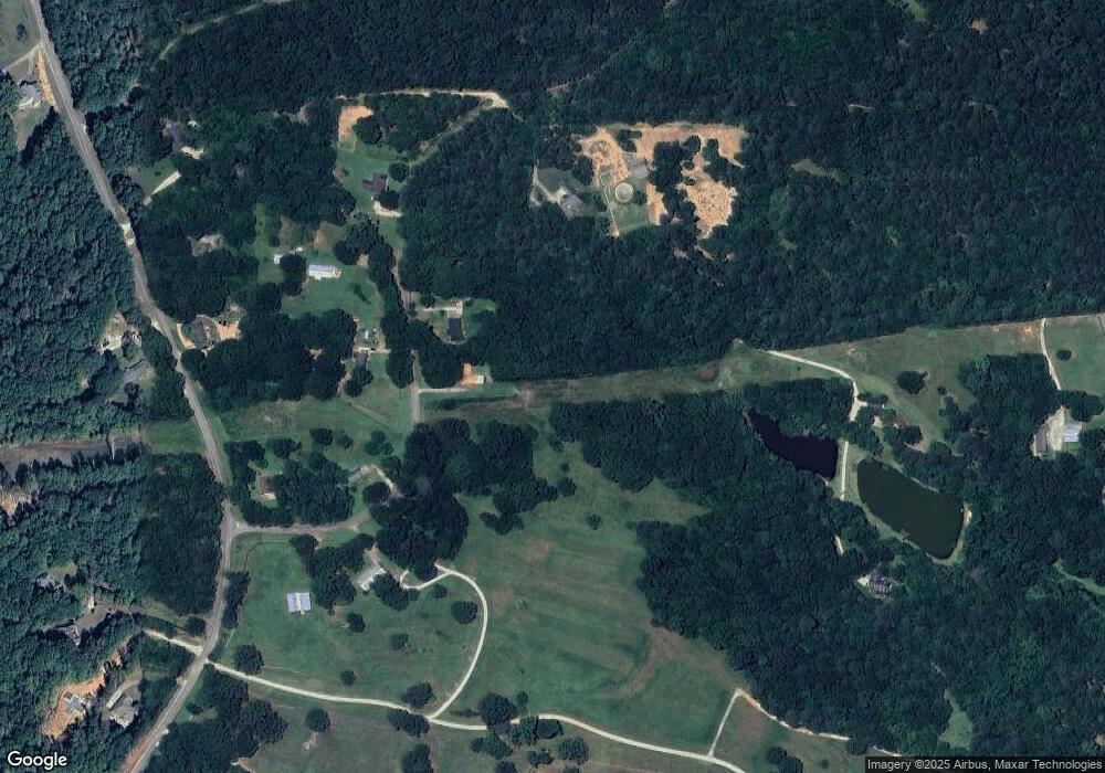
Map
Nearby Homes
- 90 Cornish Trace Dr
- 1041 Flat Rock Rd
- 12782 Alcovy Rd
- 35 Hawthorn Ln
- 95 Hawthorn Ln
- 1585 Flat Rock Rd
- 78 Lake Varner Dr
- 827 Lake Varner Dr
- 622 Lake Varner Dr
- 140 Hawthorn Ln
- 34 Stowe Rd
- 30 Wesleyan Way
- 105 Rivermist Dr
- 401 Saint Regis Dr
- 407 Saint Regis Dr
- 619 Shepherds Crossing
- 4023 Jersey Covington Rd
- 4009 Jersey Covington Rd
- 4013 Jersey Covington Rd
- 615 Shepherds Crossing
- 1058 Flat Rock Rd
- 1045 Flat Rock Rd
- 145 Cornish Trace Dr Unit 14
- 145 Cornish Trace Dr
- 1320 Cornish Mountain Rd
- 280 Walnut Ln
- 135 Cornish Trace Dr
- 150 Cornish Trace Dr
- 1330 Cornish Mountain Rd
- 125 Cornish Trace Dr
- 115 Cornish Trace Dr
- 1310 Cornish Mountain Rd
- 155 Cornish Trace Dr
- 105 Cornish Trace Dr
- 100 S Waters Edge Dr
- 100 S Waters Edge Dr Unit 12
- 130 Cornish Trace Dr
- 110 S Waters Edge Dr
- 95 Cornish Trace Dr
- 283 Walnut Ln
Your Personal Tour Guide
Ask me questions while you tour the home.