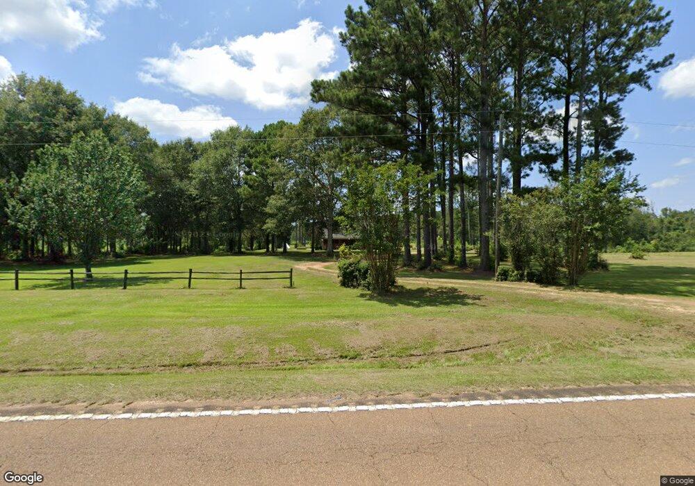
1070 Highway 27 N Tylertown, MS 39667
Estimated Value: $224,000 - $355,000
4
Beds
3
Baths
1,837
Sq Ft
$155/Sq Ft
Est. Value
About This Home
This home is located at 1070 Highway 27 N, Tylertown, MS 39667 and is currently estimated at $284,097, approximately $154 per square foot. 1070 Highway 27 N is a home located in Walthall County with nearby schools including Salem Attendance Center.
Ownership History
Date
Name
Owned For
Owner Type
Purchase Details
Closed on
Jun 24, 2016
Sold by
Reid Scott and Reid Rachel
Bought by
Sanamo Dennis J
Current Estimated Value
Home Financials for this Owner
Home Financials are based on the most recent Mortgage that was taken out on this home.
Original Mortgage
$184,300
Outstanding Balance
$147,016
Interest Rate
3.64%
Mortgage Type
New Conventional
Estimated Equity
$137,081
Create a Home Valuation Report for This Property
The Home Valuation Report is an in-depth analysis detailing your home's value as well as a comparison with similar homes in the area
Home Values in the Area
Average Home Value in this Area
Purchase History
| Date | Buyer | Sale Price | Title Company |
|---|---|---|---|
| Sanamo Dennis J | -- | None Available |
Source: Public Records
Mortgage History
| Date | Status | Borrower | Loan Amount |
|---|---|---|---|
| Open | Sanamo Dennis J | $184,300 |
Source: Public Records
Tax History Compared to Growth
Tax History
| Year | Tax Paid | Tax Assessment Tax Assessment Total Assessment is a certain percentage of the fair market value that is determined by local assessors to be the total taxable value of land and additions on the property. | Land | Improvement |
|---|---|---|---|---|
| 2024 | $1,714 | $15,347 | $0 | $0 |
| 2023 | $1,714 | $15,594 | $0 | $0 |
| 2022 | $1,692 | $15,597 | $0 | $0 |
| 2021 | $1,538 | $14,707 | $0 | $0 |
| 2020 | $1,531 | $14,709 | $0 | $0 |
| 2019 | $1,458 | $14,125 | $0 | $0 |
| 2018 | $2,655 | $21,329 | $0 | $0 |
| 2017 | $2,555 | $20,619 | $0 | $0 |
| 2016 | $1,398 | $13,931 | $0 | $0 |
| 2015 | -- | $14,065 | $0 | $0 |
| 2014 | -- | $15,328 | $0 | $0 |
| 2013 | -- | $13,406 | $0 | $0 |
Source: Public Records
Map
Nearby Homes
- 222 Log Cabin Rd
- 97 Jack Duncan Rd
- 0 Mannings Crossing Rd Unit LotWP001 22974292
- 3 Fulgham Rd
- 825 Mississippi 585
- 0 James Ratcliff Rd
- 83 Jayess Rd
- 0 Darbun China Grove Rd Unit 4132615
- TBD Z C Rushing Rd
- 7 Willie Roberts Rd
- 161 Old Holmesville Rd
- 869 Old Holmesville Rd
- 1139 Hwy 583 N
- 105 Henry Smith Rd
- 0 Ozie Ratliff Rd
- 22 Campbell Rd
- 37 Adron Boyd Rd
- 24 Gartman Rd
- 5 Union Church Rd
- 234 Fleet Holmes Rd
- 1070 Mississippi 27
- 1084 Hwy 27n
- 44.5 acres Hwy 27 and Log Cabin Rd
- 1084 Mississippi 27
- 40 Buck Bridge Rd
- 1014 Highway 27 N
- 996 Highway 27 N
- 989 Highway 27 N
- 83 Buck Bridge Rd
- 88 Buck Bridge Rd
- 32 Beard Boyd Rd
- ... E Salem Rd
- xxx E Salem Rd
- 969 Highway 27 N
- 0 Beard Boyd Rd
- 26 Ronnie Boyd Ln
- 132 E Salem Rd