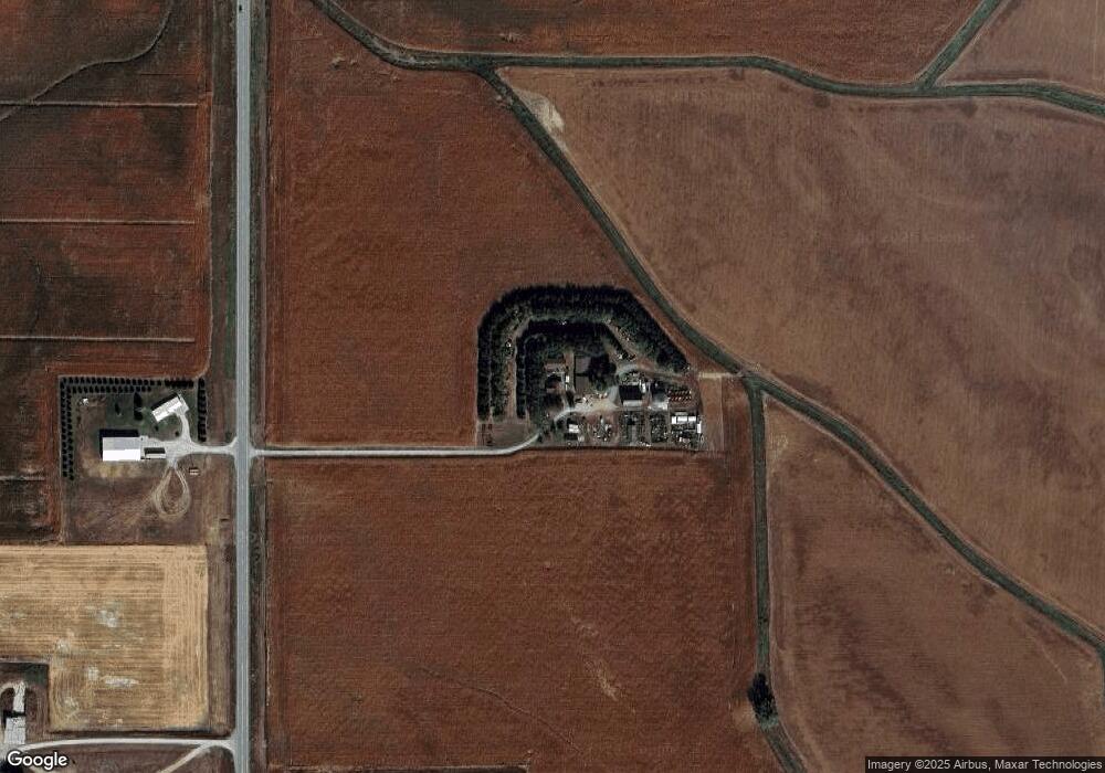
1070 Highway 9 West Point, NE 68788
Estimated Value: $160,000 - $253,000
3
Beds
2
Baths
1,883
Sq Ft
$111/Sq Ft
Est. Value
About This Home
This home is located at 1070 Highway 9, West Point, NE 68788 and is currently estimated at $209,135, approximately $111 per square foot. 1070 Highway 9 is a home located in Cuming County with nearby schools including West Point-Beemer Junior/Senior High School, Guardian Angels Elementary School, and St. Paul Lutheran School.
Create a Home Valuation Report for This Property
The Home Valuation Report is an in-depth analysis detailing your home's value as well as a comparison with similar homes in the area
Home Values in the Area
Average Home Value in this Area
Tax History Compared to Growth
Tax History
| Year | Tax Paid | Tax Assessment Tax Assessment Total Assessment is a certain percentage of the fair market value that is determined by local assessors to be the total taxable value of land and additions on the property. | Land | Improvement |
|---|---|---|---|---|
| 2025 | $1,200 | $150,565 | $19,185 | $131,380 |
| 2024 | $1,200 | $133,800 | $19,185 | $114,615 |
| 2023 | $1,002 | $86,870 | $17,070 | $69,800 |
| 2022 | $955 | $75,475 | $13,310 | $62,165 |
| 2021 | $876 | $65,740 | $11,075 | $54,665 |
| 2020 | $835 | $62,520 | $11,075 | $51,445 |
| 2019 | $819 | $59,970 | $11,070 | $48,900 |
| 2018 | $656 | $47,810 | $11,070 | $36,740 |
| 2017 | $671 | $47,810 | $11,070 | $36,740 |
| 2016 | $667 | $46,170 | $11,070 | $35,100 |
| 2015 | $710 | $46,170 | $11,070 | $35,100 |
| 2014 | $520 | $42,605 | $11,435 | $31,170 |
| 2013 | $520 | $33,820 | $11,435 | $22,385 |
Source: Public Records
Map
Nearby Homes