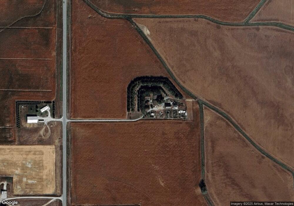
1070 Highway 9 West Point, NE 68788
Estimated Value: $118,000 - $146,000
2
Beds
2
Baths
792
Sq Ft
$168/Sq Ft
Est. Value
About This Home
This home is located at 1070 Highway 9, West Point, NE 68788 and is currently estimated at $133,431, approximately $168 per square foot. 1070 Highway 9 is a home located in Cuming County with nearby schools including West Point-Beemer Junior/Senior High School, Guardian Angels Elementary School, and St. Paul Lutheran School.
Create a Home Valuation Report for This Property
The Home Valuation Report is an in-depth analysis detailing your home's value as well as a comparison with similar homes in the area
Home Values in the Area
Average Home Value in this Area
Tax History Compared to Growth
Tax History
| Year | Tax Paid | Tax Assessment Tax Assessment Total Assessment is a certain percentage of the fair market value that is determined by local assessors to be the total taxable value of land and additions on the property. | Land | Improvement |
|---|---|---|---|---|
| 2025 | $818 | $102,880 | $17,050 | $85,830 |
| 2024 | $818 | $95,535 | $17,050 | $78,485 |
| 2023 | $999 | $86,530 | $15,065 | $71,465 |
| 2022 | $963 | $76,130 | $11,895 | $64,235 |
| 2021 | $886 | $66,510 | $9,915 | $56,595 |
| 2020 | $844 | $63,180 | $9,915 | $53,265 |
| 2019 | $824 | $60,305 | $9,915 | $50,390 |
| 2018 | $770 | $56,075 | $9,915 | $46,160 |
| 2017 | $787 | $56,075 | $9,915 | $46,160 |
| 2016 | $783 | $54,225 | $9,915 | $44,310 |
| 2015 | $833 | $54,225 | $9,915 | $44,310 |
| 2014 | $969 | $50,305 | $9,915 | $40,390 |
| 2013 | $969 | $50,305 | $9,915 | $40,390 |
Source: Public Records
Map
Nearby Homes