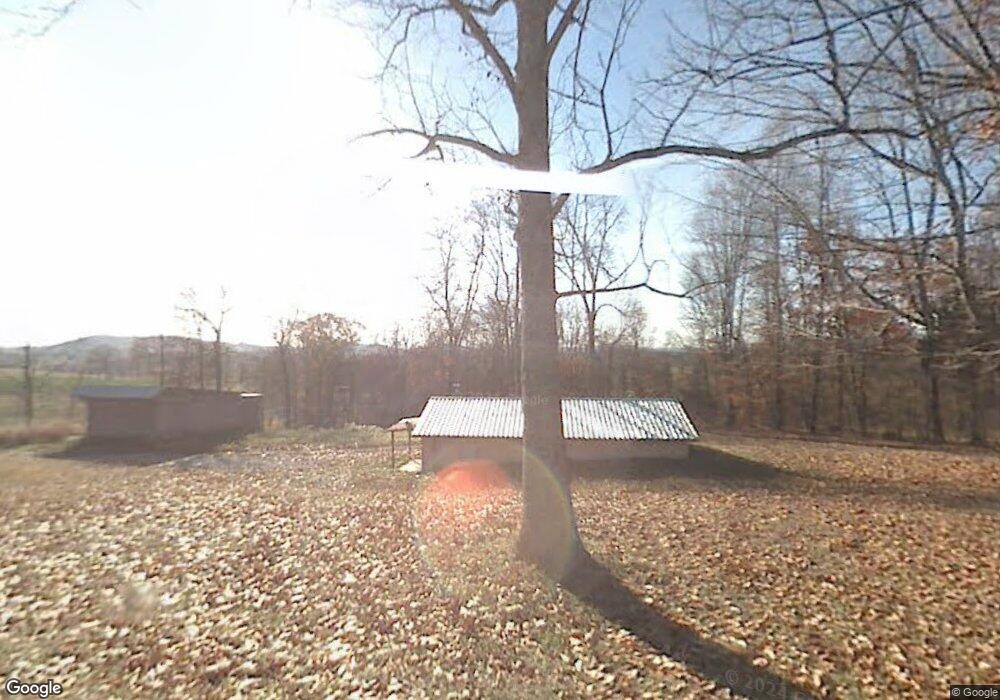
1070 Manley Rd Rutledge, TN 37861
Estimated Value: $97,774 - $239,000
Studio
--
Bath
960
Sq Ft
$167/Sq Ft
Est. Value
About This Home
This home is located at 1070 Manley Rd, Rutledge, TN 37861 and is currently estimated at $159,944, approximately $166 per square foot. 1070 Manley Rd is a home with nearby schools including Rutledge Primary School, Rutledge Elementary School, and Rutledge Middle School.
Ownership History
Date
Name
Owned For
Owner Type
Purchase Details
Closed on
Aug 7, 2015
Sold by
Stansberry Travis
Bought by
Ogan Paul Andy
Current Estimated Value
Home Financials for this Owner
Home Financials are based on the most recent Mortgage that was taken out on this home.
Original Mortgage
$7,000
Interest Rate
4.09%
Mortgage Type
New Conventional
Purchase Details
Closed on
Jun 1, 1987
Bought by
Stansberry Keith
Purchase Details
Closed on
May 2, 1981
Bought by
Sinnamon Kenneth and Sinnamon Norma
Purchase Details
Closed on
Jan 1, 1981
Create a Home Valuation Report for This Property
The Home Valuation Report is an in-depth analysis detailing your home's value as well as a comparison with similar homes in the area
Purchase History
| Date | Buyer | Sale Price | Title Company |
|---|---|---|---|
| Ogan Paul Andy | $25,738 | -- | |
| Stansberry Keith | $17,500 | -- | |
| Sinnamon Kenneth | -- | -- | |
| -- | $1,200 | -- |
Source: Public Records
Mortgage History
| Date | Status | Borrower | Loan Amount |
|---|---|---|---|
| Closed | Ogan Paul Andy | $7,000 |
Source: Public Records
Tax History Compared to Growth
Tax History
| Year | Tax Paid | Tax Assessment Tax Assessment Total Assessment is a certain percentage of the fair market value that is determined by local assessors to be the total taxable value of land and additions on the property. | Land | Improvement |
|---|---|---|---|---|
| 2025 | $336 | $14,300 | $0 | $0 |
| 2024 | $336 | $14,300 | $3,375 | $10,925 |
| 2023 | $336 | $14,300 | $3,375 | $10,925 |
| 2022 | $328 | $14,300 | $3,375 | $10,925 |
| 2021 | $328 | $14,300 | $3,375 | $10,925 |
| 2020 | $367 | $14,300 | $3,375 | $10,925 |
| 2019 | $367 | $13,100 | $3,375 | $9,725 |
| 2018 | $317 | $13,100 | $3,375 | $9,725 |
| 2017 | $317 | $13,100 | $3,375 | $9,725 |
| 2016 | $317 | $13,100 | $3,375 | $9,725 |
| 2015 | $313 | $13,100 | $3,375 | $9,725 |
| 2014 | $313 | $12,502 | $0 | $0 |
Source: Public Records
Map
Nearby Homes
- 0 Shumate Rd Unit 1309239
- 139 Everett Bird Ln
- 1844 Jackson Rd
- 621 Carrol Greenlee Rd
- 132 Cedarock Ln
- 20 Acres Tbd Dunville Gap Rd
- 172 W Hills Rd
- 979 Highway 92
- 979 Tennessee 92
- 0 Poor Valley Unit 1287189
- Lot 64 Shiloh Springs Rd
- Lot 77 Shiloh Springs Rd
- Lot 11 Pocahontas Ln
- Lot 7 Shiloh Springs Rd
- 131 Southside Ave
- 0 Silent Ln Unit 1299563
- 139 Buffalo Springs Rd
- 1612 Howell River Rd
- 1655 Lester Whitt Rd
- 0 Poor Valley Rd Unit 1220825
- 1105 Manley Rd
- 1023 Manley Rd
- 1201 Manley Rd
- 770 Manley Rd
- 895 Manley Rd
- 0 County Farm Ln Unit 781786
- 0 County Farm Ln Unit 819712
- 0 Country Farm Ln
- 1332 Manley Rd
- 0 Manley Rd
- 510 Manley Rd
- 1414 Manley Rd
- 1376 Shumate Rd
- 661 Bailey Rd
- 526 Bailey Rd
- 386 Manley Rd
- 1273 Dunville Gap Rd
- 1321 Dunville Gap Rd
- 0 Bailey Rd Unit 1019532
- 0 Bailey Rd Unit 1011842