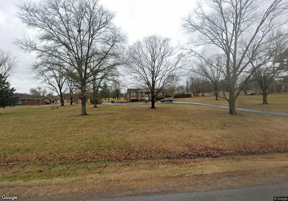
1070 Martin Ln Gallatin, TN 37066
Estimated Value: $491,794 - $646,000
--
Bed
3
Baths
2,349
Sq Ft
$250/Sq Ft
Est. Value
About This Home
This home is located at 1070 Martin Ln, Gallatin, TN 37066 and is currently estimated at $586,199, approximately $249 per square foot. 1070 Martin Ln is a home located in Sumner County with nearby schools including Benny C. Bills Elementary School, Joe Shafer Middle School, and Gallatin Senior High School.
Ownership History
Date
Name
Owned For
Owner Type
Purchase Details
Closed on
Dec 8, 2014
Sold by
Autumn Partners Llc
Bought by
Stokes Michael T
Current Estimated Value
Purchase Details
Closed on
Jun 15, 2000
Sold by
Cook Frank E and Cook Jean
Bought by
Cook Steven S and Cook Angie
Home Financials for this Owner
Home Financials are based on the most recent Mortgage that was taken out on this home.
Original Mortgage
$74,000
Interest Rate
8.27%
Create a Home Valuation Report for This Property
The Home Valuation Report is an in-depth analysis detailing your home's value as well as a comparison with similar homes in the area
Home Values in the Area
Average Home Value in this Area
Purchase History
| Date | Buyer | Sale Price | Title Company |
|---|---|---|---|
| Stokes Michael T | -- | None Available | |
| Cook Steven S | $120,000 | -- |
Source: Public Records
Mortgage History
| Date | Status | Borrower | Loan Amount |
|---|---|---|---|
| Previous Owner | Cook Steven S | $74,000 |
Source: Public Records
Tax History Compared to Growth
Tax History
| Year | Tax Paid | Tax Assessment Tax Assessment Total Assessment is a certain percentage of the fair market value that is determined by local assessors to be the total taxable value of land and additions on the property. | Land | Improvement |
|---|---|---|---|---|
| 2024 | $1,529 | $107,575 | $36,825 | $70,750 |
| 2023 | $1,881 | $61,650 | $22,725 | $38,925 |
| 2022 | $1,888 | $61,650 | $22,725 | $38,925 |
| 2021 | $1,888 | $61,650 | $22,725 | $38,925 |
| 2020 | $1,888 | $61,650 | $22,725 | $38,925 |
| 2019 | $1,888 | $0 | $0 | $0 |
| 2018 | $1,522 | $0 | $0 | $0 |
| 2017 | $1,522 | $0 | $0 | $0 |
| 2016 | $1,090 | $0 | $0 | $0 |
| 2015 | $1,522 | $0 | $0 | $0 |
| 2014 | $1,765 | $0 | $0 | $0 |
Source: Public Records
Map
Nearby Homes
- 1000 Pruitt Ln
- 110 Giles Ln
- 1017 Cabriolet Ct
- 147 Grandstand Blvd
- 1067 Robert Lee Dr
- 1029 Robert Lee Dr
- 732 Deshea Creek Rd
- 728 Deshea Creek Rd
- 724 Deshea Creek Rd
- 0 Branham Mill Rd Unit RTC2887469
- 1009 Cherokee Cove
- 1030 Tiane Trail
- 1032 Tiane Trail
- 1004 Tiane Trail
- 1006 Tiane Trail
- 1008 Tiane Trail
- 1023 Tiane Trail
- 1027 Tiane Trail
- 1025 Tiane Trail
- 1029 Tiane Trail
- 1066 E Martin Ln
- 1074 E Martin Ln
- 1060 Martin Ln
- 1401 Gibbs Ln
- 1450 Gibbs Ln
- 1351 Gibbs Ln
- 1005 Pruitt Ln
- 1012 Pruitt Ln
- 1026 Pruitt Ln
- 1052 Martin Ln
- 1017 Falcon Crest
- 1030 Pruitt Ln
- 1013 Falcon Crest
- 1301 Gibbs Ln
- 1014 Falcon Crest
- 1044 Pruitt Ln
- 1052 Pruitt Ln
- 1040 Martin Ln
- 1009 Falcon Crest
- 1010 Falcon Crest