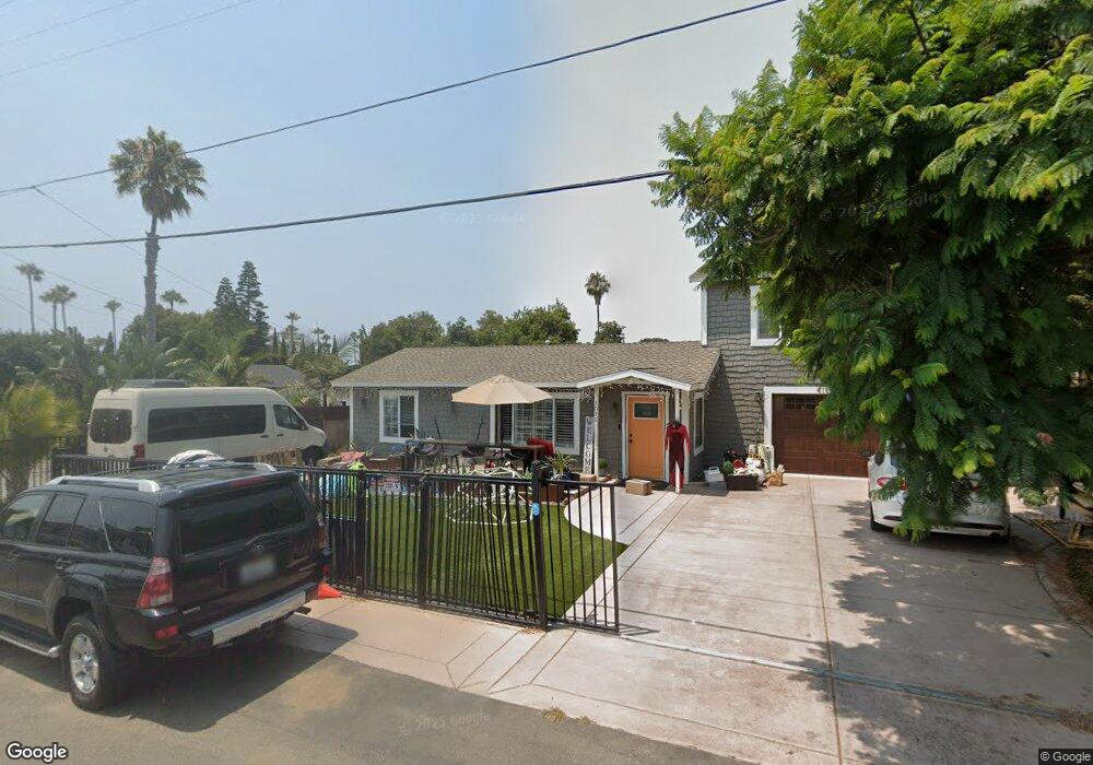
1070 Palm Ave Carlsbad, CA 92008
Olde Carlsbad NeighborhoodEstimated Value: $1,068,000 - $1,276,737
2
Beds
1
Bath
770
Sq Ft
$1,557/Sq Ft
Est. Value
About This Home
This home is located at 1070 Palm Ave, Carlsbad, CA 92008 and is currently estimated at $1,198,934, approximately $1,557 per square foot. 1070 Palm Ave is a home located in San Diego County with nearby schools including Magnolia Elementary, Carlsbad High School, and Sage Creek High.
Ownership History
Date
Name
Owned For
Owner Type
Purchase Details
Closed on
Mar 3, 2022
Sold by
Sershon Gary L
Bought by
Gary L And Dana L Sershon Trust
Current Estimated Value
Purchase Details
Closed on
Mar 24, 1998
Sold by
Bell Jean G
Bought by
Sershon Gary L and Sershon Dana L
Home Financials for this Owner
Home Financials are based on the most recent Mortgage that was taken out on this home.
Original Mortgage
$85,000
Interest Rate
7.18%
Create a Home Valuation Report for This Property
The Home Valuation Report is an in-depth analysis detailing your home's value as well as a comparison with similar homes in the area
Home Values in the Area
Average Home Value in this Area
Purchase History
We collect this data history from publicly available records. To have your information removed, we recommend requesting removal directly through your county’s website.
| Date | Buyer | Sale Price | Title Company |
|---|---|---|---|
| Gary L And Dana L Sershon Trust | -- | Frazee Lisa M | |
| Sershon Gary L | $170,000 | First American Title |
Source: Public Records
Mortgage History
We collect this data history from publicly available records. To have your information removed, we recommend requesting removal directly through your county’s website.
| Date | Status | Borrower | Loan Amount |
|---|---|---|---|
| Previous Owner | Sershon Gary L | $85,000 |
Source: Public Records
Tax History
| Year | Tax Paid | Tax Assessment Tax Assessment Total Assessment is a certain percentage of the fair market value that is determined by local assessors to be the total taxable value of land and additions on the property. | Land | Improvement |
|---|---|---|---|---|
| 2025 | $3,502 | $327,198 | $163,440 | $163,758 |
| 2024 | $3,502 | $320,784 | $160,236 | $160,548 |
| 2023 | $3,484 | $314,495 | $157,095 | $157,400 |
| 2022 | $3,431 | $308,329 | $154,015 | $154,314 |
| 2021 | $3,405 | $302,285 | $150,996 | $151,289 |
| 2020 | $3,383 | $299,186 | $149,448 | $149,738 |
| 2019 | $3,323 | $293,320 | $146,518 | $146,802 |
| 2018 | $2,819 | $253,550 | $143,646 | $109,904 |
| 2017 | $2,614 | $233,874 | $140,830 | $93,044 |
| 2016 | $2,511 | $229,289 | $138,069 | $91,220 |
| 2015 | $2,501 | $225,846 | $135,996 | $89,850 |
| 2014 | $2,461 | $221,423 | $133,333 | $88,090 |
Source: Public Records
Map
Nearby Homes
- 722 30 Magnolia Magnolia Ave
- 707 Magnolia Ave
- 3880 Adams St
- 1561 Sandalwood Ln
- 3794 Highland Dr
- 3311 James Dr
- 3328 Roosevelt St
- 4332 Adams St
- 4340 Adams St
- 1665 Sandalwood Ln
- 3525 Valley St
- 3258 Tyler St
- 3097 Madison St Unit 301
- 1546 Oak Ave
- 4030 Syme Dr
- 3945 Hibiscus Cir
- 4009 Layang Cir Unit J
- 318 Juniper Ave Unit 15
- 4011 Layang Cir Unit F
- 4020 Layang Cir Unit C
Your Personal Tour Guide
Ask me questions while you tour the home.