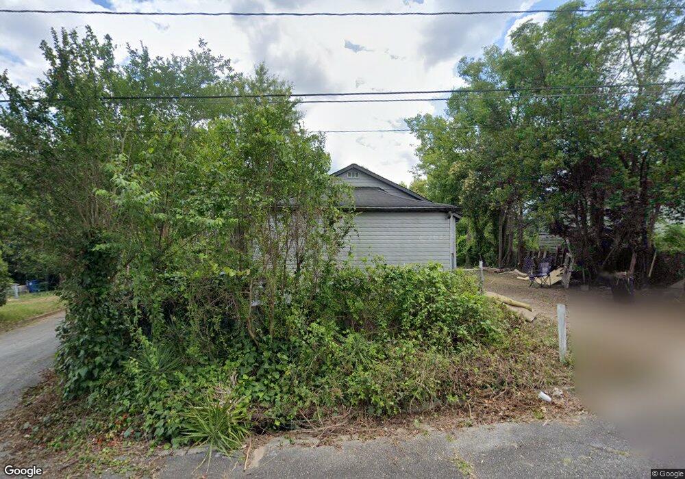
1070 Rose St Macon, GA 31206
Estimated Value: $49,949 - $100,000
1
Bed
1
Bath
1,049
Sq Ft
$65/Sq Ft
Est. Value
About This Home
This home is located at 1070 Rose St, Macon, GA 31206 and is currently estimated at $67,987, approximately $64 per square foot. 1070 Rose St is a home located in Bibb County with nearby schools including Hartley Elementary School, Southwest High School, and Cirrus Charter Academy.
Ownership History
Date
Name
Owned For
Owner Type
Purchase Details
Closed on
Apr 12, 2024
Sold by
Mitchell Cort
Bought by
K C Construction Inc
Current Estimated Value
Purchase Details
Closed on
Oct 14, 2008
Sold by
The Cit Group/Consumer Finance Inc
Bought by
Mitchel Cort
Purchase Details
Closed on
Sep 29, 2008
Sold by
The Cit Group/Consumer Finance Inc
Bought by
Lsf6 Mercury Reo Investments Llc
Purchase Details
Closed on
Apr 25, 2007
Sold by
Richardson Gloria Ann
Bought by
The Cit Group/Consumer Finance Inc
Create a Home Valuation Report for This Property
The Home Valuation Report is an in-depth analysis detailing your home's value as well as a comparison with similar homes in the area
Home Values in the Area
Average Home Value in this Area
Purchase History
| Date | Buyer | Sale Price | Title Company |
|---|---|---|---|
| K C Construction Inc | $8,000 | None Listed On Document | |
| Mitchel Cort | $2,500 | None Available | |
| Lsf6 Mercury Reo Investments Llc | $3,700 | None Available | |
| The Cit Group/Consumer Finance Inc | -- | None Available |
Source: Public Records
Tax History Compared to Growth
Tax History
| Year | Tax Paid | Tax Assessment Tax Assessment Total Assessment is a certain percentage of the fair market value that is determined by local assessors to be the total taxable value of land and additions on the property. | Land | Improvement |
|---|---|---|---|---|
| 2024 | $314 | $12,359 | $874 | $11,485 |
| 2023 | $328 | $11,065 | $624 | $10,441 |
| 2022 | $297 | $8,576 | $1,190 | $7,386 |
| 2021 | $326 | $8,576 | $1,190 | $7,386 |
| 2020 | $333 | $8,576 | $1,190 | $7,386 |
| 2019 | $336 | $8,576 | $1,190 | $7,386 |
| 2018 | $694 | $8,576 | $1,190 | $7,386 |
| 2017 | $321 | $8,576 | $1,190 | $7,386 |
| 2016 | $429 | $12,389 | $1,190 | $11,199 |
| 2015 | $607 | $12,389 | $1,190 | $11,199 |
| 2014 | $698 | $12,389 | $1,190 | $11,199 |
Source: Public Records
Map
Nearby Homes
- 1062 Rose St
- 2420 Adams Ave
- 1162 Ruben Dr Unit m
- 1162 Ruben Dr
- 3005 Margaret Dr
- 1255 Ell St
- 3064 Margaret Dr
- 2349 Mason St
- 1121 Carroll St
- 997 Ponce de Leon Cir N
- 895 Ell Ct
- 999 Ponce de Leon Cir N
- 1191 Carroll St
- 968 Quinlan Dr
- 1332 Harris St
- 946 Ponce de Leon Cir
- 3158 Brownell Ave
- 981 Perdue St
- 3141 Edlay Place
- 1355 Harris St
- 1080 Rose St
- 1054 Rose St
- 1032 Rose St
- 1065 Rose St
- 1087 Violet St
- 2681 Walnut Ave
- 2560 Walnut Ave
- 1063 Violet St
- 1018 Violet St
- 2663 Walnut Ave
- 1068 Violet St
- 2558 Pine Ave
- 1086 Violet St
- 1060 Violet St
- 2625 Pine Ave
- 2691 Walnut Ave
- 2691 Walnut Ave Unit 1 & 2
- 1077 Jessamine St Unit A
- 1077 Jessamine St
- 1077 Jessamine St