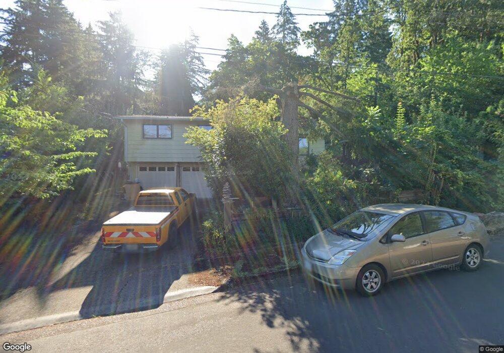
1070 Snell St Eugene, OR 97405
Southeast Eugene NeighborhoodEstimated Value: $400,000 - $452,998
3
Beds
1
Bath
1,056
Sq Ft
$407/Sq Ft
Est. Value
About This Home
This home is located at 1070 Snell St, Eugene, OR 97405 and is currently estimated at $430,000, approximately $407 per square foot. 1070 Snell St is a home located in Lane County with nearby schools including Edgewood Community Elementary School, Spencer Butte Middle School, and South Eugene High School.
Ownership History
Date
Name
Owned For
Owner Type
Purchase Details
Closed on
Jun 8, 2023
Sold by
Koehnen Kathleen
Bought by
Kathleen Koehnen Living Trust
Current Estimated Value
Purchase Details
Closed on
Apr 1, 2005
Sold by
Monsen M Douglas and Monsen Mary P
Bought by
Koehnen Kathleen
Home Financials for this Owner
Home Financials are based on the most recent Mortgage that was taken out on this home.
Original Mortgage
$129,000
Interest Rate
5.7%
Mortgage Type
Purchase Money Mortgage
Create a Home Valuation Report for This Property
The Home Valuation Report is an in-depth analysis detailing your home's value as well as a comparison with similar homes in the area
Home Values in the Area
Average Home Value in this Area
Purchase History
| Date | Buyer | Sale Price | Title Company |
|---|---|---|---|
| Kathleen Koehnen Living Trust | -- | None Listed On Document | |
| Koehnen Kathleen | $179,000 | American Title Group |
Source: Public Records
Mortgage History
| Date | Status | Borrower | Loan Amount |
|---|---|---|---|
| Previous Owner | Koehnen Kathleen | $129,000 |
Source: Public Records
Tax History
| Year | Tax Paid | Tax Assessment Tax Assessment Total Assessment is a certain percentage of the fair market value that is determined by local assessors to be the total taxable value of land and additions on the property. | Land | Improvement |
|---|---|---|---|---|
| 2025 | $3,671 | $188,430 | -- | -- |
| 2024 | $3,626 | $182,942 | -- | -- |
| 2023 | $3,626 | $177,614 | $0 | $0 |
| 2022 | $3,397 | $172,441 | $0 | $0 |
| 2021 | $3,190 | $167,419 | $0 | $0 |
| 2020 | $3,202 | $162,543 | $0 | $0 |
| 2019 | $3,092 | $157,809 | $0 | $0 |
| 2018 | $2,911 | $148,750 | $0 | $0 |
| 2017 | $2,780 | $148,750 | $0 | $0 |
| 2016 | $2,711 | $144,417 | $0 | $0 |
| 2015 | $2,633 | $140,211 | $0 | $0 |
Source: Public Records
Map
Nearby Homes
- 4733 E Amazon Dr
- 892 Sprague St
- 4680 W Hillside Dr
- 4429 Fox Hollow Rd Unit 3
- 4835 Elva Ln
- 1755 E 43rd Ave
- 1862 E 43rd Ave
- 4364 Fox Hollow Rd
- 0 Wendell Ln Unit 200453475
- 0 Wendell Ln Unit 279865930
- 0 Wendell Ln Unit 1
- 1865 E 43rd Ave
- 910 E 43rd Ave
- 4320 Fox Hollow Rd
- 4425 Hilyard St
- 0 Why Worry Ln
- 2015 E 43rd Ave
- 0 N Shasta Loop Unit 384285834
- 4845 Brookwood St
- 4295 Ferry St
- 1080 Snell St
- 1020 Snell St
- 4580 Old Dillard Rd
- 1050 Snell St
- 1090 Snell St
- 4715 Center Way
- 4590 Old Dillard Rd
- 4555 Old Dillard Rd
- 1040 Snell St
- 921 Snell St
- 941 Snell St
- 4725 Center Way
- 4515 Old Dillard Rd
- 4477 Dillard Rd
- 4735 Center Way
- 4610 Old Dillard Rd
- 911 Snell St
- 971 Snell St
- 4620 Old Dillard Rd
- 4745 Center Way
Your Personal Tour Guide
Ask me questions while you tour the home.