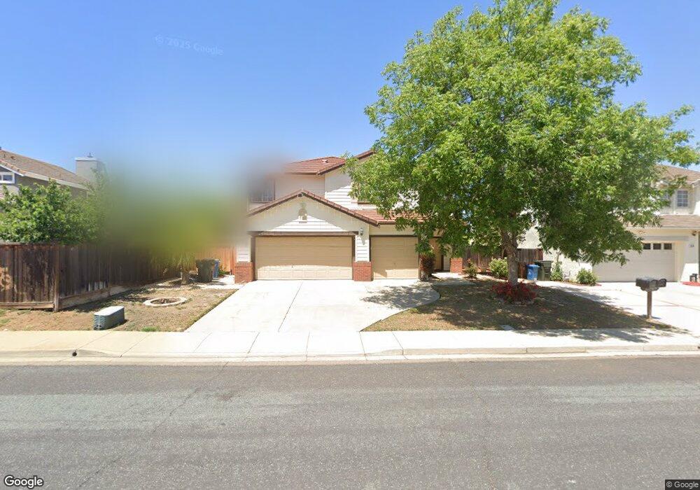
1070 Stonecrest Dr Antioch, CA 94531
Lone Tree Valley NeighborhoodEstimated Value: $660,000 - $687,537
5
Beds
3
Baths
2,507
Sq Ft
$267/Sq Ft
Est. Value
About This Home
This home is located at 1070 Stonecrest Dr, Antioch, CA 94531 and is currently estimated at $670,134, approximately $267 per square foot. 1070 Stonecrest Dr is a home located in Contra Costa County with nearby schools including Lone Tree Elementary School, Dallas Ranch Middle School, and Deer Valley High School.
Ownership History
Date
Name
Owned For
Owner Type
Purchase Details
Closed on
Mar 13, 1997
Sold by
Kaufman & Broad Of Northern Ca Inc
Bought by
Lucas Ronald and Lucas Faye
Current Estimated Value
Home Financials for this Owner
Home Financials are based on the most recent Mortgage that was taken out on this home.
Original Mortgage
$167,000
Outstanding Balance
$20,054
Interest Rate
7.63%
Mortgage Type
Purchase Money Mortgage
Estimated Equity
$650,080
Create a Home Valuation Report for This Property
The Home Valuation Report is an in-depth analysis detailing your home's value as well as a comparison with similar homes in the area
Home Values in the Area
Average Home Value in this Area
Purchase History
| Date | Buyer | Sale Price | Title Company |
|---|---|---|---|
| Lucas Ronald | $177,000 | First American Title Guarant |
Source: Public Records
Mortgage History
| Date | Status | Borrower | Loan Amount |
|---|---|---|---|
| Open | Lucas Ronald | $167,000 |
Source: Public Records
Tax History
| Year | Tax Paid | Tax Assessment Tax Assessment Total Assessment is a certain percentage of the fair market value that is determined by local assessors to be the total taxable value of land and additions on the property. | Land | Improvement |
|---|---|---|---|---|
| 2025 | $3,841 | $308,933 | $56,986 | $251,947 |
| 2024 | $3,605 | $302,876 | $55,869 | $247,007 |
| 2023 | $3,605 | $296,938 | $54,774 | $242,164 |
| 2022 | $3,552 | $291,116 | $53,700 | $237,416 |
| 2021 | $3,444 | $285,409 | $52,648 | $232,761 |
| 2019 | $3,357 | $276,946 | $51,088 | $225,858 |
| 2018 | $3,231 | $271,517 | $50,087 | $221,430 |
| 2017 | $3,160 | $266,194 | $49,105 | $217,089 |
| 2016 | $3,077 | $260,976 | $48,143 | $212,833 |
| 2015 | $3,382 | $257,057 | $47,420 | $209,637 |
| 2014 | $4,088 | $252,023 | $46,492 | $205,531 |
Source: Public Records
Map
Nearby Homes
- 4937 Eastview Way
- 1157 Rockspring Way
- 5106 Watkings Way
- 4959 Star Mine Ct
- 4125 Rogers Canyon Rd
- 1246 Oak Haven Way
- 5004 Star Mine Way
- 1821 Kern Mountain Way
- 1879 Mount Conness Way
- 5448 Southwood Way
- 5065 Carbondale Way
- 1736 Nandina Ct
- 4836 Belford Peak Way
- 1928 Badger Pass Way
- 1834 Sanger Peak Way
- 4737 Crestone Peak Ct
- 4722 Cache Peak Dr
- 2057 Crater Peak Way
- 2076 Catalpa Way
- 2096 Goldpine Way
- 1074 Stonecrest Dr
- 4941 Eastview Way
- 5049 Ranch Hollow Way
- 4933 Eastview Way
- 5045 Ranch Hollow Way
- 1067 Stonecrest Dr
- 1071 Stonecrest Dr
- 1063 Stonecrest Dr
- 4929 Eastview Way
- 1075 Stonecrest Dr
- 1059 Stonecrest Dr
- 5041 Ranch Hollow Way
- 5054 Ranch Hollow Way
- 5050 Ranch Hollow Way
- 1079 Stonecrest Dr
- 4925 Eastview Way
- 4940 Eastview Way
- 4936 Eastview Way
- 1055 Stonecrest Dr
- 1101 Stonecrest Dr
Your Personal Tour Guide
Ask me questions while you tour the home.