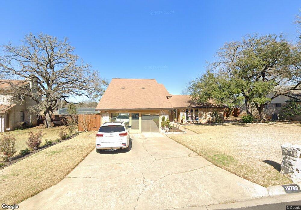
10700 Gungrove Dr Austin, TX 78750
Anderson Mill NeighborhoodEstimated Value: $537,000 - $678,000
--
Bed
3
Baths
3,120
Sq Ft
$189/Sq Ft
Est. Value
About This Home
This home is located at 10700 Gungrove Dr, Austin, TX 78750 and is currently estimated at $588,372, approximately $188 per square foot. 10700 Gungrove Dr is a home located in Williamson County with nearby schools including Anderson Mill Elementary School, Noel Grisham Middle, and Westwood High School.
Create a Home Valuation Report for This Property
The Home Valuation Report is an in-depth analysis detailing your home's value as well as a comparison with similar homes in the area
Home Values in the Area
Average Home Value in this Area
Tax History Compared to Growth
Tax History
| Year | Tax Paid | Tax Assessment Tax Assessment Total Assessment is a certain percentage of the fair market value that is determined by local assessors to be the total taxable value of land and additions on the property. | Land | Improvement |
|---|---|---|---|---|
| 2025 | $2,774 | $565,233 | -- | -- |
| 2024 | $2,774 | $509,344 | -- | -- |
| 2023 | $2,653 | $463,040 | $0 | $0 |
| 2022 | $9,038 | $420,945 | $0 | $0 |
| 2021 | $9,401 | $382,677 | $72,000 | $392,471 |
| 2020 | $8,277 | $347,888 | $66,598 | $283,262 |
| 2019 | $7,736 | $316,262 | $60,700 | $255,562 |
| 2018 | $3,999 | $297,605 | $54,891 | $242,714 |
| 2017 | $6,995 | $280,231 | $51,300 | $251,878 |
| 2016 | $6,359 | $254,755 | $51,300 | $212,961 |
| 2015 | $3,880 | $231,595 | $42,100 | $197,186 |
| 2014 | $3,880 | $210,541 | $0 | $0 |
Source: Public Records
Map
Nearby Homes
- 10606 Mourning Dove Dr
- 11533 Sandy Loam Trail
- 11000 Anderson Mill Rd Unit 96
- 11000 Anderson Mill Rd Unit 63
- 11007 Opal Trail
- 11100 Alison Parke Trail
- 11302 Centennial Trail
- 10903 Cade Cir
- 10404 Mourning Dove Dr
- 11402 Pickfair Dr
- 10401 Mourning Dove Dr
- 11902 Millwright Pkwy
- 11905 Millwright Pkwy
- 10255 Missel Thrush Dr
- 11512 Tin Cup Dr Unit 309
- 11512 Tin Cup Dr Unit 205
- 1028 Verbena Dr
- 11310 Spicewood Club Dr Unit 12
- 11310 Spicewood Club Dr Unit 21
- 12106 Grey Fawn Path
- 10606 Gungrove Dr
- 10702 Gungrove Dr
- 10604 Gungrove Dr
- 10704 Gungrove Dr Unit A
- 10704 Gungrove Dr
- 11606 Gungrove Cir
- 10703 Gungrove Dr
- 11605 Gungrove Cir
- 10602 Gungrove Dr
- 10705 Gungrove Dr
- 11604 Gungrove Cir
- 10603 Gungrove Dr
- 10600 Gungrove Dr
- 11603 Gungrove Cir
- 11610 Crosstimber Dr
- 11700 Crosstimber Dr
- 10707 Mourning Dove Dr
- 10801 Thicket Trail
- 10703 Mourning Dove Dr
- 11551 Sandy Loam Trail