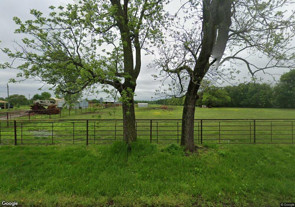
10700 Maple Rd Carthage, MO 64836
Estimated Value: $191,000 - $329,000
Studio
--
Bath
1,800
Sq Ft
$154/Sq Ft
Est. Value
About This Home
This home is located at 10700 Maple Rd, Carthage, MO 64836 and is currently estimated at $276,714, approximately $153 per square foot. 10700 Maple Rd is a home with nearby schools including Avilla Elementary School.
Ownership History
Date
Name
Owned For
Owner Type
Purchase Details
Closed on
Aug 9, 2013
Sold by
Helm Kenneth D and Helm Arlyce L
Bought by
Pashia Nicholas J
Current Estimated Value
Home Financials for this Owner
Home Financials are based on the most recent Mortgage that was taken out on this home.
Original Mortgage
$18,500
Interest Rate
4.53%
Mortgage Type
Future Advance Clause Open End Mortgage
Create a Home Valuation Report for This Property
The Home Valuation Report is an in-depth analysis detailing your home's value as well as a comparison with similar homes in the area
Purchase History
| Date | Buyer | Sale Price | Title Company |
|---|---|---|---|
| Pashia Nicholas J | -- | Cb Title Inc |
Source: Public Records
Mortgage History
| Date | Status | Borrower | Loan Amount |
|---|---|---|---|
| Closed | Pashia Nicholas J | $18,500 |
Source: Public Records
Tax History
| Year | Tax Paid | Tax Assessment Tax Assessment Total Assessment is a certain percentage of the fair market value that is determined by local assessors to be the total taxable value of land and additions on the property. | Land | Improvement |
|---|---|---|---|---|
| 2025 | $1,224 | $31,390 | $2,040 | $29,350 |
| 2024 | $1,224 | $28,250 | $2,040 | $26,210 |
| 2023 | $1,224 | $28,250 | $2,040 | $26,210 |
| 2022 | $1,213 | $28,730 | $2,040 | $26,690 |
| 2021 | $1,209 | $28,730 | $2,040 | $26,690 |
| 2020 | $1,090 | $24,920 | $2,040 | $22,880 |
| 2019 | $1,093 | $24,920 | $2,040 | $22,880 |
| 2018 | $723 | $16,520 | $0 | $0 |
| 2017 | $22 | $500 | $0 | $0 |
| 2016 | $22 | $500 | $0 | $0 |
| 2015 | -- | $500 | $0 | $0 |
| 2014 | -- | $630 | $0 | $0 |
Source: Public Records
Map
Nearby Homes
- 10450 County Road 100
- 11279 County Road 130
- 000 Locust Rd
- 000 County Road 140
- 9670 County Lane 116
- 9895 County Lane 93
- 8255 State Highway 96
- 13825 Jasmine Loop
- 14146 Kafir Rd
- 7686 State Highway 96
- Tbd Highway Hh S 25
- XXX County Road 60
- Lot 6 & 7 Indian Ridge Ln
- 6060 Oak Rd
- 1012 S Palomino Rd
- 7907 County Road 118
- 7777 Cr-110
- 000 Civil War Rd
- 300 N Maple St
- TBD Harmony Rd
- 10784 Maple Rd
- 12870 County Road 110
- 13093 County Road 110
- 11095 Maple Rd
- 10801 Mossey Oak Ln
- 1900 Bluebird Way
- 10274 Maple Rd
- 10220 Maple Rd
- 12780 County Road 110
- 13519 County Road 110
- 13575 County Road 110
- 11425 Maple Rd
- 12905 County Road 100
- 12757 County Road 100
- 12665 County Road 100
- 12650 County Road 100
- 10116 Newcastle Ln
- 10615 Locust Rd
- 10355 Locust Rd
