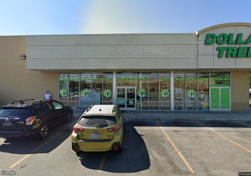
10701 Ustick Rd Unit 10701 W. Ustick Boise, ID 83713
West Boise Neighborhood
--
Bed
--
Bath
8,000
Sq Ft
0.88
Acres
About This Home
This home is located at 10701 Ustick Rd Unit 10701 W. Ustick, Boise, ID 83713. 10701 Ustick Rd Unit 10701 W. Ustick is a home located in Ada County with nearby schools including Summerwind STEM Academy, Lowell Scott Middle School, and Centennial High School.
Ownership History
Date
Name
Owned For
Owner Type
Purchase Details
Closed on
Apr 29, 2013
Sold by
Page Hope A and The Hope Page Trust
Bought by
Sugar Bowl 1031 Llc
Purchase Details
Closed on
Apr 8, 2013
Sold by
Rwb Llc
Bought by
Page Investments Llc
Purchase Details
Closed on
Dec 3, 2001
Sold by
Ramon Park Associates Ltd
Bought by
Rwb Llc
Purchase Details
Closed on
Dec 27, 1996
Sold by
Billingsley Creek Ranch Ltd Partnership
Bought by
First Security Bank N A and Curtis Mcfadden Residual T U W
Create a Home Valuation Report for This Property
The Home Valuation Report is an in-depth analysis detailing your home's value as well as a comparison with similar homes in the area
Home Values in the Area
Average Home Value in this Area
Purchase History
| Date | Buyer | Sale Price | Title Company |
|---|---|---|---|
| Sugar Bowl 1031 Llc | -- | None Available | |
| Page Investments Llc | -- | First American Title & Escro | |
| Rwb Llc | -- | Alliance Title Company | |
| Ramon Park Associates Ltd | -- | Alliance Title Company | |
| Ramon Park Associates Ltd | -- | Alliance Title Company | |
| First Security Bank N A | -- | -- |
Source: Public Records
Tax History Compared to Growth
Tax History
| Year | Tax Paid | Tax Assessment Tax Assessment Total Assessment is a certain percentage of the fair market value that is determined by local assessors to be the total taxable value of land and additions on the property. | Land | Improvement |
|---|---|---|---|---|
| 2025 | $12,639 | $1,936,600 | -- | -- |
| 2024 | $13,303 | $1,911,200 | -- | -- |
| 2023 | $13,303 | $1,911,200 | $0 | $0 |
| 2022 | $10,620 | $1,573,100 | $0 | $0 |
| 2021 | $10,902 | $1,243,500 | $0 | $0 |
| 2020 | $12,300 | $1,234,000 | $0 | $0 |
| 2019 | $15,739 | $1,229,000 | $0 | $0 |
| 2018 | $16,962 | $1,194,200 | $0 | $0 |
| 2017 | $16,444 | $1,088,800 | $0 | $0 |
| 2016 | $17,377 | $1,123,100 | $0 | $0 |
| 2015 | $8,003 | $1,050,100 | $0 | $0 |
Source: Public Records
Map
Nearby Homes
- 10742 W Ardyce Ln Unit 11
- 3552 N Covered Wagon Way
- 11143 W Ramrod Dr
- 11000 W Ramrod Dr
- 3289 N Dove Place
- 10319 W Ardyce St
- 2573 & 2575 N Dusty Ln
- 10000 W Tudor Dr
- 2791 N Siesta Ln
- 11175 W Hinsdale St
- 11288 W Race Ct
- 10974 W Edna St
- 10014 Dewitt Ln
- 11303 W Tahiti St
- 2281 N Shaelyn Ln
- 2299 N Shaelyn Ln
- 2293 N Shaelyn Ln
- 3375 N Jones Place
- 10778 W Ripley St
- 3845 N Shamrock Ave
- 10787 W Ustick Rd
- 3254 N Buckboard Way
- 3097 N Five Mile Rd
- 3097 N Five Mile Rd
- 3248 N Buckboard Way
- 3266 N Buckboard Way
- 3284 N Buckboard Way
- 3240 N Buckboard Way
- 10887 Ustick Rd
- 10887 W Ustick Rd
- 10941 W Ustick Rd
- 10941 W Ustick Rd
- 2923 N Five Mile Rd
- 2927 N Five Mile Rd
- 3300 N Buckboard Way
- 3267 N Buckboard Way
- 3204 Frontier Way
- 3285 N Buckboard Way
- 3336 N Buckboard Way
- 3233 N