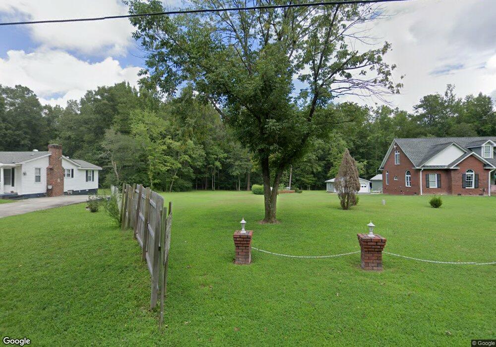
10707 Beaver Bridge Rd Chesterfield, VA 23838
South Chesterfield County NeighborhoodEstimated Value: $559,267 - $815,000
3
Beds
3
Baths
2,684
Sq Ft
$246/Sq Ft
Est. Value
About This Home
This home is located at 10707 Beaver Bridge Rd, Chesterfield, VA 23838 and is currently estimated at $659,067, approximately $245 per square foot. 10707 Beaver Bridge Rd is a home located in Chesterfield County with nearby schools including Grange Hall Elementary School, Bailey Bridge Middle School, and Cosby High School.
Ownership History
Date
Name
Owned For
Owner Type
Purchase Details
Closed on
May 27, 2021
Sold by
Mann Arletha J
Bought by
Mann Darrell M
Current Estimated Value
Purchase Details
Closed on
Jul 9, 2019
Sold by
Mann Milton C and Mann Arletha J
Bought by
Mann Arletha J
Purchase Details
Closed on
Jul 27, 2018
Sold by
Mann Milton C and Mann Arletha J
Bought by
Arletha J Milton C
Create a Home Valuation Report for This Property
The Home Valuation Report is an in-depth analysis detailing your home's value as well as a comparison with similar homes in the area
Home Values in the Area
Average Home Value in this Area
Purchase History
| Date | Buyer | Sale Price | Title Company |
|---|---|---|---|
| Mann Darrell M | -- | None Listed On Document | |
| Mann Arletha J | -- | None Available | |
| Arletha J Milton C | -- | None Available |
Source: Public Records
Tax History Compared to Growth
Tax History
| Year | Tax Paid | Tax Assessment Tax Assessment Total Assessment is a certain percentage of the fair market value that is determined by local assessors to be the total taxable value of land and additions on the property. | Land | Improvement |
|---|---|---|---|---|
| 2025 | $4,856 | $542,800 | $66,200 | $476,600 |
| 2024 | $4,856 | $501,300 | $63,400 | $437,900 |
| 2023 | $4,213 | $463,000 | $58,600 | $404,400 |
| 2022 | $3,992 | $433,900 | $53,800 | $380,100 |
| 2021 | $3,713 | $386,100 | $53,800 | $332,300 |
| 2020 | $3,585 | $370,500 | $53,800 | $316,700 |
| 2019 | $3,468 | $365,100 | $52,800 | $312,300 |
| 2018 | $3,382 | $362,000 | $51,800 | $310,200 |
| 2017 | $3,276 | $336,000 | $50,900 | $285,100 |
| 2016 | $3,202 | $333,500 | $49,900 | $283,600 |
| 2015 | $3,132 | $323,600 | $48,000 | $275,600 |
| 2014 | $3,060 | $316,100 | $48,000 | $268,100 |
Source: Public Records
Map
Nearby Homes
- 10601 Beaver Bridge Rd
- 11121 Coalboro Rd
- 9900 Beaver Bridge Rd
- 11451 Black Rd
- 16906 Farthing Ct
- 16912 Farthing Ct
- NANTUCKET Plan at Copper Grove at Harpers Mill
- Hampshire Plan at Copper Grove at Harpers Mill
- Hadley Plan at Copper Grove at Harpers Mill
- Westerly Plan at Copper Grove at Harpers Mill
- Tillman Plan at Copper Grove at Harpers Mill
- Jamestown Plan at Copper Grove at Harpers Mill
- Summit Plan at Copper Grove at Harpers Mill
- 8849 Farthing Dr
- 8843 Farthing Dr
- 8854 Farthing Dr
- 8831 Farthing Dr
- 8837 Farthing Dr
- 8825 Farthing Dr
- 8819 Farthing Dr
- 10711 Beaver Bridge Rd
- 10703 Beaver Bridge Rd
- 10701 Beaver Bridge Rd
- 10715 Beaver Bridge Rd
- 10630 Beaver Bridge Rd
- 10705 Beaver Bridge Rd
- 10721 Beaver Bridge Rd
- 10708 Beaver Bridge Rd
- 10724 Beaver Bridge Rd
- 10719 Beaver Bridge Rd
- 10621 Beaver Bridge Rd
- 10626 Beaver Bridge Rd
- 10620 Beaver Bridge Rd
- 10728 Beaver Bridge Rd
- 10611 Beaver Bridge Rd
- 10615 Beaver Bridge Rd
- 10531 Beaver Bridge Rd
- 10732 Beaver Bridge Rd
- 10730 Beaver Bridge Rd
- 10731 Beaver Bridge Rd