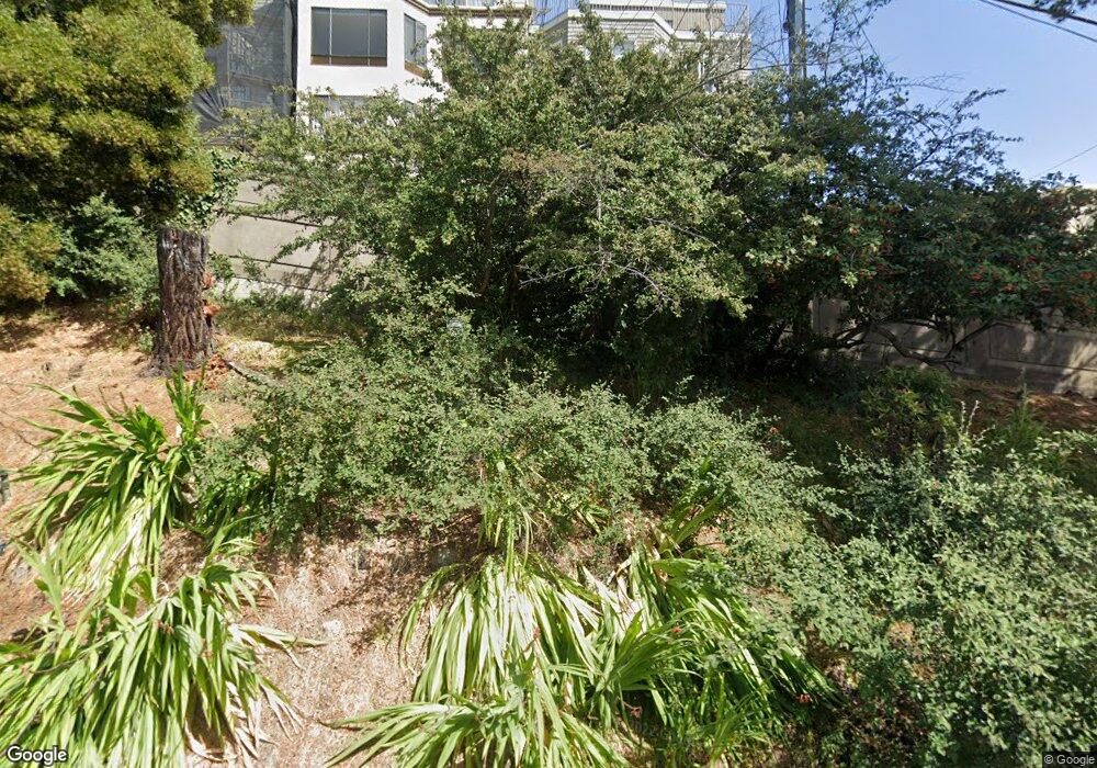
1071 Carolina St Unit 1071 San Francisco, CA 94107
Potrero NeighborhoodEstimated Value: $1,033,905 - $1,542,000
2
Beds
2
Baths
1,369
Sq Ft
$919/Sq Ft
Est. Value
About This Home
This home is located at 1071 Carolina St Unit 1071, San Francisco, CA 94107 and is currently estimated at $1,258,476, approximately $919 per square foot. 1071 Carolina St Unit 1071 is a home located in San Francisco County with nearby schools including Thomas Starr King Elementary School, Aptos Middle School, and Mission Preparatory.
Ownership History
Date
Name
Owned For
Owner Type
Purchase Details
Closed on
Feb 12, 2004
Sold by
Griffin Paul Alexis and Rhode John Grant
Bought by
Sheets Troy M and Sheets Katherine E
Current Estimated Value
Home Financials for this Owner
Home Financials are based on the most recent Mortgage that was taken out on this home.
Original Mortgage
$521,440
Outstanding Balance
$240,982
Interest Rate
5.62%
Mortgage Type
Purchase Money Mortgage
Estimated Equity
$1,017,494
Create a Home Valuation Report for This Property
The Home Valuation Report is an in-depth analysis detailing your home's value as well as a comparison with similar homes in the area
Home Values in the Area
Average Home Value in this Area
Purchase History
| Date | Buyer | Sale Price | Title Company |
|---|---|---|---|
| Sheets Troy M | $652,000 | Old Republic Title Company |
Source: Public Records
Mortgage History
| Date | Status | Borrower | Loan Amount |
|---|---|---|---|
| Open | Sheets Troy M | $521,440 |
Source: Public Records
Tax History Compared to Growth
Tax History
| Year | Tax Paid | Tax Assessment Tax Assessment Total Assessment is a certain percentage of the fair market value that is determined by local assessors to be the total taxable value of land and additions on the property. | Land | Improvement |
|---|---|---|---|---|
| 2025 | $11,350 | $926,710 | $463,355 | $463,355 |
| 2024 | $11,350 | $908,540 | $454,270 | $454,270 |
| 2023 | $11,174 | $890,726 | $445,363 | $445,363 |
| 2022 | $10,952 | $873,262 | $436,631 | $436,631 |
| 2021 | $10,755 | $856,140 | $428,070 | $428,070 |
| 2020 | $10,812 | $847,362 | $423,681 | $423,681 |
| 2019 | $10,442 | $830,748 | $415,374 | $415,374 |
| 2018 | $10,089 | $814,460 | $407,230 | $407,230 |
| 2017 | $9,671 | $798,492 | $399,246 | $399,246 |
| 2016 | $9,501 | $782,836 | $391,418 | $391,418 |
| 2015 | $9,381 | $771,078 | $385,539 | $385,539 |
| 2014 | $9,133 | $755,974 | $377,987 | $377,987 |
Source: Public Records
Map
Nearby Homes
- 1040 Wisconsin St
- 1145 Wisconsin St
- 2225 23rd St Unit 214
- 1013 Rhode Island St
- 2023 22nd St
- 2250 24th St Unit 127
- 1338 Rhode Island St
- 1002 Rhode Island St Unit 1
- 2119 22nd St
- 19 Blair Terrace
- 1300 22nd St Unit 220
- 573 Connecticut St
- 561 Connecticut St
- 701 Pennsylvania Ave Unit 109
- 701 Pennsylvania Ave Unit 107
- 1812 20th St
- 699 Pennsylvania Ave Unit 2
- 666 Carolina St Unit 666
- 2603 23rd St
- 1354 Utah St Unit 1354
- 1073 Carolina St Unit 1073
- 1075 Carolina St
- 1067 Carolina St Unit 1069
- 1063 Carolina St
- 1065 Carolina St
- 1053 Carolina St Unit 1055
- 1055 Carolina St
- 1920 23rd St
- 1922 23rd St
- 1918 23rd St
- 1944 23rd St
- 964 Wisconsin St
- 1049 Carolina St
- 1914 23rd St
- 970 Wisconsin St Unit 2
- 970 Wisconsin St Unit 1
- 1912 23rd St
- 946 Wisconsin St
- 950 Wisconsin St
- 1039 Carolina St
