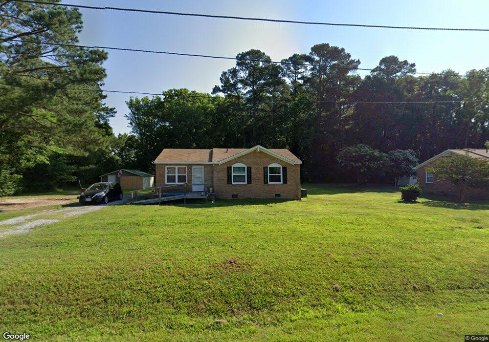
1071 Johnson Cir Franklin, VA 23851
Estimated Value: $208,000 - $229,105
3
Beds
2
Baths
1,021
Sq Ft
$213/Sq Ft
Est. Value
About This Home
This home is located at 1071 Johnson Cir, Franklin, VA 23851 and is currently estimated at $217,526, approximately $213 per square foot. 1071 Johnson Cir is a home located in Isle of Wight County with nearby schools including Carrsville Elementary School, Georgie D. Tyler Middle School, and Windsor High School.
Ownership History
Date
Name
Owned For
Owner Type
Purchase Details
Closed on
Jun 24, 2022
Sold by
Kimbrell Richard R
Bought by
Aiken Stephanie and Hernandez Gabriela
Current Estimated Value
Home Financials for this Owner
Home Financials are based on the most recent Mortgage that was taken out on this home.
Original Mortgage
$196,377
Interest Rate
5.55%
Mortgage Type
FHA
Purchase Details
Closed on
Aug 7, 2009
Sold by
Federal National Mortgage Assoc
Purchase Details
Closed on
Oct 16, 2008
Purchase Details
Closed on
Oct 12, 1993
Create a Home Valuation Report for This Property
The Home Valuation Report is an in-depth analysis detailing your home's value as well as a comparison with similar homes in the area
Purchase History
| Date | Buyer | Sale Price | Title Company |
|---|---|---|---|
| Aiken Stephanie | $200,000 | Seashore Title | |
| -- | $55,000 | -- | |
| -- | $53,500 | -- | |
| -- | $68,000 | -- |
Source: Public Records
Mortgage History
| Date | Status | Borrower | Loan Amount |
|---|---|---|---|
| Previous Owner | Aiken Stephanie | $196,377 |
Source: Public Records
Tax History
| Year | Tax Paid | Tax Assessment Tax Assessment Total Assessment is a certain percentage of the fair market value that is determined by local assessors to be the total taxable value of land and additions on the property. | Land | Improvement |
|---|---|---|---|---|
| 2025 | $1,514 | $195,400 | $35,000 | $160,400 |
| 2024 | $1,426 | $195,400 | $35,000 | $160,400 |
| 2023 | $1,441 | $195,400 | $35,000 | $160,400 |
| 2022 | $1,057 | $118,000 | $30,000 | $88,000 |
| 2021 | $1,057 | $118,000 | $30,000 | $88,000 |
| 2020 | $1,057 | $118,000 | $30,000 | $88,000 |
| 2019 | $1,057 | $118,000 | $30,000 | $88,000 |
| 2018 | $3,969 | $106,300 | $30,000 | $76,300 |
| 2016 | $976 | $106,300 | $30,000 | $76,300 |
| 2015 | $2,843 | $106,300 | $30,000 | $76,300 |
| 2014 | $2,843 | $113,700 | $40,000 | $73,700 |
| 2013 | -- | $113,700 | $40,000 | $73,700 |
Source: Public Records
Map
Nearby Homes
- 1086 Johnson Cir
- 2125 Carrsville Hwy
- 33425 Carver Rd
- 203 Council Rd
- 311 Council Rd
- 32136 Walters Hwy
- 105 Homestead Rd
- 105 Wynnwood Dr
- 508 N High St
- 506 N High St
- 236 Landview Ln
- 501 N High St
- 136 River Landing Crescent
- 506 Lee St
- 107 N High St
- 403 W 4th Ave
- 303 W 2nd Ave
- 405 W 2nd Ave
- 508 W 2nd Ave
- 310 Barrett St
- 1081 Johnson Cir
- 1068 Johnson Cir
- 1076 Johnson Cir
- 1101 Johnson Cir
- 1096 Johnson Cir
- 32433 Airport Dr
- 32425 Airport Dr
- 32455 Airport Dr
- 32477 Airport Dr
- 1140 Johnson Cir
- 1114 Johnson Cir
- 32424 Airport Dr
- 1124 Johnson Cir
- 32493 Airport Dr
- 32521 Airport Dr
- 32507 Airport Dr
- 32515 Airport Dr
- 32537 Airport Dr
- 32551 Airport Dr
- 32562 Airport Dr
Your Personal Tour Guide
Ask me questions while you tour the home.