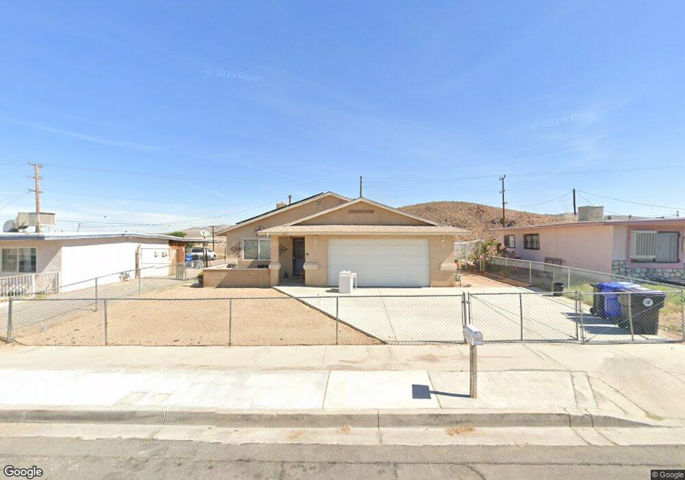
1071 Mojave Dr Barstow, CA 92311
Estimated Value: $222,000 - $327,000
3
Beds
2
Baths
1,396
Sq Ft
$187/Sq Ft
Est. Value
About This Home
This home is located at 1071 Mojave Dr, Barstow, CA 92311 and is currently estimated at $261,211, approximately $187 per square foot. 1071 Mojave Dr is a home located in San Bernardino County with nearby schools including Barstow Junior High School, Barstow High School, and Mojave River Academy - Silver Mountain.
Ownership History
Date
Name
Owned For
Owner Type
Purchase Details
Closed on
Jul 3, 2013
Sold by
Secretary Of Housing & Urban Development
Bought by
Buenrostro Armando F
Current Estimated Value
Home Financials for this Owner
Home Financials are based on the most recent Mortgage that was taken out on this home.
Original Mortgage
$83,572
Outstanding Balance
$64,619
Interest Rate
5.5%
Mortgage Type
FHA
Estimated Equity
$196,592
Purchase Details
Closed on
Apr 19, 2013
Sold by
Buenrostro Daneille
Bought by
Buenrostro Armando F
Home Financials for this Owner
Home Financials are based on the most recent Mortgage that was taken out on this home.
Original Mortgage
$2,440
Interest Rate
3.88%
Mortgage Type
Stand Alone Second
Purchase Details
Closed on
Aug 30, 2012
Sold by
Bank Of America Na
Bought by
The Secretary Of Housing & Urban Develop
Purchase Details
Closed on
Dec 1, 2006
Sold by
Singletary Julie D
Bought by
Vasquez Shane L and Vasquez Andrea
Create a Home Valuation Report for This Property
The Home Valuation Report is an in-depth analysis detailing your home's value as well as a comparison with similar homes in the area
Home Values in the Area
Average Home Value in this Area
Purchase History
| Date | Buyer | Sale Price | Title Company |
|---|---|---|---|
| Buenrostro Armando F | $87,000 | Chicago Title Company | |
| Buenrostro Armando F | -- | Chicago Title Company | |
| The Secretary Of Housing & Urban Develop | -- | Landsafe Title | |
| Bank Of America Na | $170,549 | Landsafe Title | |
| Vasquez Shane L | $35,000 | North American Title Company |
Source: Public Records
Mortgage History
| Date | Status | Borrower | Loan Amount |
|---|---|---|---|
| Open | Buenrostro Armando F | $83,572 | |
| Previous Owner | Buenrostro Armando F | $2,440 |
Source: Public Records
Tax History
| Year | Tax Paid | Tax Assessment Tax Assessment Total Assessment is a certain percentage of the fair market value that is determined by local assessors to be the total taxable value of land and additions on the property. | Land | Improvement |
|---|---|---|---|---|
| 2025 | $1,223 | $106,651 | $26,969 | $79,682 |
| 2024 | $1,201 | $104,560 | $26,440 | $78,120 |
| 2023 | $1,176 | $102,510 | $25,922 | $76,588 |
| 2022 | $1,171 | $100,500 | $25,414 | $75,086 |
| 2021 | $1,137 | $98,530 | $24,916 | $73,614 |
| 2020 | $1,139 | $97,520 | $24,661 | $72,859 |
| 2019 | $1,079 | $95,607 | $24,177 | $71,430 |
| 2018 | $1,132 | $93,732 | $23,703 | $70,029 |
| 2017 | $1,024 | $91,894 | $23,238 | $68,656 |
| 2016 | $1,012 | $90,092 | $22,782 | $67,310 |
| 2015 | $991 | $88,739 | $22,440 | $66,299 |
| 2014 | $984 | $87,000 | $22,000 | $65,000 |
Source: Public Records
Map
Nearby Homes
- 813 E Fredricks St
- 541 Frances Dr
- 540 Frances Dr
- 322 Maxine Ave
- 561 Frances Dr
- 317-319 Melissa Ave
- 0 Unnamed Rd Unit SW25046623
- 616 E White St
- 610 Agnes Dr
- 625 E Fredricks St
- 620 Kathleen Dr
- 515 Clark St
- 660 Kathleen Dr
- 700 Agnes Dr
- 621 Stevens Ave
- 611 Lillian Dr
- 469 National Trails Hwy
- 521 E Williams St
- 0 E Carmen Dr Unit HD22184292
- 0 Mesa Dr
Your Personal Tour Guide
Ask me questions while you tour the home.