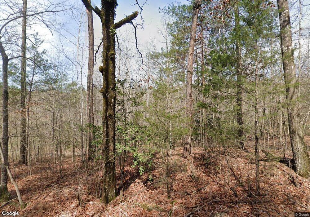
1071 White Cut Rd Walhalla, SC 29691
Estimated Value: $177,000 - $726,074
4
Beds
4
Baths
3,722
Sq Ft
$126/Sq Ft
Est. Value
About This Home
This home is located at 1071 White Cut Rd, Walhalla, SC 29691 and is currently estimated at $468,691, approximately $125 per square foot. 1071 White Cut Rd is a home with nearby schools including Walhalla Elementary School, Walhalla Middle School, and Walhalla High School.
Ownership History
Date
Name
Owned For
Owner Type
Purchase Details
Closed on
Dec 3, 2018
Sold by
Madden William M
Bought by
Countess Jon J and Countess Kia H
Current Estimated Value
Home Financials for this Owner
Home Financials are based on the most recent Mortgage that was taken out on this home.
Original Mortgage
$161,500
Outstanding Balance
$101,449
Interest Rate
4.9%
Mortgage Type
Unknown
Estimated Equity
$367,242
Purchase Details
Closed on
Dec 2, 2014
Sold by
Community First Bank
Bought by
Madden William M
Purchase Details
Closed on
Feb 28, 2012
Sold by
Ivester John C
Bought by
Community First Bank
Create a Home Valuation Report for This Property
The Home Valuation Report is an in-depth analysis detailing your home's value as well as a comparison with similar homes in the area
Home Values in the Area
Average Home Value in this Area
Purchase History
| Date | Buyer | Sale Price | Title Company |
|---|---|---|---|
| Countess Jon J | $190,000 | None Available | |
| Madden William M | $330,000 | -- | |
| Community First Bank | $550,000 | -- |
Source: Public Records
Mortgage History
| Date | Status | Borrower | Loan Amount |
|---|---|---|---|
| Open | Countess Jon J | $161,500 |
Source: Public Records
Tax History Compared to Growth
Tax History
| Year | Tax Paid | Tax Assessment Tax Assessment Total Assessment is a certain percentage of the fair market value that is determined by local assessors to be the total taxable value of land and additions on the property. | Land | Improvement |
|---|---|---|---|---|
| 2025 | $8,011 | $47,122 | $10,235 | $36,887 |
| 2024 | $37 | $19,738 | $9,316 | $10,422 |
| 2023 | $37 | $19,738 | $9,316 | $10,422 |
| 2022 | $37 | $19,738 | $9,316 | $10,422 |
| 2021 | $123 | $18,651 | $9,206 | $9,445 |
| 2020 | $39 | $0 | $0 | $0 |
| 2019 | $39 | $0 | $0 | $0 |
| 2018 | $126 | $0 | $0 | $0 |
| 2017 | $123 | $0 | $0 | $0 |
| 2016 | $123 | $0 | $0 | $0 |
| 2015 | -- | $0 | $0 | $0 |
| 2014 | -- | $19,385 | $19,385 | $0 |
| 2013 | -- | $0 | $0 | $0 |
Source: Public Records
Map
Nearby Homes
- 00 Oconee Station Rd
- 147 Lakeside Dr
- 494 Old Bear Ln
- 525 Blueberry Ln
- 31 A Bonner Rd
- 0 C H 68
- 12 Walnut Dr
- 5467 - 5471 N Highway 11
- 001 Lenore B Ln
- 00 Dr
- 857 Pickett Post Rd
- 00 Homeland (5 04 Acres) Dr
- 698 Pickett Post Rd
- 525 Sixteenth Cir
- 181 Homeland Dr
- 533 Sixteenth Cir
- 910 White Cut Rd
- 00 Homeland Dr
- 731 Christmas Tree Ln
- 614 Village Dr
- 115 Laurelwood Way
- 160 Lee Farm Rd
- 0 Lee Farm Rd
- 199 Blackberry Hill Ln
- 155 Blackberry Hill Ln
- 651 Oconee Station Rd
- 481 Oconee Station Rd
- 500 Oconee Station Rd
- 00 White Cut Rd
- 661 Oconee Station Rd
- 690 Oconee Station Rd
- 689 Oconee Station Rd
- 455 Wild Hog Rd
- 465 Oconee Station Rd
- 496 Wild Hog Rd
- 480 Wild Hog Rd
- lot 34 Hedge Maple Way
