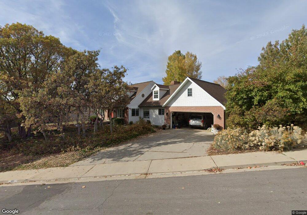
1071 Windsor Dr Provo, UT 84604
Rock Canyon NeighborhoodEstimated Value: $676,000
7
Beds
4
Baths
5,285
Sq Ft
$128/Sq Ft
Est. Value
About This Home
This home is located at 1071 Windsor Dr, Provo, UT 84604 and is currently priced at $676,000, approximately $127 per square foot. 1071 Windsor Dr is a home located in Utah County with nearby schools including Canyon Crest Elementary School, Centennial Middle School, and Timpview High School.
Create a Home Valuation Report for This Property
The Home Valuation Report is an in-depth analysis detailing your home's value as well as a comparison with similar homes in the area
Home Values in the Area
Average Home Value in this Area
Tax History
We collect this data history from publicly available records. To have your information removed, we recommend requesting removal directly through your county’s website.
| Year | Tax Paid | Tax Assessment Tax Assessment Total Assessment is a certain percentage of the fair market value that is determined by local assessors to be the total taxable value of land and additions on the property. | Land | Improvement |
|---|---|---|---|---|
| 2026 | $5,222 | $978,300 | $308,200 | $670,100 |
| 2025 | $5,029 | $521,180 | ||
| 2024 | $5,029 | $495,000 | $0 | $0 |
| 2023 | $4,943 | $479,655 | $0 | $0 |
| 2022 | $4,492 | $439,560 | $0 | $0 |
| 2021 | $3,583 | $611,500 | $189,700 | $421,800 |
| 2020 | $3,573 | $571,600 | $158,100 | $413,500 |
Source: Public Records
Map
Nearby Homes
- 4612 N Bristol Cir
- 1085 Windsor Dr
- 4537 Mile High Dr
- 4606 Brookshire Cir
- 4662 Brookshire Cir
- 4299 Ivy Ln
- 4355 Imperial Way
- 4277 N Imperial Way E Unit 347
- 4145 Foothill Dr
- 4150 Dover Ln
- 4122 Imperial Way
- 4093 Imperial Way
- 4078 Foothill Dr
- 4536 N 475 E
- 4155 N Crestview Ave
- 505 E 4750 N
- 596 E 4190 N Unit 5
- 695 E 3950 N
- 4861 N 300 St E
- 3813 Foothill Dr
- 4612 Bristol Cir
- 1068 Windsor Dr
- 1082 Windsor Dr
- 4621 Bristol Cir
- 4629 Windsor Dr
- 1057 Windsor Dr Unit 170
- 1057 Windsor Dr Unit 170
- 1057 Windsor Dr
- 4607 Windsor Dr
- 4653 Windsor Dr
- 4540 Bristol Cir
- 4585 Windsor Dr
- 1094 Windsor Dr
- 1040 Windsor Dr
- 4681 Windsor Dr
- 4563 Windsor Dr
- 4594 Victoria Cir
- 4551 N Victoria Cir Unit 159
- 4573 N Victoria Cir Unit 158
- 1037 Windsor Dr
Your Personal Tour Guide
Ask me questions while you tour the home.