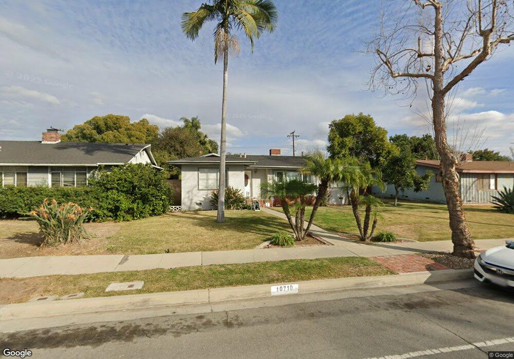
10710 1st Ave Whittier, CA 90603
South Whittier NeighborhoodEstimated Value: $785,000 - $834,610
3
Beds
2
Baths
1,316
Sq Ft
$615/Sq Ft
Est. Value
About This Home
This home is located at 10710 1st Ave, Whittier, CA 90603 and is currently estimated at $808,903, approximately $614 per square foot. 10710 1st Ave is a home located in Los Angeles County with nearby schools including Jordan Elementary School, Rancho-Starbuck Intermediate School, and La Habra High School.
Ownership History
Date
Name
Owned For
Owner Type
Purchase Details
Closed on
Sep 26, 2009
Sold by
Rangel Jose
Bought by
Sarkissian Dikran and Sarkissian Linda
Current Estimated Value
Purchase Details
Closed on
Jun 29, 2006
Sold by
Alvarez John J
Bought by
Rangel Jose
Home Financials for this Owner
Home Financials are based on the most recent Mortgage that was taken out on this home.
Original Mortgage
$428,000
Interest Rate
8.73%
Mortgage Type
Negative Amortization
Purchase Details
Closed on
Jan 8, 1998
Sold by
Alvarez Beatrice
Bought by
Alvarez John J and Alvarez Beatrice L
Create a Home Valuation Report for This Property
The Home Valuation Report is an in-depth analysis detailing your home's value as well as a comparison with similar homes in the area
Home Values in the Area
Average Home Value in this Area
Purchase History
| Date | Buyer | Sale Price | Title Company |
|---|---|---|---|
| Sarkissian Dikran | $309,000 | Itc Gln | |
| Rangel Jose | $535,000 | Commonwealth Land Title | |
| Alvarez John J | -- | -- | |
| Alvarez John J | -- | -- |
Source: Public Records
Mortgage History
| Date | Status | Borrower | Loan Amount |
|---|---|---|---|
| Previous Owner | Rangel Jose | $428,000 |
Source: Public Records
Tax History Compared to Growth
Tax History
| Year | Tax Paid | Tax Assessment Tax Assessment Total Assessment is a certain percentage of the fair market value that is determined by local assessors to be the total taxable value of land and additions on the property. | Land | Improvement |
|---|---|---|---|---|
| 2025 | $4,707 | $398,849 | $232,856 | $165,993 |
| 2024 | $4,707 | $391,030 | $228,291 | $162,739 |
| 2023 | $4,606 | $383,364 | $223,815 | $159,549 |
| 2022 | $4,560 | $375,848 | $219,427 | $156,421 |
| 2021 | $4,464 | $368,479 | $215,125 | $153,354 |
| 2019 | $4,350 | $357,552 | $208,746 | $148,806 |
| 2018 | $4,106 | $350,542 | $204,653 | $145,889 |
| 2016 | $3,926 | $336,932 | $196,707 | $140,225 |
| 2015 | $3,772 | $331,872 | $193,753 | $138,119 |
| 2014 | $3,718 | $325,372 | $189,958 | $135,414 |
Source: Public Records
Map
Nearby Homes
- 16121 Lisco St
- 16164 Leffco Rd
- 10931 Groveside Ave
- 10930 Groveland Ave
- 10418 Bogardus Ave Unit 4
- 16046 Gables Loop
- 15914 Lashburn St
- 16040 Leffingwell Rd Unit 76
- 16040 Leffingwell Rd Unit 103
- 16040 Leffingwell Rd Unit 92
- 16540 Whittier Blvd
- 16428 Whittier Blvd Unit 2
- 11315 Groveside Ave
- 10303 Pounds Ave
- 2611 Gregory Ln
- 15952 Norcrest Dr
- 16621 Crape Myrtle Ln
- 15975 Graceldo Ln
- 11518 1st Ave
- 11503 Grovedale Dr
- 10702 1st Ave
- 10718 1st Ave
- 10717 Bogardus Ave
- 10724 1st Ave
- 10723 Bogardus Ave
- 10705 Bogardus Ave
- 16155 Risley St
- 16154 Lisco St
- 10731 Bogardus Ave
- 10644 1st Ave
- 10730 1st Ave
- 16149 Risley St
- 16148 Lisco St
- 10737 Bogardus Ave
- 10638 1st Ave
- 10651 Bogardus Ave
- 16154 Risley St
- 10738 1st Ave
- 16145 Risley St
- 16142 Lisco St