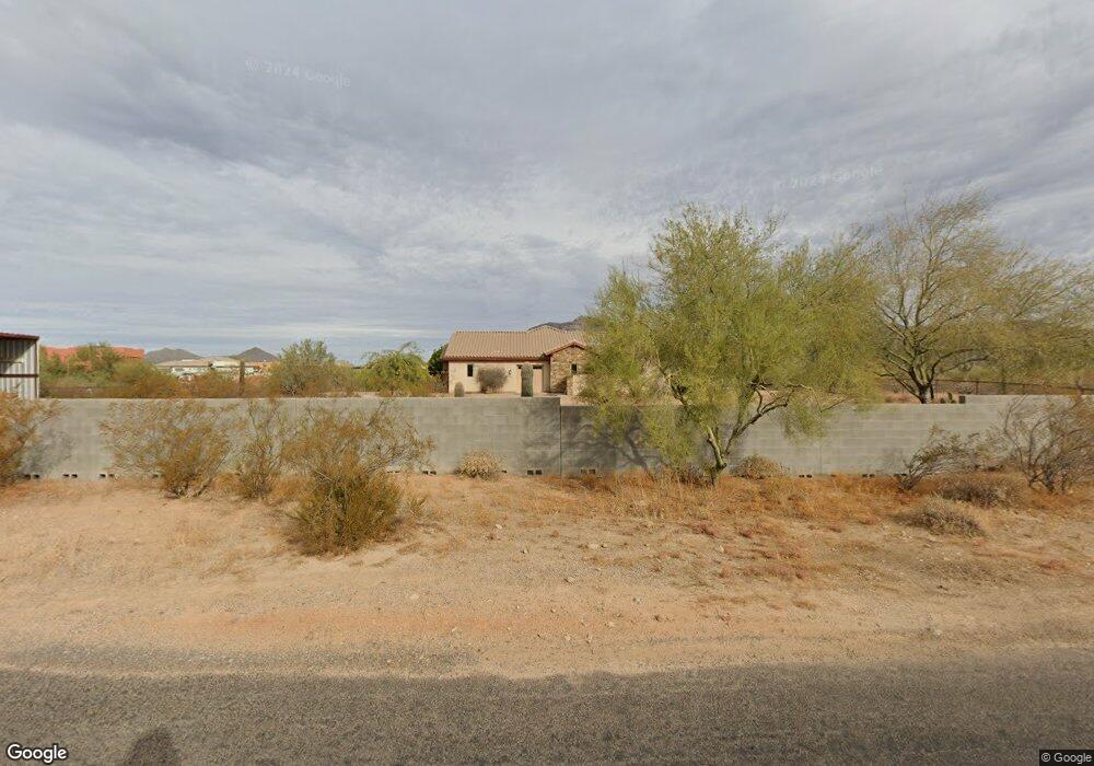
10710 E Mclellan Rd Mesa, AZ 85207
Northeast Mesa NeighborhoodEstimated Value: $1,298,000 - $1,506,000
Studio
--
Bath
3,914
Sq Ft
$354/Sq Ft
Est. Value
About This Home
This home is located at 10710 E Mclellan Rd, Mesa, AZ 85207 and is currently estimated at $1,387,127, approximately $354 per square foot. 10710 E Mclellan Rd is a home with nearby schools including Franklin at Brimhall Elementary School, Zaharis Elementary School, and Franklin West Elementary School.
Ownership History
Date
Name
Owned For
Owner Type
Purchase Details
Closed on
Dec 22, 2010
Sold by
Patrick Dee A
Bought by
Patrick Dee A and Dee A Patrick Survivors Trust
Current Estimated Value
Purchase Details
Closed on
Feb 17, 2010
Sold by
Collins Tommy E and Collins Anita L
Bought by
Patrick Dee A
Purchase Details
Closed on
May 19, 2003
Sold by
Collins Tommy E and Collins Anita L
Bought by
Collins Tommy E and Collins Anita L
Purchase Details
Closed on
Jan 6, 2003
Sold by
Gibson Theodore James
Bought by
Collins Tommy A and Collins Anita L
Purchase Details
Closed on
Aug 27, 1998
Sold by
Scott Daniel L and Scott Blaze T
Bought by
Bourgeois Paul E and Bourgeois Katherina
Home Financials for this Owner
Home Financials are based on the most recent Mortgage that was taken out on this home.
Original Mortgage
$192,000
Interest Rate
6.88%
Mortgage Type
Purchase Money Mortgage
Create a Home Valuation Report for This Property
The Home Valuation Report is an in-depth analysis detailing your home's value as well as a comparison with similar homes in the area
Home Values in the Area
Average Home Value in this Area
Purchase History
| Date | Buyer | Sale Price | Title Company |
|---|---|---|---|
| Patrick Dee A | -- | None Available | |
| Patrick Dee A | $225,000 | Grand Canyon Title Agency In | |
| Collins Tommy E | -- | -- | |
| Collins Tommy A | $162,500 | Security Title Agency | |
| Bourgeois Paul E | $57,500 | Ati Title Company |
Source: Public Records
Mortgage History
| Date | Status | Borrower | Loan Amount |
|---|---|---|---|
| Previous Owner | Bourgeois Paul E | $192,000 |
Source: Public Records
Tax History
| Year | Tax Paid | Tax Assessment Tax Assessment Total Assessment is a certain percentage of the fair market value that is determined by local assessors to be the total taxable value of land and additions on the property. | Land | Improvement |
|---|---|---|---|---|
| 2025 | $5,039 | $65,717 | -- | -- |
| 2024 | $5,992 | $62,587 | -- | -- |
| 2023 | $5,992 | $94,410 | $18,880 | $75,530 |
| 2022 | $5,849 | $81,900 | $16,380 | $65,520 |
| 2021 | $5,835 | $67,560 | $13,510 | $54,050 |
| 2020 | $5,787 | $62,620 | $12,520 | $50,100 |
| 2019 | $4,763 | $63,700 | $12,740 | $50,960 |
| 2018 | $4,629 | $63,100 | $12,620 | $50,480 |
| 2017 | $4,448 | $58,910 | $11,780 | $47,130 |
| 2016 | $4,342 | $61,080 | $12,210 | $48,870 |
Source: Public Records
Map
Nearby Homes
- 0 N 106th Place Unit 6994936
- 10426 Greenway St
- 1911 N 103rd St
- 1105 N 110th St
- 1241 N 102nd St
- 10745 E Evergreen St
- 1104 N Mountain Rd
- 10517 E Evergreen St
- 1721 N Berrett
- 1500 N Crismon Rd
- 833 N 110th St
- 415 N Crismon Rd
- 1735 N Cerise Cir
- 813 N 110th St
- 820 N 111th St
- 9762 E Inglewood Cir
- 564 W Mckellips Blvd
- 9718 E Inglewood Cir
- 9747 E Greenway St
- 9663 E Inglewood Cir
- 1632 N Signal Butte Rd
- 1623 N 106th Way
- 1615 N 106th Way
- 10639 E Mclellan Rd
- 1547 N 107th Place Unit Views
- 1547 N 107th Place
- 0000 N 106th Way Unit A
- 1639 N 106th Way
- 1639 N 106th Way
- 1532 N 107th Place
- 10624 E Mclellan Rd
- 1541 N 107th Place
- 1705 N 106th Way
- 0 N 106th Way Unit 5806610
- 0 N 106th Way Unit 6518011
- 0 N 106th Way Unit 6318945
- 0 N 106 Way Unit K 2963257
- 0 N 106 Way Unit 4026902
- 1630 N 106th Way
- 1630 N 106th Way
Your Personal Tour Guide
Ask me questions while you tour the home.