10711 Belshaw Rd Lowell, IN 46356
West Creek NeighborhoodEstimated Value: $446,000 - $581,000
4
Beds
3
Baths
2,114
Sq Ft
$242/Sq Ft
Est. Value
About This Home
This home is located at 10711 Belshaw Rd, Lowell, IN 46356 and is currently estimated at $510,885, approximately $241 per square foot. 10711 Belshaw Rd is a home located in Lake County with nearby schools including Lowell Middle School and Lowell Senior High School.
Ownership History
Date
Name
Owned For
Owner Type
Purchase Details
Closed on
Jul 25, 2019
Sold by
Cleveland Edward L and Cleveland Christine J
Bought by
Groen Daniel and Groen Marissa
Current Estimated Value
Home Financials for this Owner
Home Financials are based on the most recent Mortgage that was taken out on this home.
Original Mortgage
$300,000
Outstanding Balance
$262,718
Interest Rate
3.8%
Mortgage Type
New Conventional
Estimated Equity
$248,167
Create a Home Valuation Report for This Property
The Home Valuation Report is an in-depth analysis detailing your home's value as well as a comparison with similar homes in the area
Home Values in the Area
Average Home Value in this Area
Purchase History
| Date | Buyer | Sale Price | Title Company |
|---|---|---|---|
| Groen Daniel | -- | Chicago Title Insurance Co |
Source: Public Records
Mortgage History
| Date | Status | Borrower | Loan Amount |
|---|---|---|---|
| Open | Groen Daniel | $300,000 |
Source: Public Records
Tax History Compared to Growth
Tax History
| Year | Tax Paid | Tax Assessment Tax Assessment Total Assessment is a certain percentage of the fair market value that is determined by local assessors to be the total taxable value of land and additions on the property. | Land | Improvement |
|---|---|---|---|---|
| 2024 | $8,207 | $436,100 | $103,800 | $332,300 |
| 2023 | $4,521 | $435,600 | $97,000 | $338,600 |
| 2022 | $4,521 | $435,300 | $97,000 | $338,300 |
| 2021 | $3,021 | $317,800 | $69,000 | $248,800 |
| 2020 | $6,966 | $456,200 | $213,200 | $243,000 |
| 2019 | $2,702 | $285,900 | $61,000 | $224,900 |
| 2018 | $2,644 | $280,300 | $61,000 | $219,300 |
| 2017 | $2,616 | $260,500 | $50,000 | $210,500 |
| 2016 | $2,559 | $262,000 | $50,000 | $212,000 |
| 2014 | $2,609 | $263,400 | $50,000 | $213,400 |
| 2013 | $2,671 | $259,700 | $50,000 | $209,700 |
Source: Public Records
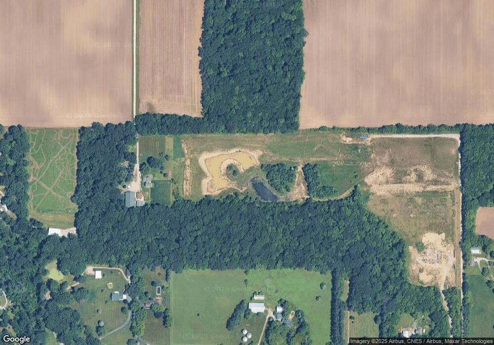
Map
Nearby Homes
- 20508 Wicker Blvd
- 7964 W 205th Ave
- 18883 Oxford Ct
- 16440 Wicker Ave
- 5669 Ruby Rd Unit 356-6
- 18677 Chatham Ln
- 18663 Chatham Ln
- 8817 Graystone Dr
- 8723 Graystone Dr
- 18348 Alexander Ave
- 4310-Lot 18 166th Ln
- 8459 Redmond St
- 18512 Lancer St
- 8530 Middleton Dr
- Wren Plan at Kingston Ridge - Horizon Series
- Townsend Plan at Kingston Ridge - Horizon Series
- Meadowlark Plan at Kingston Ridge - Horizon Series
- Starling Plan at Kingston Ridge - Horizon Series
- Siena II Plan at Kingston Ridge - Horizon Series
- 8572 Graystone Dr
- 10802 W 205th Ave
- 10770 W 205th Ave
- 10810 W 205th Ave
- 10504 W 205th Ave
- 20311 Wicker Blvd
- 20309 Wicker Blvd
- 11048 W 205th Ave
- 20413 Wicker Blvd
- 10609 W 205th Ave
- 10685 Belshaw Rd
- 20409 Wicker Blvd
- 10709 Belshaw Rd
- 11050 W 205th Ave
- 10212 W 205th Ave
- 20108 Wicker Blvd Unit 4
- 20108 Wicker Blvd Unit 2
- 20508 Wicker Ave
- 11206 Belshaw Rd
- 10108 W 205th Ave
- 20510 Wicker Blvd