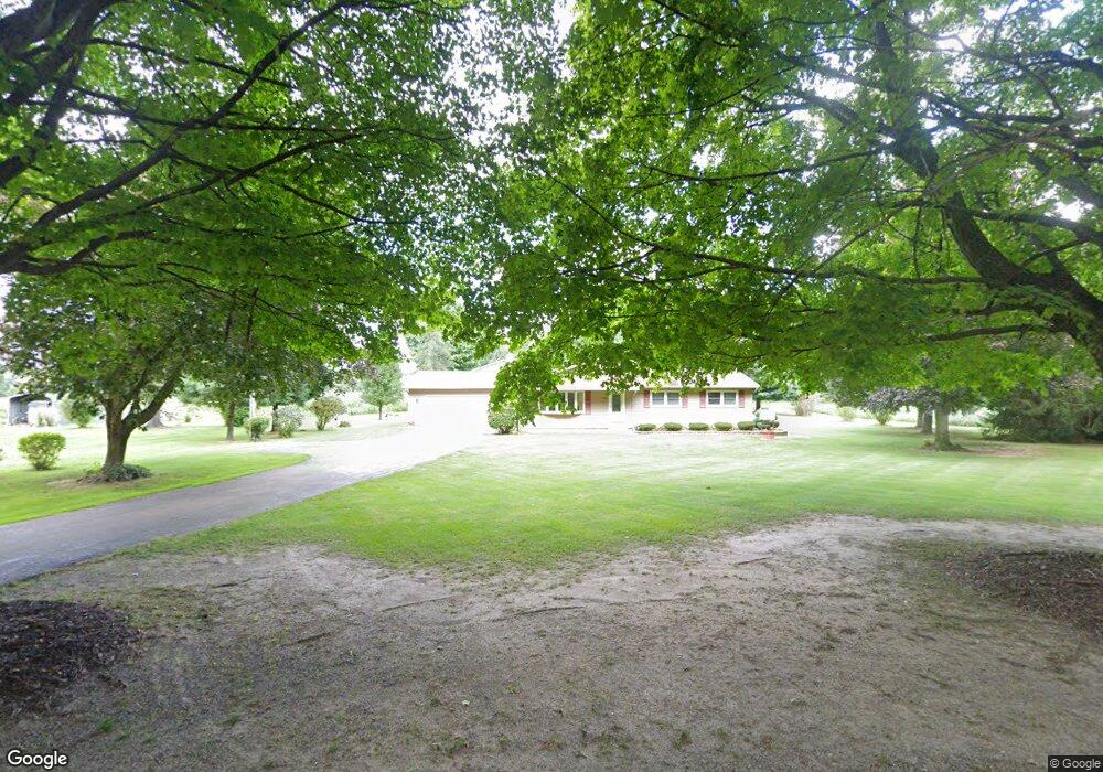
10711 D Dr S Ceresco, MI 49033
Estimated Value: $303,895 - $414,000
3
Beds
2
Baths
1,860
Sq Ft
$187/Sq Ft
Est. Value
About This Home
This home is located at 10711 D Dr S, Ceresco, MI 49033 and is currently estimated at $348,224, approximately $187 per square foot. 10711 D Dr S is a home located in Calhoun County with nearby schools including Harper Creek Middle School and Harper Creek High School.
Ownership History
Date
Name
Owned For
Owner Type
Purchase Details
Closed on
Jan 13, 2020
Sold by
Schragg Michael W
Bought by
Schragg Michael W and The Schragg Family Living Trus
Current Estimated Value
Home Financials for this Owner
Home Financials are based on the most recent Mortgage that was taken out on this home.
Original Mortgage
$89,500
Outstanding Balance
$61,397
Interest Rate
3.73%
Mortgage Type
New Conventional
Estimated Equity
$286,827
Purchase Details
Closed on
Sep 27, 2019
Sold by
Schragg Loratta Sue
Bought by
Schragg Michael W
Purchase Details
Closed on
Apr 23, 2002
Sold by
Beebe Charles J and Beebe Beverly M
Bought by
Schragg Michael W and Schragg Loretta S
Create a Home Valuation Report for This Property
The Home Valuation Report is an in-depth analysis detailing your home's value as well as a comparison with similar homes in the area
Home Values in the Area
Average Home Value in this Area
Purchase History
| Date | Buyer | Sale Price | Title Company |
|---|---|---|---|
| Schragg Michael W | -- | None Available | |
| Schragg Michael W | -- | None Available | |
| Schragg Michael W | $5,000 | -- |
Source: Public Records
Mortgage History
| Date | Status | Borrower | Loan Amount |
|---|---|---|---|
| Open | Schragg Michael W | $89,500 |
Source: Public Records
Tax History Compared to Growth
Tax History
| Year | Tax Paid | Tax Assessment Tax Assessment Total Assessment is a certain percentage of the fair market value that is determined by local assessors to be the total taxable value of land and additions on the property. | Land | Improvement |
|---|---|---|---|---|
| 2025 | $3,972 | $134,200 | $0 | $0 |
| 2024 | $2,542 | $131,300 | $0 | $0 |
| 2023 | $3,196 | $121,100 | $0 | $0 |
| 2022 | $3,196 | $112,500 | $0 | $0 |
| 2021 | $3,178 | $104,700 | $0 | $0 |
| 2020 | $3,124 | $95,800 | $0 | $0 |
| 2019 | $0 | $91,500 | $0 | $0 |
| 2018 | $0 | $89,400 | $13,000 | $76,400 |
| 2017 | $0 | $89,700 | $0 | $0 |
| 2016 | $0 | $89,000 | $0 | $0 |
| 2015 | -- | $88,800 | $18,409 | $70,391 |
| 2014 | -- | $88,300 | $18,409 | $69,891 |
Source: Public Records
Map
Nearby Homes
- 10660 D Dr S
- 10047 11 Mile Rd
- 11445 F Dr S
- 11506 11 Mile Rd
- 8295 D Dr S
- V/L 10 Mile Rd
- 9304 I Dr S
- 6703 Oak Grove Rd
- 275 Battle Creek St
- 12460 Beadle Lake Rd
- 14880 C Dr S
- 11253 Wildwood Dr
- 13028 Harper Crossing
- 1375 Woodland Beach
- 6185 Willow Run Dr
- 14 Blue Stone Ridge
- V/L Cedar Lake
- 11349 6 Mile Rd
- 6660 B Dr N
- 0 15 1 2 Mile Rd Unit 25024661