10715 Ross Rd Topeka, KS 66615
Estimated Value: $343,121 - $405,000
3
Beds
4
Baths
1,996
Sq Ft
$185/Sq Ft
Est. Value
About This Home
This home is located at 10715 Ross Rd, Topeka, KS 66615 and is currently estimated at $368,707, approximately $184 per square foot. 10715 Ross Rd is a home with nearby schools including Rossville Elementary School and Rossville Junior/Senior High School.
Ownership History
Date
Name
Owned For
Owner Type
Purchase Details
Closed on
Dec 20, 2024
Sold by
Hagelgantz Linda L
Bought by
Price Steven D
Current Estimated Value
Home Financials for this Owner
Home Financials are based on the most recent Mortgage that was taken out on this home.
Original Mortgage
$302,850
Outstanding Balance
$293,705
Interest Rate
0.67%
Mortgage Type
Construction
Estimated Equity
$75,002
Purchase Details
Closed on
Jul 1, 2003
Bought by
Hagelgantz Linda L
Home Financials for this Owner
Home Financials are based on the most recent Mortgage that was taken out on this home.
Original Mortgage
$182,750
Interest Rate
5.24%
Mortgage Type
New Conventional
Create a Home Valuation Report for This Property
The Home Valuation Report is an in-depth analysis detailing your home's value as well as a comparison with similar homes in the area
Purchase History
| Date | Buyer | Sale Price | Title Company |
|---|---|---|---|
| Price Steven D | $296,793 | -- | |
| Hagelgantz Linda L | $168,000 | -- |
Source: Public Records
Mortgage History
| Date | Status | Borrower | Loan Amount |
|---|---|---|---|
| Open | Price Steven D | $302,850 | |
| Previous Owner | Hagelgantz Linda L | $182,750 |
Source: Public Records
Tax History
| Year | Tax Paid | Tax Assessment Tax Assessment Total Assessment is a certain percentage of the fair market value that is determined by local assessors to be the total taxable value of land and additions on the property. | Land | Improvement |
|---|---|---|---|---|
| 2025 | $4,508 | $34,730 | $5,082 | $29,648 |
| 2024 | -- | $37,375 | $4,621 | $32,754 |
| 2023 | -- | $35,259 | $4,160 | $31,099 |
| 2022 | -- | $31,481 | $3,927 | $27,554 |
Source: Public Records
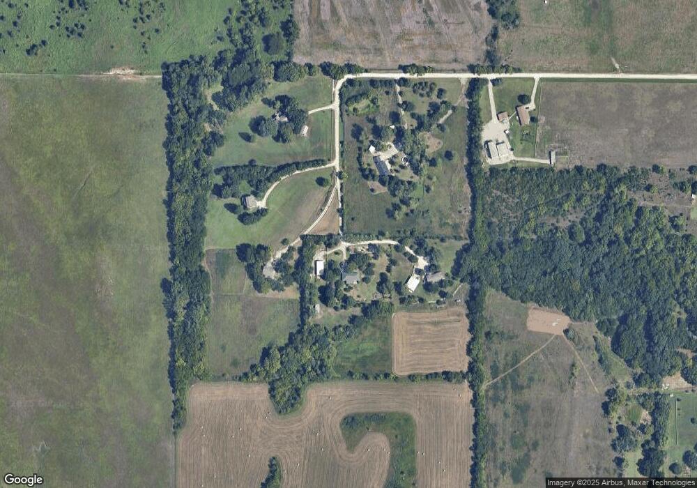
Map
Nearby Homes
- 1526 NW West Union Rd
- 910 NW West Union Rd
- 3544 NW Davis Rd
- 1135 SW West Union Rd
- 611 Pearl St
- 506 Kennys Ct
- 321 W Perry St
- 502 Orange St
- 218 E Perry St
- 0000 SW West Union Rd
- 215 & 219 Main St
- Lot 2, Blk B SW 17th St
- 0000 SW 13th St
- Lot 3, Blk A SW Urish Rd
- 207 Shawnee St
- 413 Madore St
- 4230 NW Valencia Rd
- 308 Chestnut St
- 6530 NW Rossville Rd
- 416 Aquarius St
- 10370 Ross Rd
- 10370 Ross Rd
- 10370d Ross Rd
- 10888 Ross Rd
- 10278 Ross Rd
- 10800 Ross Rd
- 10256 Ross Rd
- 10256 Ross Rd Unit 5626
- 1945 NW Carlson Rd
- 1977 NW Carlson Rd
- 1901 NW Carlson Rd
- 1841 NW Carlson Rd
- 1755 NW Carlson Rd
- 1755 NW Carlson Rd
- 10296 Hilltop Rd
- 1852 NW Carlson Rd
- 1749 NW Carlson Rd
- 1936 NW Carlson Rd
- 1846 NW Carlson Rd
- 1733 NW Carlson Rd
Your Personal Tour Guide
Ask me questions while you tour the home.