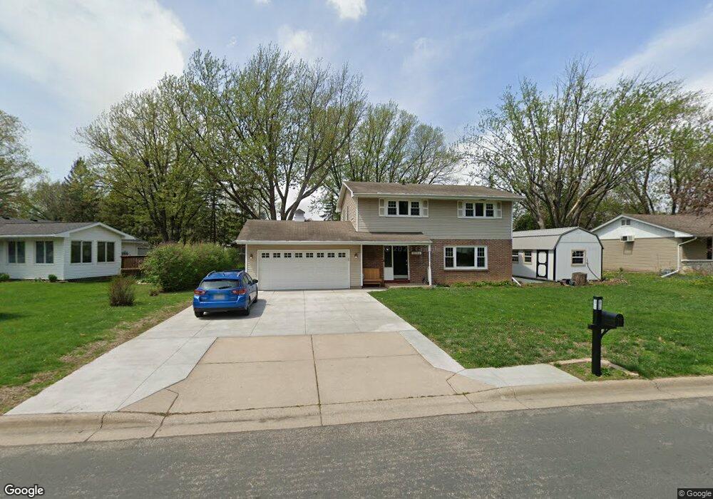
10716 27th Ave S Burnsville, MN 55337
Estimated Value: $420,486 - $429,000
4
Beds
3
Baths
2,143
Sq Ft
$198/Sq Ft
Est. Value
About This Home
This home is located at 10716 27th Ave S, Burnsville, MN 55337 and is currently estimated at $424,872, approximately $198 per square foot. 10716 27th Ave S is a home located in Dakota County with nearby schools including Burnsville High School, Gateway STEM Academy, and Sunrise International Montessori School.
Ownership History
Date
Name
Owned For
Owner Type
Purchase Details
Closed on
Mar 16, 2018
Sold by
Sheehy David Alan and Sheehy Lori L
Bought by
Grant Christopher and Grant Amanda Lael
Current Estimated Value
Home Financials for this Owner
Home Financials are based on the most recent Mortgage that was taken out on this home.
Original Mortgage
$285,000
Outstanding Balance
$243,874
Interest Rate
4.32%
Mortgage Type
New Conventional
Estimated Equity
$180,998
Create a Home Valuation Report for This Property
The Home Valuation Report is an in-depth analysis detailing your home's value as well as a comparison with similar homes in the area
Home Values in the Area
Average Home Value in this Area
Purchase History
| Date | Buyer | Sale Price | Title Company |
|---|---|---|---|
| Grant Christopher | $300,000 | Burnet Title |
Source: Public Records
Mortgage History
| Date | Status | Borrower | Loan Amount |
|---|---|---|---|
| Open | Grant Christopher | $285,000 |
Source: Public Records
Tax History Compared to Growth
Tax History
| Year | Tax Paid | Tax Assessment Tax Assessment Total Assessment is a certain percentage of the fair market value that is determined by local assessors to be the total taxable value of land and additions on the property. | Land | Improvement |
|---|---|---|---|---|
| 2024 | $4,218 | $409,000 | $87,500 | $321,500 |
| 2023 | $4,218 | $399,300 | $87,600 | $311,700 |
| 2022 | $3,414 | $389,100 | $87,400 | $301,700 |
| 2021 | $3,336 | $322,200 | $76,000 | $246,200 |
| 2020 | $3,302 | $300,200 | $69,300 | $230,900 |
| 2019 | $3,132 | $287,600 | $66,000 | $221,600 |
| 2018 | $3,153 | $261,600 | $62,900 | $198,700 |
| 2017 | $3,058 | $255,800 | $59,900 | $195,900 |
| 2016 | $3,158 | $238,200 | $57,100 | $181,100 |
| 2015 | $2,985 | $220,109 | $51,648 | $168,461 |
| 2014 | -- | $216,185 | $50,583 | $165,602 |
| 2013 | -- | $191,551 | $45,447 | $146,104 |
Source: Public Records
Map
Nearby Homes
- 11115 Carver Ct
- 3113 Chandler Ct
- 3108 Foxpoint Cir
- 11017 27th Ave S
- 11036 27th Ave S
- 10934 Southview Dr
- 2001 Woods Ln
- 4165 Old Sibley Hwy
- 11311 W River Hills Dr
- 2177 Cool Stream Cir
- 2007 E 115th St
- 1601 Raleigh Dr
- 11459 Galtier Dr
- 4413 Slater Rd
- 3017 Mcleod St
- 4427 Cinnamon Ridge Cir
- 4425 Cinnamon Ridge Cir
- 4463 Cinnamon Ridge Cir
- 4370 Nicols Rd
- 10325 10th Avenue Cir S
- 10712 27th Ave S
- 2604 Hayes Dr
- 10711 Prescott Ct
- 2600 Hayes Dr
- 10715 27th Ave S
- 10708 27th Ave S
- 10707 Prescott Ct
- 10719 27th Ave S
- 10711 27th Ave S
- 10723 27th Ave S
- 2609 Hayes Dr
- 2605 Hayes Dr
- 10707 27th Ave S
- 10704 27th Ave S
- 2613 Hayes Dr
- 10703 Prescott Ct
- 10804 Chatham Ct N
- 10801 27th Ave S
- 2601 Hayes Dr
- 2512 Hayes Dr