1072 110th St Wayland, IA 52654
Estimated Value: $91,622 - $166,000
1
Bed
1
Bath
1,224
Sq Ft
$101/Sq Ft
Est. Value
About This Home
This home is located at 1072 110th St, Wayland, IA 52654 and is currently estimated at $123,541, approximately $100 per square foot. 1072 110th St is a home located in Henry County with nearby schools including WACO Elementary School and WACO High School.
Ownership History
Date
Name
Owned For
Owner Type
Purchase Details
Closed on
Sep 15, 2025
Sold by
Hartzler Kelly J
Bought by
Sinn Gregory S and Sinn Kurtis K
Current Estimated Value
Purchase Details
Closed on
Sep 29, 2009
Sold by
Patton Robert and Patton Lynda J
Bought by
Allred Michael Jay
Home Financials for this Owner
Home Financials are based on the most recent Mortgage that was taken out on this home.
Original Mortgage
$7,500
Interest Rate
5.1%
Mortgage Type
Stand Alone Second
Create a Home Valuation Report for This Property
The Home Valuation Report is an in-depth analysis detailing your home's value as well as a comparison with similar homes in the area
Home Values in the Area
Average Home Value in this Area
Purchase History
| Date | Buyer | Sale Price | Title Company |
|---|---|---|---|
| Sinn Gregory S | -- | None Listed On Document | |
| Allred Michael Jay | $50,000 | None Available |
Source: Public Records
Mortgage History
| Date | Status | Borrower | Loan Amount |
|---|---|---|---|
| Previous Owner | Allred Michael Jay | $7,500 |
Source: Public Records
Tax History Compared to Growth
Tax History
| Year | Tax Paid | Tax Assessment Tax Assessment Total Assessment is a certain percentage of the fair market value that is determined by local assessors to be the total taxable value of land and additions on the property. | Land | Improvement |
|---|---|---|---|---|
| 2025 | $1,006 | $83,190 | $15,900 | $67,290 |
| 2024 | $950 | $75,160 | $15,900 | $59,260 |
| 2023 | $972 | $75,160 | $15,900 | $59,260 |
| 2022 | $948 | $64,190 | $15,900 | $48,290 |
| 2021 | $948 | $64,190 | $15,900 | $48,290 |
| 2020 | $936 | $61,180 | $15,900 | $45,280 |
| 2019 | $884 | $61,390 | $0 | $0 |
| 2018 | $844 | $61,390 | $0 | $0 |
| 2017 | $844 | $57,250 | $0 | $0 |
| 2016 | $808 | $57,250 | $0 | $0 |
| 2015 | $808 | $56,110 | $0 | $0 |
| 2014 | -- | $56,110 | $0 | $0 |
Source: Public Records
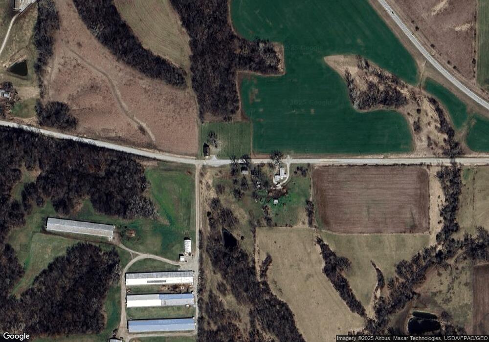
Map
Nearby Homes
- 1083 Benton Ave
- 204 W 3rd St
- 402 E Railroad St
- 408 E Front St
- 1320 Clayton Ave
- Tbd 320th St
- TBD 320th St
- 2604 330th St
- 1326 150th St
- 117 E Washington St
- 410 S Mechanic St
- 408 S Mechanic St
- 113 W Washington St
- 0 Iowa Ave
- 1750 140th St
- 3327 Terrace Lake Rd
- 3329 Terrace Lake Rd
- TBD 185th St
- 185th St
- 1239 Pleasant Plain Rd
- 1068 110th St
- 1096 Ash Ave
- 1084 Ash Ave
- 1070 Highway 78
- 1099 Ash Ave
- 1083 Ash Ave
- 1118 Highway 78
- 1062 Ash Ave
- 1132 Highway 78
- 0 Hwy 78 Unit 202204753
- 1050 Ash Ave
- 1153 Highway 78
- 1190 Ash Ave
- 1035 Ash Ave
- 0 Coppock Rd Unit 28004822
- 0 Coppock Rd Unit 28004821
- 0 Coppock Rd Unit 5427168
- 0 Coppock Rd Unit 5427169
- 1023 Ash Ave
- 1171 Highway 78