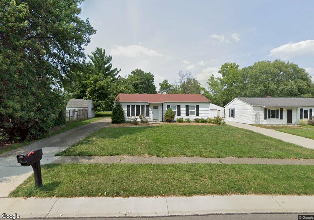
1072 Garnoa Dr Cincinnati, OH 45231
Winton Lake NeighborhoodEstimated Value: $134,390 - $185,000
3
Beds
1
Bath
1,025
Sq Ft
$155/Sq Ft
Est. Value
About This Home
This home is located at 1072 Garnoa Dr, Cincinnati, OH 45231 and is currently estimated at $158,598, approximately $154 per square foot. 1072 Garnoa Dr is a home located in Hamilton County with nearby schools including John Paul II Catholic School.
Ownership History
Date
Name
Owned For
Owner Type
Purchase Details
Closed on
Feb 1, 2023
Sold by
Miller Loretta England
Bought by
Fishwick Anthony Lee
Current Estimated Value
Home Financials for this Owner
Home Financials are based on the most recent Mortgage that was taken out on this home.
Original Mortgage
$78,551
Outstanding Balance
$75,708
Interest Rate
6.27%
Mortgage Type
FHA
Estimated Equity
$82,890
Create a Home Valuation Report for This Property
The Home Valuation Report is an in-depth analysis detailing your home's value as well as a comparison with similar homes in the area
Home Values in the Area
Average Home Value in this Area
Purchase History
| Date | Buyer | Sale Price | Title Company |
|---|---|---|---|
| Fishwick Anthony Lee | $80,000 | -- |
Source: Public Records
Mortgage History
| Date | Status | Borrower | Loan Amount |
|---|---|---|---|
| Open | Fishwick Anthony Lee | $78,551 |
Source: Public Records
Tax History
| Year | Tax Paid | Tax Assessment Tax Assessment Total Assessment is a certain percentage of the fair market value that is determined by local assessors to be the total taxable value of land and additions on the property. | Land | Improvement |
|---|---|---|---|---|
| 2025 | $2,657 | $38,441 | $10,462 | $27,979 |
| 2024 | $2,536 | $38,441 | $10,462 | $27,979 |
| 2023 | $1,850 | $38,441 | $10,462 | $27,979 |
| 2022 | $1,470 | $26,170 | $8,313 | $17,857 |
| 2021 | $1,423 | $26,170 | $8,313 | $17,857 |
| 2020 | $1,460 | $26,170 | $8,313 | $17,857 |
| 2019 | $1,219 | $22,180 | $7,046 | $15,134 |
| 2018 | $1,222 | $22,180 | $7,046 | $15,134 |
| 2017 | $1,168 | $22,180 | $7,046 | $15,134 |
| 2016 | $1,057 | $20,755 | $6,965 | $13,790 |
| 2015 | $995 | $20,755 | $6,965 | $13,790 |
| 2014 | $993 | $20,755 | $6,965 | $13,790 |
| 2013 | $1,208 | $23,857 | $8,005 | $15,852 |
Source: Public Records
Map
Nearby Homes
- 906 Garnoa Dr
- 9367 Stoneybrooke Unit 10G
- 9305 Bridgecreek Dr Unit 14A
- 8491 Daly Rd
- 10022 Lakeside Dr
- 1283 Bellune Dr
- 9315 Winton Rd
- 9319 Winton Rd
- 1115 Compton Rd
- 1123 Compton Rd
- 1405 Meredith Dr
- 8990 Mockingbird Ln
- 9811 Beau Ln
- 9606 Millbrook Dr
- 9959 Mckelvey Rd
- 1101 Meadowind Ct
- 1478 Bonneville Ln
- 7918 Southampton Ct
- 8829 Mockingbird Ln
- 7849 Seward Ave
- 1068 Garnoa Dr
- 1064 Garnoa Dr
- 9682 Northfield Ln
- 1062 Garnoa Dr
- 1069 Garnoa Dr
- 1049 Sunwood Ct
- 1056 Garnoa Dr
- 9704 Northfield Ln
- 1075 Garnoa Dr
- 9716 Northfield Ln
- 1083 Garnoa Dr
- 9698 Fernbrook Ct
- 1053 Sunwood Ct
- 1050 Garnoa Dr
- 1045 Sunwood Ct
- 1089 Garnoa Dr
- 9726 Northfield Ln
- 1053 Garnoa Dr
- 1056 Sunwood Ct
- 1041 Sunwood Ct
Your Personal Tour Guide
Ask me questions while you tour the home.