1072 Keystone Dr Little Rock, AR 72210
Estimated Value: $583,000 - $698,000
--
Bed
--
Bath
3,131
Sq Ft
$212/Sq Ft
Est. Value
About This Home
This home is located at 1072 Keystone Dr, Little Rock, AR 72210 and is currently estimated at $662,371, approximately $211 per square foot. 1072 Keystone Dr is a home with nearby schools including Chenal Elementary School, Joe T. Robinson Middle School, and Joe T. Robinson High School.
Ownership History
Date
Name
Owned For
Owner Type
Purchase Details
Closed on
Nov 21, 2018
Sold by
Chapman Jarrett and Chapman Angela
Bought by
Loy Blake and Loy Ashley
Current Estimated Value
Purchase Details
Closed on
Sep 30, 2016
Sold by
Central Arkansas Land Development Llc
Bought by
Chapman Jarrett and Chapman Angela
Home Financials for this Owner
Home Financials are based on the most recent Mortgage that was taken out on this home.
Original Mortgage
$67,420
Interest Rate
3.46%
Mortgage Type
Commercial
Create a Home Valuation Report for This Property
The Home Valuation Report is an in-depth analysis detailing your home's value as well as a comparison with similar homes in the area
Home Values in the Area
Average Home Value in this Area
Purchase History
| Date | Buyer | Sale Price | Title Company |
|---|---|---|---|
| Loy Blake | $87,000 | None Available | |
| Chapman Jarrett | $77,420 | None Available |
Source: Public Records
Mortgage History
| Date | Status | Borrower | Loan Amount |
|---|---|---|---|
| Previous Owner | Chapman Jarrett | $67,420 |
Source: Public Records
Tax History Compared to Growth
Tax History
| Year | Tax Paid | Tax Assessment Tax Assessment Total Assessment is a certain percentage of the fair market value that is determined by local assessors to be the total taxable value of land and additions on the property. | Land | Improvement |
|---|---|---|---|---|
| 2025 | $5,759 | $114,267 | $23,760 | $90,507 |
| 2024 | $5,759 | $114,267 | $23,760 | $90,507 |
| 2023 | $6,694 | $114,267 | $23,760 | $90,507 |
| 2022 | $6,699 | $114,267 | $23,760 | $90,507 |
| 2021 | $2,202 | $17,600 | $17,600 | $0 |
| 2020 | $2,202 | $17,600 | $17,600 | $0 |
| 2019 | $2,202 | $17,600 | $17,600 | $0 |
| 2018 | $2,202 | $17,600 | $17,600 | $0 |
| 2017 | $2,202 | $17,600 | $17,600 | $0 |
Source: Public Records
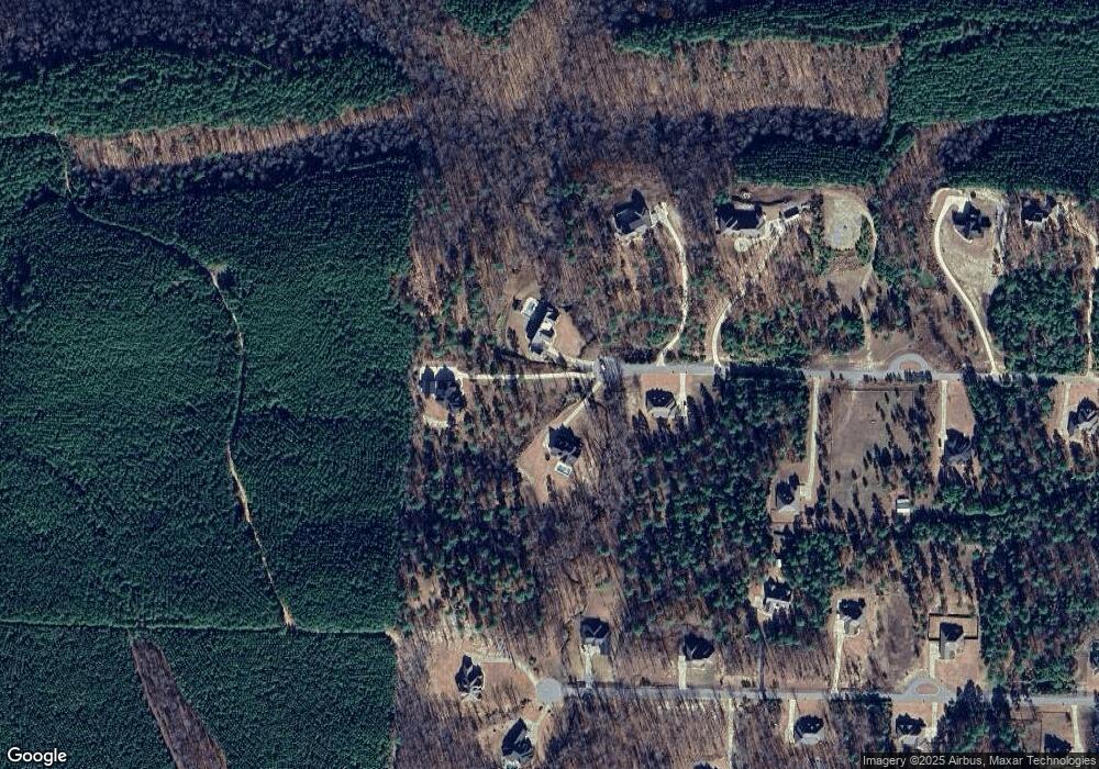
Map
Nearby Homes
- 2056 Gunnison Dr
- 1703 Crested Butte Cir
- 000 W Colonel Glenn Rd
- Lot 34 & 35 Brushmountain Trail
- 12433 Raindrop Ln
- 28721 Kanis Rd
- 20377 Congo Ferndale Rd
- 6111 Crestwood Ln
- 225 Red Hawk Cir
- 4.06 acres N Lake Norrell Dr
- 39 Golden Eagle Dr
- 0 Serenity Dr
- 2110 Brush Mountain Trail
- 4300 Deer Dr
- Lot 7,8,9 Turkey Trail
- 00 Brush Mountain Trail
- 0 Bandy Road South W Unit 22020705
- 6407 Whipporwill Dr
- 6408 Whipporwill Dr
- 0 Bandy South E Unit 22022758
- 1064 Keystone Dr
- 1315 Westcliffe Dr
- 1071 Keystone Dr
- 1323 Westcliffe Dr
- 1307 Westcliffe Dr
- 1063 Keystone Dr
- 1056 Keystone Dr
- 1299 Westcliffe Dr
- 2088 Gunnison Dr
- 1055 Keystone Dr
- 1316 Westcliffe Dr
- 2080 Gunnison Dr
- 1076 Keystone Dr
- 1048 Keystone Dr
- 1308 Westcliffe Dr
- 2096 Gunnison Dr
- 1039 Keystone Rd
- 2072 Gunnison Dr
- 1040 Keystone Rd
- 1040 Keystone Dr