Estimated Value: $600,000 - $658,112
3
Beds
1
Bath
1,805
Sq Ft
$349/Sq Ft
Est. Value
About This Home
This home is located at 1072 N 575 E, Firth, ID 83236 and is currently estimated at $629,778, approximately $348 per square foot. 1072 N 575 E is a home with nearby schools including Firth Middle School and Firth High School.
Ownership History
Date
Name
Owned For
Owner Type
Purchase Details
Closed on
Oct 9, 2012
Sold by
Lambert Steve
Bought by
Lambert Steve
Current Estimated Value
Home Financials for this Owner
Home Financials are based on the most recent Mortgage that was taken out on this home.
Original Mortgage
$160,000
Interest Rate
3.52%
Mortgage Type
Future Advance Clause Open End Mortgage
Purchase Details
Closed on
Jun 28, 2006
Sold by
Lambert Steve and Lambert Elena
Bought by
Lambert Steve
Home Financials for this Owner
Home Financials are based on the most recent Mortgage that was taken out on this home.
Original Mortgage
$29,733
Interest Rate
6.63%
Mortgage Type
Purchase Money Mortgage
Create a Home Valuation Report for This Property
The Home Valuation Report is an in-depth analysis detailing your home's value as well as a comparison with similar homes in the area
Home Values in the Area
Average Home Value in this Area
Purchase History
| Date | Buyer | Sale Price | Title Company |
|---|---|---|---|
| Lambert Steve | -- | First American Title | |
| Lambert Steve | -- | -- |
Source: Public Records
Mortgage History
| Date | Status | Borrower | Loan Amount |
|---|---|---|---|
| Closed | Lambert Steve | $160,000 | |
| Closed | Lambert Steve | $29,733 |
Source: Public Records
Tax History Compared to Growth
Tax History
| Year | Tax Paid | Tax Assessment Tax Assessment Total Assessment is a certain percentage of the fair market value that is determined by local assessors to be the total taxable value of land and additions on the property. | Land | Improvement |
|---|---|---|---|---|
| 2025 | $1,333 | $460,002 | $70,000 | $390,002 |
| 2024 | $1,333 | $445,423 | $55,000 | $390,423 |
| 2023 | $1,892 | $445,423 | $55,000 | $390,423 |
| 2022 | $3,089 | $445,423 | $55,000 | $390,423 |
| 2021 | $1,606 | $304,338 | $47,000 | $257,338 |
| 2020 | $1,682 | $289,338 | $0 | $0 |
| 2019 | $1,876 | $289,338 | $0 | $0 |
| 2018 | $1,442 | $233,638 | $35,205 | $198,433 |
| 2017 | $1,278 | $226,638 | $28,205 | $198,433 |
| 2016 | $1,290 | $226,638 | $0 | $0 |
| 2015 | $1,417 | $226,638 | $0 | $0 |
| 2014 | $1,417 | $226,638 | $28,205 | $198,433 |
Source: Public Records
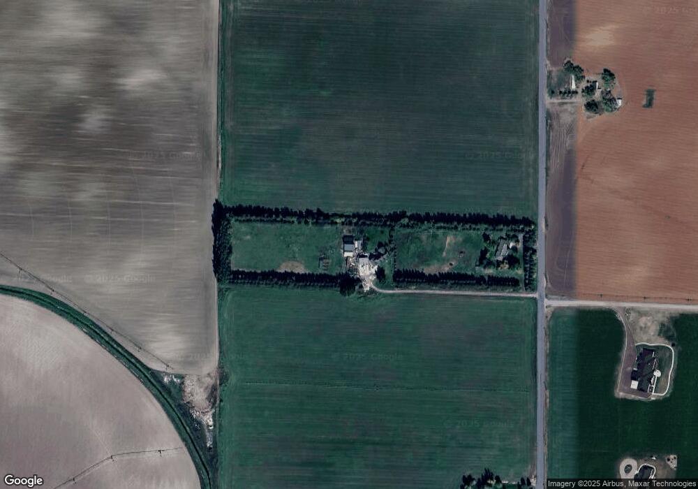
Map
Nearby Homes
- 549 E 1200 N
- 545 E 1250 N
- 538 E 1250 N
- TBD 1200 N
- 697 835 N
- 498 E River Rd
- 806 N 650 E
- 757 E 1200 N
- 817 N 685 E
- L6 B6 E Meadow Walk Dr
- L5 B6 E Meadow Walk Dr
- L7 B6 E Meadow Walk Dr
- 631 Holley St
- L1 B6 E Meadow Mist Ave
- L11 B4 E Meadow Mist Ave
- 285 Moonlight Dr
- 125 Washington St
- Kensington Plan at Sunset Vista
- Canyon Plan at Sunset Vista
- Brantwood Plan at Sunset Vista