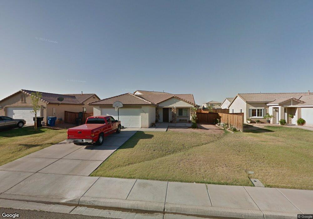
1072 Paseo Del Ocaso Calexico, CA 92231
Estimated Value: $396,000 - $457,000
3
Beds
2
Baths
1,285
Sq Ft
$325/Sq Ft
Est. Value
About This Home
This home is located at 1072 Paseo Del Ocaso, Calexico, CA 92231 and is currently estimated at $417,367, approximately $324 per square foot. 1072 Paseo Del Ocaso is a home located in Imperial County with nearby schools including Kennedy Gardens Elementary School, William Moreno Junior High School, and Calexico High School.
Ownership History
Date
Name
Owned For
Owner Type
Purchase Details
Closed on
Jul 1, 2010
Sold by
Donell James H and Chinatrust Bank Usa
Bought by
Morando Humberto R and Morando Socorro A
Current Estimated Value
Home Financials for this Owner
Home Financials are based on the most recent Mortgage that was taken out on this home.
Original Mortgage
$140,900
Outstanding Balance
$98,321
Interest Rate
5.75%
Mortgage Type
FHA
Estimated Equity
$319,046
Create a Home Valuation Report for This Property
The Home Valuation Report is an in-depth analysis detailing your home's value as well as a comparison with similar homes in the area
Home Values in the Area
Average Home Value in this Area
Purchase History
| Date | Buyer | Sale Price | Title Company |
|---|---|---|---|
| Morando Humberto R | $143,500 | North American Title Co |
Source: Public Records
Mortgage History
| Date | Status | Borrower | Loan Amount |
|---|---|---|---|
| Open | Morando Humberto R | $140,900 |
Source: Public Records
Tax History Compared to Growth
Tax History
| Year | Tax Paid | Tax Assessment Tax Assessment Total Assessment is a certain percentage of the fair market value that is determined by local assessors to be the total taxable value of land and additions on the property. | Land | Improvement |
|---|---|---|---|---|
| 2025 | $4,084 | $183,836 | $51,240 | $132,596 |
| 2023 | $4,084 | $176,700 | $49,251 | $127,449 |
| 2022 | $4,622 | $173,236 | $48,286 | $124,950 |
| 2021 | $4,525 | $169,840 | $47,340 | $122,500 |
| 2020 | $4,437 | $168,099 | $46,855 | $121,244 |
| 2019 | $4,323 | $164,804 | $45,937 | $118,867 |
| 2018 | $4,291 | $161,574 | $45,037 | $116,537 |
| 2017 | $4,150 | $158,406 | $44,154 | $114,252 |
| 2016 | $4,067 | $155,301 | $43,289 | $112,012 |
| 2015 | $4,046 | $152,969 | $42,639 | $110,330 |
| 2014 | $3,628 | $116,190 | $30,000 | $86,190 |
Source: Public Records
Map
Nearby Homes
- 1000 E Cole Rd
- 0 E Cole Rd Unit Lot 1 250029524
- 2117 Descanso Dr
- 2186 G Woo Ave
- 1336 Albright St
- 950 Santa Ana St
- 1900 Rancho Frontera Ave Unit H59
- 952 Alameda St
- 1268 Topaz Ct
- 1252 Fiesta Ave
- 105 John Kennedy St
- 1245 C N Perry Rd
- 0 Avenida de Oro
- 101 Vernardo Dr Unit 71
- 839 E Cole Blvd
- 711 N Preston Dr
- 1119 Imperial Ave W
- 0 California 98
- 900 Paseo de Alteza St
- 1 Towncenter Blvd & Sunset Blvd Blvd
- 1068 Paseo Del Ocaso
- 1076 Paseo Del Ocaso
- 1073 Via Barranca
- 1064 Paseo Del Ocaso
- 1069 Via Barranca
- 2600 Vaho
- 1077 Via Barranca
- 1060 Paseo Del Ocaso
- 2601 Vaho
- 1065 Via Barranca
- 2604 Vaho Station
- 1056 Paseo Del Ocaso
- 1061 Via Barranca
- 3007 Vaho Station
- 1080 Via Barranca
- 3007 Vajo Station
- 1053 Paseo Del Ocaso
- 2608 Vaho Station
- 1072 Via Barranca
- 1076 Via Barranca