1072 St Andrews Dr Whitmore Lake, MI 48189
Estimated Value: $353,279 - $389,000
3
Beds
3
Baths
1,633
Sq Ft
$225/Sq Ft
Est. Value
About This Home
This home is located at 1072 St Andrews Dr, Whitmore Lake, MI 48189 and is currently estimated at $368,070, approximately $225 per square foot. 1072 St Andrews Dr is a home located in Washtenaw County with nearby schools including Salem Elementary School, Millennium Middle School, and South Lyon East High School.
Ownership History
Date
Name
Owned For
Owner Type
Purchase Details
Closed on
Jun 11, 2015
Sold by
Snell Christine
Bought by
Austin William J and Austin Stacey L
Current Estimated Value
Home Financials for this Owner
Home Financials are based on the most recent Mortgage that was taken out on this home.
Original Mortgage
$168,000
Outstanding Balance
$130,445
Interest Rate
3.82%
Estimated Equity
$237,625
Create a Home Valuation Report for This Property
The Home Valuation Report is an in-depth analysis detailing your home's value as well as a comparison with similar homes in the area
Home Values in the Area
Average Home Value in this Area
Purchase History
| Date | Buyer | Sale Price | Title Company |
|---|---|---|---|
| Austin William J | $210,000 | None Available |
Source: Public Records
Mortgage History
| Date | Status | Borrower | Loan Amount |
|---|---|---|---|
| Open | Austin William J | $168,000 |
Source: Public Records
Tax History Compared to Growth
Tax History
| Year | Tax Paid | Tax Assessment Tax Assessment Total Assessment is a certain percentage of the fair market value that is determined by local assessors to be the total taxable value of land and additions on the property. | Land | Improvement |
|---|---|---|---|---|
| 2025 | $2,696 | $139,700 | $0 | $0 |
| 2024 | $2,620 | $138,800 | $0 | $0 |
| 2023 | $2,497 | $121,200 | $0 | $0 |
| 2022 | $3,610 | $108,300 | $0 | $0 |
| 2021 | $3,535 | $103,600 | $0 | $0 |
| 2020 | $3,525 | $103,300 | $0 | $0 |
| 2019 | $3,542 | $100,500 | $100,500 | $0 |
| 2018 | $3,573 | $104,100 | $0 | $0 |
| 2017 | $3,526 | $102,900 | $0 | $0 |
| 2016 | $2,465 | $97,500 | $0 | $0 |
| 2015 | -- | $77,388 | $0 | $0 |
| 2014 | -- | $74,980 | $0 | $0 |
| 2013 | -- | $74,980 | $0 | $0 |
Source: Public Records
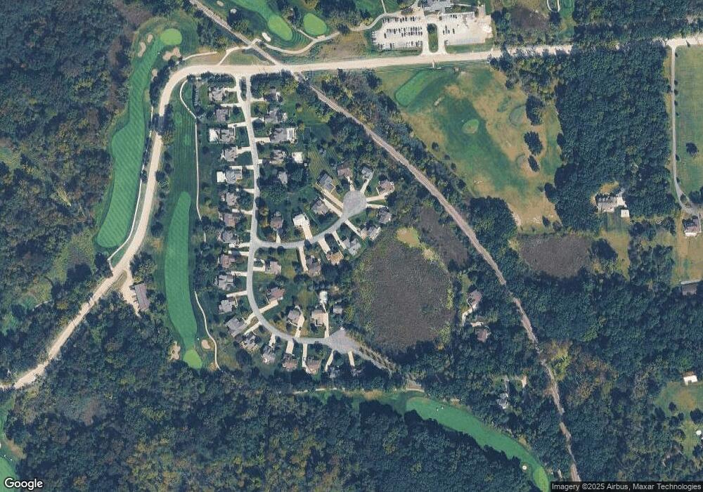
Map
Nearby Homes
- 0 Six Mile Unit 25038336
- 0 Six Mile Unit 20251054704
- 0 Six Mile Unit 20251006647
- 9031 Posey Dr
- 34 Spencer Rd
- Lot 968, 913 & 25 ft Ideal Place
- Lot 915 and Lot 916 Ideal Place
- 8962 Sunflower Unit 49
- 9510 Main St
- 66 Six Mile Rd
- 9119 Garfield Dr
- 371 E Shore Dr
- 66 E Shore Dr
- 8655 Buckland Dr
- 0 Jennings Rd Unit 25041037
- 000 Jennings Rd
- 00 Jennings Rd
- 0000 N Territorial Rd
- 9509 Main St
- 362 Jubilee Dr
- 1072 Saint Andrews Ct
- 1080 St Andrews Ct
- 1064 St Andrews Dr
- 1080 St Andrews Dr Unit 31
- 1090 St Andrews Dr
- 1090 Saint Andrews Ct
- 1056 St Andrews Dr
- 7836 Turnberry Dr
- 1059 St Andrews Dr
- 1053 St Andrews Dr
- 7850 Turnberry Dr
- 1100 St Andrews Dr
- 7924 Turnberry Dr
- 1081 Saint Andrews Ct
- 1067 St Andrews Dr
- 1081 St Andrews Dr Unit 34
- 7864 Turnberry Dr
- 1045 St Andrews Dr
- 7910 Turnberry Dr
- 1075 St Andrews Dr Unit 35