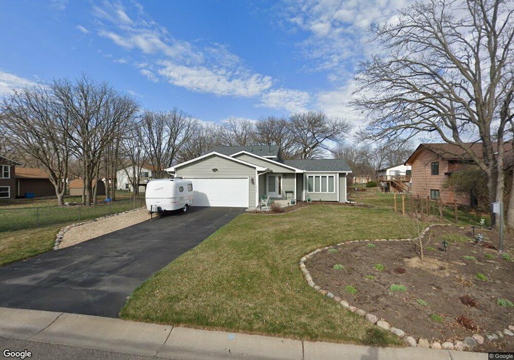
10720 Butternut Cir NW Coon Rapids, MN 55448
Estimated Value: $348,747 - $393,000
3
Beds
2
Baths
1,195
Sq Ft
$304/Sq Ft
Est. Value
About This Home
This home is located at 10720 Butternut Cir NW, Coon Rapids, MN 55448 and is currently estimated at $363,187, approximately $303 per square foot. 10720 Butternut Cir NW is a home located in Anoka County with nearby schools including Lucile Bruner Elementary School, Eisenhower Elementary School, and Laughlin Junior/Senior High School.
Ownership History
Date
Name
Owned For
Owner Type
Purchase Details
Closed on
Nov 29, 2006
Sold by
Niznik Marjorie L and Niznik Michael T
Bought by
Leitschuh Roger J
Current Estimated Value
Home Financials for this Owner
Home Financials are based on the most recent Mortgage that was taken out on this home.
Original Mortgage
$167,000
Outstanding Balance
$99,956
Interest Rate
6.33%
Mortgage Type
New Conventional
Estimated Equity
$263,231
Create a Home Valuation Report for This Property
The Home Valuation Report is an in-depth analysis detailing your home's value as well as a comparison with similar homes in the area
Home Values in the Area
Average Home Value in this Area
Purchase History
| Date | Buyer | Sale Price | Title Company |
|---|---|---|---|
| Leitschuh Roger J | $230,000 | -- |
Source: Public Records
Mortgage History
| Date | Status | Borrower | Loan Amount |
|---|---|---|---|
| Open | Leitschuh Roger J | $167,000 |
Source: Public Records
Tax History Compared to Growth
Tax History
| Year | Tax Paid | Tax Assessment Tax Assessment Total Assessment is a certain percentage of the fair market value that is determined by local assessors to be the total taxable value of land and additions on the property. | Land | Improvement |
|---|---|---|---|---|
| 2025 | $3,399 | $317,800 | $84,000 | $233,800 |
| 2024 | $3,399 | $326,800 | $94,500 | $232,300 |
| 2023 | $3,003 | $315,800 | $78,800 | $237,000 |
| 2022 | $2,741 | $309,400 | $73,500 | $235,900 |
| 2021 | $2,659 | $254,100 | $64,100 | $190,000 |
| 2020 | $2,639 | $241,800 | $65,100 | $176,700 |
| 2019 | $2,497 | $230,900 | $60,000 | $170,900 |
| 2018 | $2,330 | $213,700 | $0 | $0 |
| 2017 | $2,042 | $195,400 | $0 | $0 |
| 2016 | $2,123 | $174,100 | $0 | $0 |
| 2015 | -- | $174,100 | $48,000 | $126,100 |
| 2014 | -- | $158,200 | $47,500 | $110,700 |
Source: Public Records
Map
Nearby Homes
- 122 106th Ave NW
- 251 109th Ln NW
- 341 109th Ave NW
- 150 104th Ln NW
- 228 104th Ln NW
- 10728 Ilex St NW
- 424 106th Ave NW
- 10931 7th St NE
- 11044 5th St NE
- 10419 Goldenrod St NW
- 22 111th Ln NE Unit 26
- 10647 Washington Blvd NE
- 11167 3rd St NE Unit 102
- 11156 5th St NE Unit 60
- 11164 4th St NE Unit 88
- 11200 3rd St NE Unit 13
- 11163 4th St NE Unit 71
- 110 111th Square NE Unit 140
- 361 Territorial Rd NE
- 11204 5th St NE Unit 55
- 10730 Butternut Cir NW
- 91 Egret Blvd NW
- 101 Egret Blvd NW
- 120 107th Ln NW
- 132 107th Ln NW
- 111 Egret Blvd NW
- 10740 Butternut St NW
- 131 107th Ln NW
- 144 107th Ln NW
- 121 Egret Blvd NW
- 10750 Butternut St NW
- 10745 Butternut Cir NW
- 10750 Butternut Cir NW
- 62 Egret Blvd NW
- 100 Egret Blvd NW
- 143 107th Ln NW
- 106 Egret Blvd NW
- 156 107th Ln NW
- 56 Egret Blvd NW
- 131 Egret Blvd NW