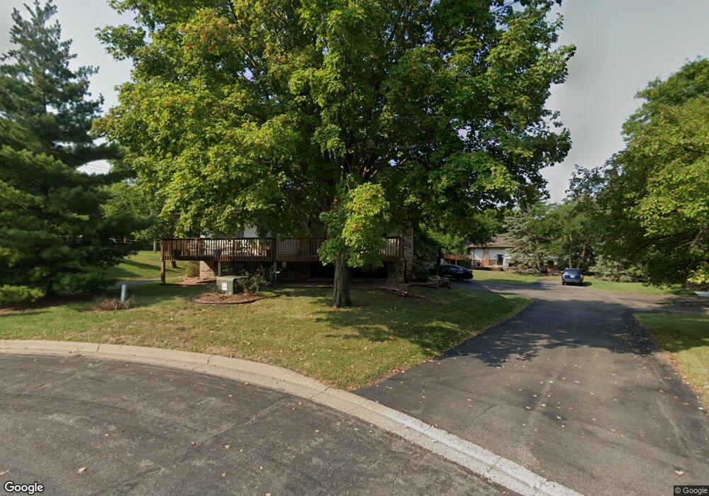
10720 Zinran Cir S Bloomington, MN 55438
West Bloomington NeighborhoodEstimated Value: $242,000 - $264,000
2
Beds
2
Baths
922
Sq Ft
$274/Sq Ft
Est. Value
About This Home
This home is located at 10720 Zinran Cir S, Bloomington, MN 55438 and is currently estimated at $252,539, approximately $273 per square foot. 10720 Zinran Cir S is a home located in Hennepin County with nearby schools including Normandale Hills Elementary School, Olson Middle School, and Jefferson Senior High School.
Ownership History
Date
Name
Owned For
Owner Type
Purchase Details
Closed on
Aug 28, 2018
Sold by
Sticha Mary and Estate Of Yvonne C Bublitz
Bought by
Kegler Alice
Current Estimated Value
Home Financials for this Owner
Home Financials are based on the most recent Mortgage that was taken out on this home.
Original Mortgage
$185,576
Interest Rate
5.12%
Mortgage Type
FHA
Create a Home Valuation Report for This Property
The Home Valuation Report is an in-depth analysis detailing your home's value as well as a comparison with similar homes in the area
Home Values in the Area
Average Home Value in this Area
Purchase History
| Date | Buyer | Sale Price | Title Company |
|---|---|---|---|
| Kegler Alice | $189,000 | None Available |
Source: Public Records
Mortgage History
| Date | Status | Borrower | Loan Amount |
|---|---|---|---|
| Previous Owner | Kegler Alice | $185,576 |
Source: Public Records
Tax History Compared to Growth
Tax History
| Year | Tax Paid | Tax Assessment Tax Assessment Total Assessment is a certain percentage of the fair market value that is determined by local assessors to be the total taxable value of land and additions on the property. | Land | Improvement |
|---|---|---|---|---|
| 2024 | $3,617 | $237,600 | $61,000 | $176,600 |
| 2023 | $3,841 | $262,400 | $61,000 | $201,400 |
| 2022 | $2,678 | $249,300 | $61,000 | $188,300 |
| 2021 | $2,748 | $217,000 | $56,200 | $160,800 |
| 2020 | $2,592 | $209,100 | $54,700 | $154,400 |
| 2019 | $2,162 | $200,900 | $54,500 | $146,400 |
| 2018 | $1,831 | $170,000 | $55,000 | $115,000 |
| 2017 | $1,591 | $137,600 | $50,000 | $87,600 |
| 2016 | $1,695 | $138,900 | $45,900 | $93,000 |
| 2015 | $1,670 | $133,000 | $44,800 | $88,200 |
| 2014 | -- | $124,000 | $43,500 | $80,500 |
Source: Public Records
Map
Nearby Homes
- 10707 Yukon Ave S
- 7920 W 107th Street Cir
- 8022 W 111th St Unit 8022
- 7534 Landau Dr
- 7518 W 110th St
- 10462 Decatur Ave S
- 10911 Rhode Island Ave S
- 10433 Utah Rd
- 11200 Wyoming Rd S
- 7471 W 110th St
- 9579 Falcons Way
- 10405 Decatur Ave S
- 10434 Decatur Ave S
- 11159 Sumter Ave S
- 7321 Woodstock Curve
- 7401 Landau Dr Unit 12
- 7433 W 105th St
- 7256 Woodstock Dr
- 11048 Quebec Cir
- 8149 W 103rd St
- 10718 Zinran Cir S
- 10722 Zinran Cir S
- 10716 Zinran Cir S
- 10712 Zinran Cir S
- 10714 Zinran Cir S
- 10717 Zinran Cir S
- 10710 Zinran Cir S
- 10715 Zinran Cir S
- 10719 Zinran Cir S
- 10735 Aquila Ave S
- 10707 Zinran Cir S
- 10708 Zinran Cir S
- 10729 Aquila Ave S
- 10704 Zinran Cir S
- 10713 Zinran Cir S
- 10709 Zinran Cir S
- 10737 Aquila Ave S
- 8113 W Park Hills Dr
- 10706 Zinran Cir S
- 10727 Aquila Ave S