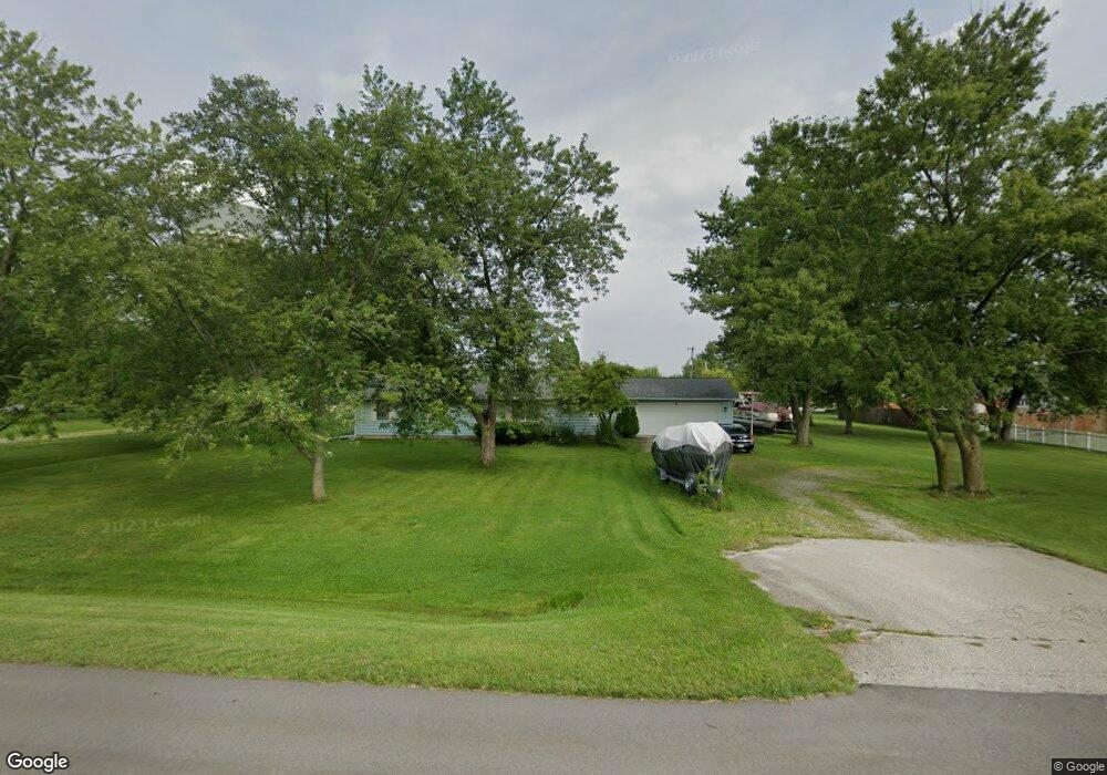
10722 Lower Huntington Rd Roanoke, IN 46783
Estimated Value: $290,000 - $351,000
3
Beds
2
Baths
1,796
Sq Ft
$176/Sq Ft
Est. Value
About This Home
This home is located at 10722 Lower Huntington Rd, Roanoke, IN 46783 and is currently estimated at $316,867, approximately $176 per square foot. 10722 Lower Huntington Rd is a home located in Allen County with nearby schools including Lafayette Meadow School, Summit Middle School, and Homestead Senior High School.
Ownership History
Date
Name
Owned For
Owner Type
Purchase Details
Closed on
Jun 29, 2001
Sold by
Dobbert Donald G
Bought by
Westfall Christopher G
Current Estimated Value
Home Financials for this Owner
Home Financials are based on the most recent Mortgage that was taken out on this home.
Original Mortgage
$86,400
Outstanding Balance
$33,441
Interest Rate
7.2%
Estimated Equity
$283,426
Create a Home Valuation Report for This Property
The Home Valuation Report is an in-depth analysis detailing your home's value as well as a comparison with similar homes in the area
Home Values in the Area
Average Home Value in this Area
Purchase History
| Date | Buyer | Sale Price | Title Company |
|---|---|---|---|
| Westfall Christopher G | -- | -- |
Source: Public Records
Mortgage History
| Date | Status | Borrower | Loan Amount |
|---|---|---|---|
| Open | Westfall Christopher G | $86,400 | |
| Closed | Westfall Christopher G | $10,800 |
Source: Public Records
Tax History Compared to Growth
Tax History
| Year | Tax Paid | Tax Assessment Tax Assessment Total Assessment is a certain percentage of the fair market value that is determined by local assessors to be the total taxable value of land and additions on the property. | Land | Improvement |
|---|---|---|---|---|
| 2024 | $2,162 | $258,100 | $34,200 | $223,900 |
| 2022 | $1,864 | $249,600 | $25,700 | $223,900 |
| 2021 | $1,494 | $200,900 | $25,700 | $175,200 |
| 2020 | $1,383 | $190,300 | $25,700 | $164,600 |
| 2019 | $1,327 | $182,400 | $25,700 | $156,700 |
| 2018 | $1,172 | $167,700 | $25,700 | $142,000 |
| 2017 | $1,134 | $157,100 | $25,700 | $131,400 |
| 2016 | $1,043 | $145,100 | $25,700 | $119,400 |
| 2014 | $826 | $124,500 | $25,700 | $98,800 |
| 2013 | $743 | $114,100 | $25,700 | $88,400 |
Source: Public Records
Map
Nearby Homes
- 10814 Lower Huntington Rd
- Freeport Plan at Sierra Ridge
- Chatham Plan at Sierra Ridge
- Bellamy Plan at Sierra Ridge
- Henley Plan at Sierra Ridge
- Stamford Plan at Sierra Ridge
- 10825 Yalumba Pass
- 11015 Yalumba Pass
- 11204 Wirra Hill
- 11305 Nightingale Cove
- 11322 Miramar Cove
- 10801 Fenton Cove
- 12502 Kress Rd
- 11132 Carob Thorn Trail
- 11099 Carob Thorn Trail
- 10937 Carob Thorn Trail
- 10406 Woodland Ridge W
- 7209 Royal Troon Ct
- 11430 Dell Loch Way
- 12408 Ivanhoe Ln
- 10702 Lower Huntington Rd
- 10012 Portage Dr
- 10815 Lower Huntington Rd
- 9924 Portage Dr
- 10622 Lower Huntington Rd
- 10005 Portage Dr
- 10915 Montara Run Unit 81
- 10907 Montara Run
- 10907 Montara Run Unit 80
- 10000 Lower Huntington Rd
- 10000 Lower Huntington Rd
- 9927 Portage Dr
- 10933 Montara Run Unit 82
- 10528 Lower Huntington Rd
- 10902 Montara Run
- 10902 Montara Run Unit 79
- 10953 Montara Run
- 10953 Montara Run Unit 83
- 10975 Montara Run Unit 84
- 9904 Portage Dr