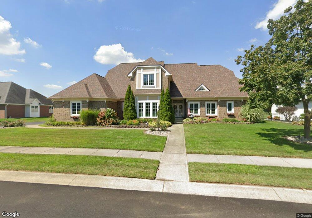
10728 Burning Ridge Ln Fishers, IN 46037
Estimated Value: $669,409 - $787,000
5
Beds
3
Baths
4,430
Sq Ft
$164/Sq Ft
Est. Value
About This Home
This home is located at 10728 Burning Ridge Ln, Fishers, IN 46037 and is currently estimated at $728,352, approximately $164 per square foot. 10728 Burning Ridge Ln is a home located in Hamilton County with nearby schools including Sigourney Elementary School, Lantern Road Elementary School, and Riverside Junior High School.
Ownership History
Date
Name
Owned For
Owner Type
Purchase Details
Closed on
Dec 10, 2004
Sold by
Padget Charles S and Padget Lynne G
Bought by
Formulak Brian K and Formulak Melissa K
Current Estimated Value
Home Financials for this Owner
Home Financials are based on the most recent Mortgage that was taken out on this home.
Original Mortgage
$320,000
Outstanding Balance
$159,081
Interest Rate
5.62%
Mortgage Type
Purchase Money Mortgage
Estimated Equity
$569,271
Create a Home Valuation Report for This Property
The Home Valuation Report is an in-depth analysis detailing your home's value as well as a comparison with similar homes in the area
Home Values in the Area
Average Home Value in this Area
Purchase History
| Date | Buyer | Sale Price | Title Company |
|---|---|---|---|
| Formulak Brian K | -- | Stewart Title |
Source: Public Records
Mortgage History
| Date | Status | Borrower | Loan Amount |
|---|---|---|---|
| Open | Formulak Brian K | $320,000 | |
| Closed | Formulak Brian K | $60,000 |
Source: Public Records
Tax History Compared to Growth
Tax History
| Year | Tax Paid | Tax Assessment Tax Assessment Total Assessment is a certain percentage of the fair market value that is determined by local assessors to be the total taxable value of land and additions on the property. | Land | Improvement |
|---|---|---|---|---|
| 2024 | $5,514 | $476,000 | $98,000 | $378,000 |
| 2023 | $5,514 | $471,000 | $98,000 | $373,000 |
| 2022 | $5,380 | $441,500 | $98,000 | $343,500 |
| 2021 | $5,017 | $410,100 | $98,000 | $312,100 |
| 2020 | $4,151 | $341,100 | $98,000 | $243,100 |
| 2019 | $4,261 | $349,100 | $102,500 | $246,600 |
| 2018 | $4,379 | $353,100 | $102,500 | $250,600 |
| 2017 | $4,207 | $344,300 | $96,800 | $247,500 |
| 2016 | $4,234 | $345,200 | $96,800 | $248,400 |
| 2014 | $3,707 | $332,700 | $96,800 | $235,900 |
| 2013 | $3,707 | $340,100 | $96,800 | $243,300 |
Source: Public Records
Map
Nearby Homes
- 10661 Burning Ridge Ln
- 10515 Collingswood Rd
- 10019 Niagara Dr
- 10334 Hillsborough Dr
- 10272 Whitetail Cir
- 9972 Woods Edge Dr
- 10747 Red Pine Dr
- 10563 Brixton Ln
- 10602 Fall Rd
- 10263 Brixton Ln
- 11226 Reflection Point Dr
- 10384 Glenn Abbey Ln
- 10244 Red Tail Dr
- 11310 Knightsbridge Ln
- 11262 Whitewater Way
- 11287 Reflection Point Dr
- 10844 Fairwoods Dr
- 9259 Oak Knoll Ln
- 10737 Springston Ct
- 10290 Glenn Abbey Ln
- 10728 Burning Ridge
- 10748 Burning Ridge
- 10724 Burning Ridge
- 10747 Burning Ridge Ln
- 10747 Burning Ridge
- 10727 Burning Ridge
- 10727 Burning Ridge Ln
- 10757 Burning Ridge
- 10758 Burning Ridge
- 10758 Burning Ridge Ln
- 10718 Burning Ridge Ln
- 10718 Burning Ridge
- 10767 Burning Ridge Ln
- 10717 Burning Ridge
- 10767 Burning Ridge
- 10717 Burning Ridge Ln
- 10778 Burning Ridge
- 10778 Burning Ridge Ln
- 10708 Burning Ridge
- 10708 Burning Ridge Ln