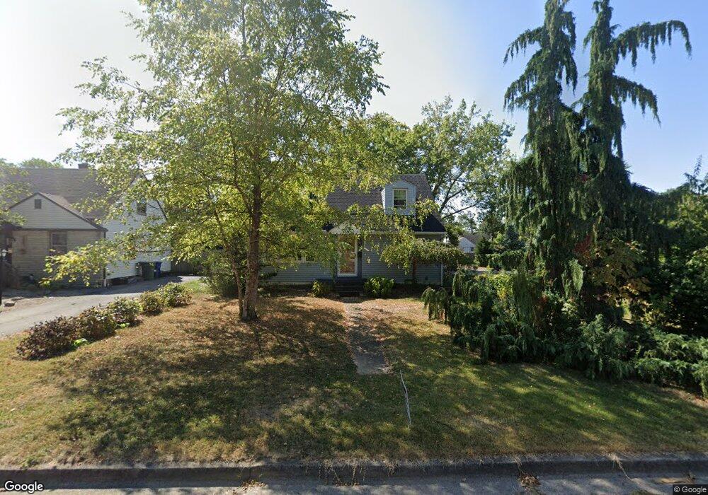
1073 E Dunedin Rd Columbus, OH 43224
North Linden NeighborhoodEstimated Value: $220,585 - $272,000
3
Beds
2
Baths
1,542
Sq Ft
$162/Sq Ft
Est. Value
About This Home
This home is located at 1073 E Dunedin Rd, Columbus, OH 43224 and is currently estimated at $249,146, approximately $161 per square foot. 1073 E Dunedin Rd is a home located in Franklin County with nearby schools including Huy Elementary School, Medina Middle School, and Mifflin High School.
Ownership History
Date
Name
Owned For
Owner Type
Purchase Details
Closed on
May 28, 1999
Sold by
Murphy Robert E and Murphy Patricia A
Bought by
Schruers Stephen L
Current Estimated Value
Home Financials for this Owner
Home Financials are based on the most recent Mortgage that was taken out on this home.
Original Mortgage
$85,429
Outstanding Balance
$20,533
Interest Rate
6.92%
Mortgage Type
FHA
Estimated Equity
$228,613
Purchase Details
Closed on
Jul 1, 1976
Bought by
Murphy Robert E
Purchase Details
Closed on
May 26, 1976
Bought by
Murphy Robert E
Create a Home Valuation Report for This Property
The Home Valuation Report is an in-depth analysis detailing your home's value as well as a comparison with similar homes in the area
Home Values in the Area
Average Home Value in this Area
Purchase History
| Date | Buyer | Sale Price | Title Company |
|---|---|---|---|
| Schruers Stephen L | $85,500 | Stewart Title Agency Of Colu | |
| Murphy Robert E | $32,000 | -- | |
| Murphy Robert E | -- | -- |
Source: Public Records
Mortgage History
| Date | Status | Borrower | Loan Amount |
|---|---|---|---|
| Open | Schruers Stephen L | $85,429 |
Source: Public Records
Tax History Compared to Growth
Tax History
| Year | Tax Paid | Tax Assessment Tax Assessment Total Assessment is a certain percentage of the fair market value that is determined by local assessors to be the total taxable value of land and additions on the property. | Land | Improvement |
|---|---|---|---|---|
| 2024 | $3,202 | $71,340 | $14,810 | $56,530 |
| 2023 | $3,161 | $71,330 | $14,805 | $56,525 |
| 2022 | $2,758 | $53,170 | $10,430 | $42,740 |
| 2021 | $2,763 | $53,170 | $10,430 | $42,740 |
| 2020 | $2,766 | $53,170 | $10,430 | $42,740 |
| 2019 | $2,610 | $43,020 | $8,370 | $34,650 |
| 2018 | $2,266 | $43,020 | $8,370 | $34,650 |
| 2017 | $2,608 | $43,020 | $8,370 | $34,650 |
| 2016 | $2,124 | $32,070 | $7,110 | $24,960 |
| 2015 | $1,928 | $32,070 | $7,110 | $24,960 |
| 2014 | $1,933 | $32,070 | $7,110 | $24,960 |
| 2013 | $1,004 | $33,775 | $7,490 | $26,285 |
Source: Public Records
Map
Nearby Homes
- 3216 Howey Rd
- 3147 Grasmere Ave
- 3268 McGuffey Rd
- 1303 Oakland Park Ave
- 3043 McGuffey Rd
- 1279 Carolyn Ave
- 1285 E North Broadway St
- 1291 Carolyn Ave
- 1090 Pauline Ave
- 3468 Kimberly Ave Unit 470
- 3352 Karl Rd
- 2950 Grasmere Ave
- 3401 Walmar Dr
- 886 Carolyn Ave
- 2906 Howey Rd
- 2899 Howey Rd
- 759 E Longview Ave
- 3546 Beulah Rd
- 2896-2898 McGuffey Rd
- 2874 Grasmere Ave
- 1081 E Dunedin Rd
- 1089 E Dunedin Rd
- 1059 E Dunedin Rd
- 1095 E Dunedin Rd
- 1074 Oakland Park Ave
- 1053 E Dunedin Rd
- 1080 E Dunedin Rd
- 1074 E Dunedin Rd
- 1062 Oakland Park Ave
- 1086 E Dunedin Rd
- 1056 Oakland Park Ave
- 1080 Oakland Park Ave
- 1101 E Dunedin Rd
- 1094 E Dunedin Rd
- 1068 E Dunedin Rd
- 1047 E Dunedin Rd
- 1050 Oakland Park Ave
- 1088 Oakland Park Ave
- 1100 E Dunedin Rd
- 1044 Oakland Park Ave