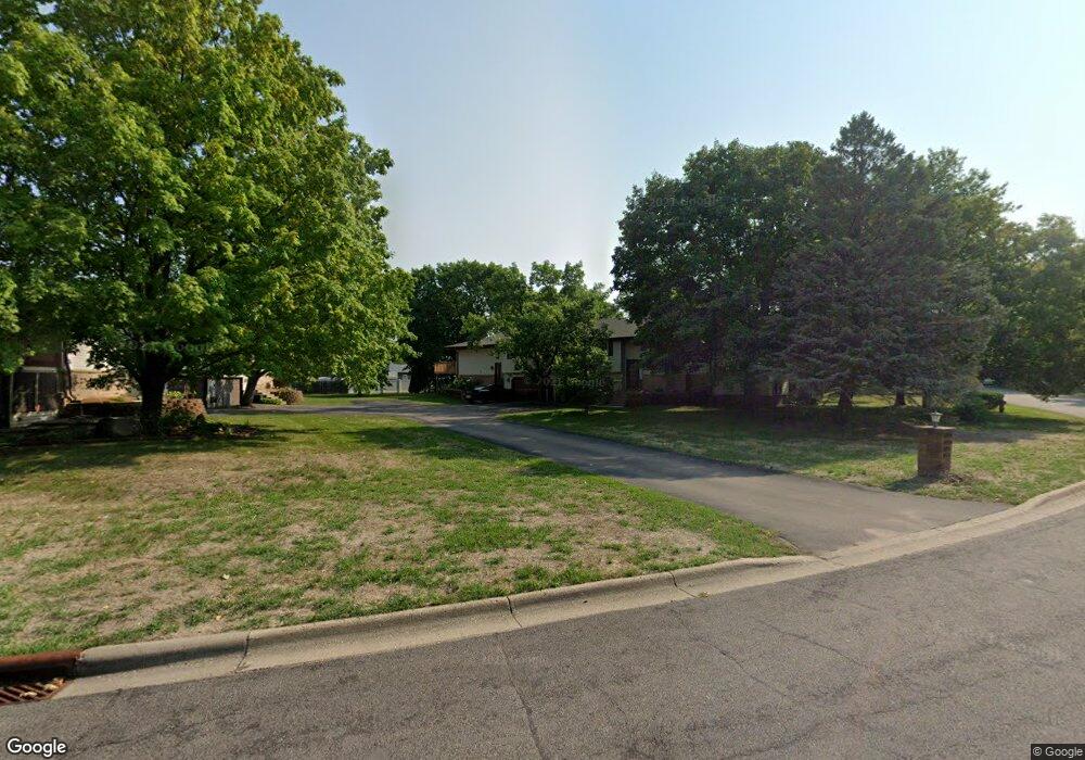
10733 Cavell Rd Bloomington, MN 55438
West Bloomington NeighborhoodEstimated Value: $259,029 - $292,000
2
Beds
1
Bath
922
Sq Ft
$292/Sq Ft
Est. Value
About This Home
This home is located at 10733 Cavell Rd, Bloomington, MN 55438 and is currently estimated at $269,507, approximately $292 per square foot. 10733 Cavell Rd is a home located in Hennepin County with nearby schools including Normandale Hills Elementary School, Olson Middle School, and Jefferson Senior High School.
Ownership History
Date
Name
Owned For
Owner Type
Purchase Details
Closed on
Oct 27, 2010
Sold by
Federal Home Loan Mortgage Corporation
Bought by
Munson Charles and Munson Patricia
Current Estimated Value
Purchase Details
Closed on
Sep 11, 2006
Sold by
Thorsteinson Kristi R
Bought by
Scott Marissa and Scott Andy
Purchase Details
Closed on
Jul 25, 2003
Sold by
Evans Gregory J and Evans Tracy L
Bought by
Thorsteinson Kristi R
Purchase Details
Closed on
Jul 24, 1998
Sold by
Divirgilio Linda
Bought by
Evans Gregory J
Create a Home Valuation Report for This Property
The Home Valuation Report is an in-depth analysis detailing your home's value as well as a comparison with similar homes in the area
Home Values in the Area
Average Home Value in this Area
Purchase History
| Date | Buyer | Sale Price | Title Company |
|---|---|---|---|
| Munson Charles | $95,000 | -- | |
| Scott Marissa | $177,000 | -- | |
| Thorsteinson Kristi R | $156,750 | -- | |
| Evans Gregory J | $101,000 | -- |
Source: Public Records
Tax History
| Year | Tax Paid | Tax Assessment Tax Assessment Total Assessment is a certain percentage of the fair market value that is determined by local assessors to be the total taxable value of land and additions on the property. | Land | Improvement |
|---|---|---|---|---|
| 2024 | $2,956 | $247,000 | $64,700 | $182,300 |
| 2023 | $2,980 | $257,500 | $64,700 | $192,800 |
| 2022 | $2,558 | $244,700 | $64,700 | $180,000 |
| 2021 | $2,426 | $213,200 | $60,300 | $152,900 |
| 2020 | $2,465 | $205,200 | $58,600 | $146,600 |
| 2019 | $2,071 | $202,900 | $58,400 | $144,500 |
| 2018 | $1,910 | $172,300 | $58,900 | $113,400 |
| 2017 | $1,664 | $142,500 | $52,000 | $90,500 |
| 2016 | $1,771 | $143,800 | $47,500 | $96,300 |
| 2015 | $1,738 | $137,200 | $45,800 | $91,400 |
| 2014 | -- | $127,300 | $44,500 | $82,800 |
Source: Public Records
Map
Nearby Homes
- 10434 Decatur Ave S
- 7616 Landau Dr
- 7555 W 110th St
- 7500 Landau Dr
- 10905 Rhode Island Ave S
- 10127 Trotters Path
- 7404 Landau Dr
- 10512 Quebec Rd
- 7401 Landau Dr Unit 12
- 11159 Sumter Ave S
- 10421 Quebec Ave S
- 7229 Woodstock Curve Unit 6
- 10935 Oregon Ave S
- 10675 Cavallo Ridge
- 7401 W 101st St Unit 111
- 9947 Cavell Ave S
- 10509 Purdey Rd
- 10281 Arrowwood Dr
- 10636 Purdey Rd
- 7062 W 113th St Unit 1
- 10729 Cavell Rd
- 10745 Cavell Rd
- 10717 Cavell Rd
- 10737 Cavell Rd
- 10749 Cavell Rd
- 10741 Cavell Rd
- 8321 W 107th St
- 10725 Cavell Rd
- 10753 Cavell Rd
- 10721 Cavell Rd
- 8331 W 107th St
- 10761 Cavell Rd
- 10713 Cavell Rd
- 10757 Cavell Rd
- 10709 Cavell Rd
- 10716 Aquila Ave S
- 8341 W 107th St
- 10722 Aquila Ave S
- 10756 Cavell Rd
- 10700 Aquila Ave S
Your Personal Tour Guide
Ask me questions while you tour the home.