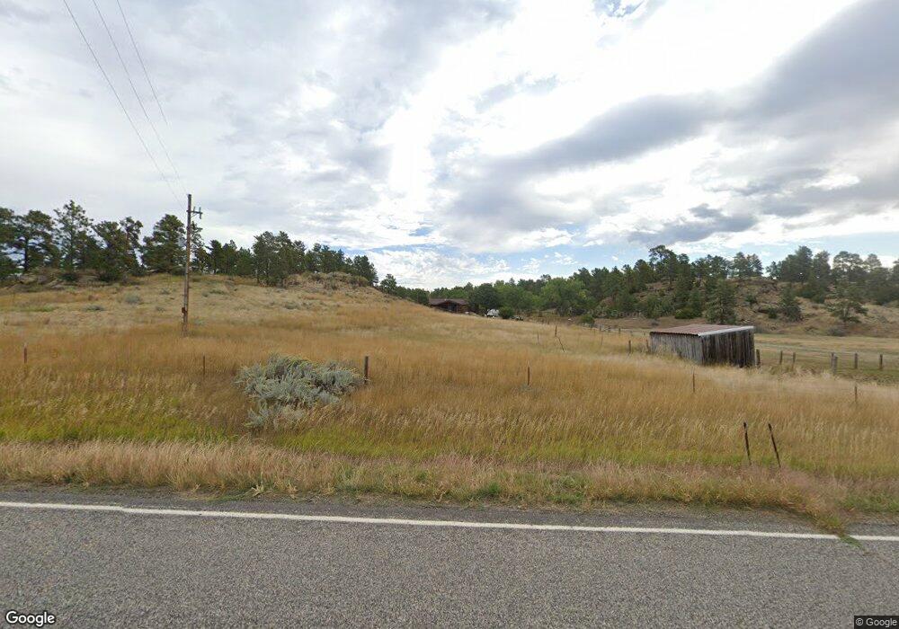
10737 C A Rd Shepherd, MT 59079
Estimated Value: $337,000 - $484,000
2
Beds
1
Bath
1,224
Sq Ft
$357/Sq Ft
Est. Value
About This Home
This home is located at 10737 C A Rd, Shepherd, MT 59079 and is currently estimated at $436,373, approximately $356 per square foot. 10737 C A Rd is a home located in Yellowstone County with nearby schools including Shepherd Elementary School, Shepherd Middle School, and Shepherd High School.
Ownership History
Date
Name
Owned For
Owner Type
Purchase Details
Closed on
Jul 20, 2023
Sold by
Mavity Betty Jean and Mavity Monte
Bought by
My Green Earth Lp
Current Estimated Value
Purchase Details
Closed on
Oct 11, 2005
Sold by
Mavity Betty Jean and Mavity Monte
Bought by
Mavity Monte R and Mavity Betty Jean
Create a Home Valuation Report for This Property
The Home Valuation Report is an in-depth analysis detailing your home's value as well as a comparison with similar homes in the area
Home Values in the Area
Average Home Value in this Area
Purchase History
| Date | Buyer | Sale Price | Title Company |
|---|---|---|---|
| My Green Earth Lp | -- | First Montana Title | |
| Mavity Monte R | -- | None Available |
Source: Public Records
Tax History Compared to Growth
Tax History
| Year | Tax Paid | Tax Assessment Tax Assessment Total Assessment is a certain percentage of the fair market value that is determined by local assessors to be the total taxable value of land and additions on the property. | Land | Improvement |
|---|---|---|---|---|
| 2025 | $2,085 | $279,154 | $51,654 | $227,500 |
| 2024 | $2,085 | $225,287 | $42,947 | $182,340 |
| 2023 | $2,266 | $242,667 | $42,947 | $199,720 |
| 2022 | $2,035 | $192,862 | $0 | $0 |
| 2021 | $2,030 | $192,862 | $0 | $0 |
| 2020 | $1,934 | $177,039 | $0 | $0 |
| 2019 | $1,609 | $177,039 | $0 | $0 |
| 2018 | $1,558 | $160,574 | $0 | $0 |
| 2017 | $1,530 | $160,574 | $0 | $0 |
| 2016 | $1,444 | $158,516 | $0 | $0 |
| 2015 | $1,431 | $158,516 | $0 | $0 |
| 2014 | $1,277 | $73,758 | $0 | $0 |
Source: Public Records
Map
Nearby Homes
- 10550 Reno Ln
- 10052 Floating Island Way
- 8700 Fox Run
- 6835 Eagle Bend Blvd
- 9705 Shepherd Rd
- 7500 Eagle Bend Blvd
- 2573 N 8th Rd
- 2573 Road 8
- 6732 Pinto Dr
- 5652 Bengston Rd
- 8020 Wade St
- 2285 N 9th Rd
- 1225 Homestead Dr
- TBD 12 Mile Rd
- 5358 Yeoman Rd
- 2293 N 12th Rd
- 7133 Mustang Rd
- 4935 Lewies Way
- 3863 Glenn Edward Rd
- 2464 4th St
- 10807 C A Rd
- 10850 C A Rd
- 10702 C A Rd
- 10626 C A Rd
- 11045 C A Rd
- 11375 Pleasant Hollow Trail
- 11252 C A Rd
- 11220 Pleasant Hollow Trail
- 11211 Pleasant Hollow Trail
- 8000 Scandia Rd
- 11075 Peaceful Plateau Trail
- 11234 Pleasant Hollow Trail
- 11328 Pleasant Hollow Trail
- 11008 Peaceful Plateau Trail
- 11225 Pleasant Hollow Trail
- 11041 Peaceful Plateau Trail
- 11344 Peaceful Plateau Trail
- 11235 Pleasant Hollow Trail
- 11309 Pleasant Hollow Trail
- 11336 Peaceful Plateau Trail