10737 S State Route 69 Mayer, AZ 86333
Mayer NeighborhoodEstimated Value: $45,451
--
Bed
--
Bath
--
Sq Ft
1.12
Acres
About This Home
This home is located at 10737 S State Route 69, Mayer, AZ 86333 and is currently estimated at $45,451. 10737 S State Route 69 is a home located in Yavapai County with nearby schools including Mayer Elementary School and Mayer High School.
Ownership History
Date
Name
Owned For
Owner Type
Purchase Details
Closed on
Jul 12, 2024
Sold by
Nicholas Darrell Warren and Tippit Nancy
Bought by
Hintereder Magda and Herman Michael
Current Estimated Value
Purchase Details
Closed on
Mar 2, 2005
Sold by
Mann Ronda Lee and Denny Gary R
Bought by
Nicholas Darrell
Purchase Details
Closed on
Apr 7, 2004
Sold by
Mann Ronda Lee
Bought by
Denny Gary R and Denny Craig M
Purchase Details
Closed on
Jul 23, 2003
Sold by
Rosenberger Audrey Nora
Bought by
Rosenberger Audrey Nora
Create a Home Valuation Report for This Property
The Home Valuation Report is an in-depth analysis detailing your home's value as well as a comparison with similar homes in the area
Home Values in the Area
Average Home Value in this Area
Purchase History
| Date | Buyer | Sale Price | Title Company |
|---|---|---|---|
| Hintereder Magda | $45,000 | Roc Title Agency | |
| Nicholas Darrell | $78,000 | Capital Title Agency | |
| Mann Ronda Lee | -- | Capital Title Agency | |
| Denny Gary R | -- | First American Title Ins Co | |
| Rosenberger Audrey Nora | -- | -- |
Source: Public Records
Tax History Compared to Growth
Tax History
| Year | Tax Paid | Tax Assessment Tax Assessment Total Assessment is a certain percentage of the fair market value that is determined by local assessors to be the total taxable value of land and additions on the property. | Land | Improvement |
|---|---|---|---|---|
| 2026 | $560 | -- | -- | -- |
| 2024 | $556 | -- | -- | -- |
| 2023 | $556 | $10,684 | $10,684 | $0 |
| 2022 | $541 | $6,881 | $6,881 | $0 |
| 2021 | $558 | $6,881 | $6,881 | $0 |
| 2020 | $539 | $0 | $0 | $0 |
| 2019 | $534 | $0 | $0 | $0 |
| 2018 | $543 | $0 | $0 | $0 |
| 2017 | $554 | $0 | $0 | $0 |
| 2016 | $558 | $0 | $0 | $0 |
| 2015 | -- | $0 | $0 | $0 |
| 2014 | -- | $0 | $0 | $0 |
Source: Public Records
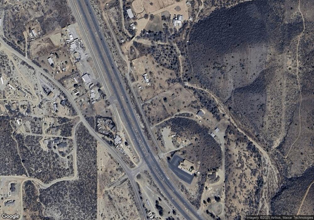
Map
Nearby Homes
- 13635 E Paloma Trail
- 10700 S Austin Ln
- 10603 S Cholla Dr
- 13650 E Soleil Down Rd
- 13430 E Summit Ave
- 14420 E Jagged Tooth Tr
- 13400 E High View Rd
- 12955 E Border St
- 13190 E Central Ave
- 10198 Miami St
- 12996 E Central Ave
- 12921 E Central Ave
- 10022 S Wicks Ave
- 10029 1st St
- 144s S Cobalt Rd Unit 5
- 144s S Cobalt Rd
- 11425 S Hackberry Rd
- 11425 S Hackberry Trail
- 11425 S Hackberry Trail
- 12529 E Central Ave
- 10723 S Highway 69
- 10681 S State Route 69
- 10801 S State Route 69
- 10745 S State Route 69
- 10748 S State Route 69 --
- 10740 S State Route 69
- 13735 Main St
- 10740 S Highway 69
- 13710 E Main St
- 10650 S State Route 69
- 13700 E Main St
- 1922 Main St
- 13670 E Main St
- 10630 S State Route 69 --
- 10630 S State Route 69
- 13735 E Main St
- 13670 E Scooter Ln
- 13775 E Main St
- 13626 E Main St
- 00000 S Ivory St