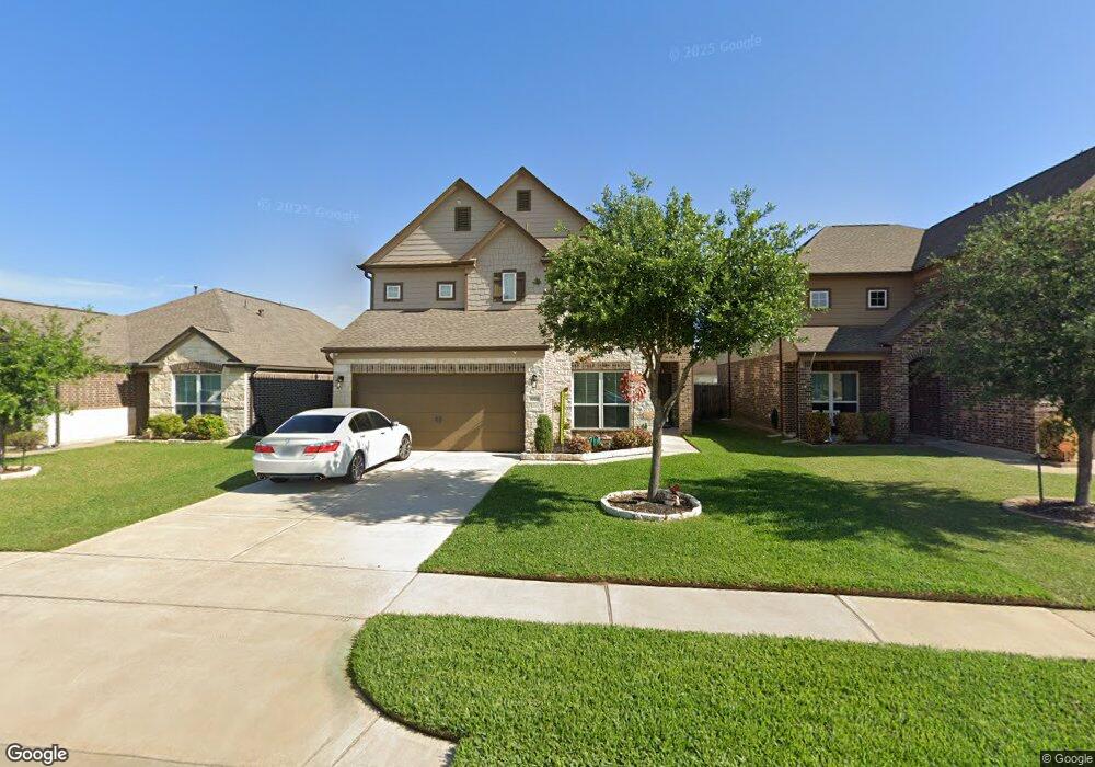
10738 Chestnut Path Way Tomball, TX 77375
Northpointe NeighborhoodEstimated Value: $316,666 - $372,000
3
Beds
3
Baths
2,638
Sq Ft
$132/Sq Ft
Est. Value
About This Home
This home is located at 10738 Chestnut Path Way, Tomball, TX 77375 and is currently estimated at $349,417, approximately $132 per square foot. 10738 Chestnut Path Way is a home with nearby schools including Blackshear Elementary School, Ulrich Intermediate School, and Klein Cain High School.
Ownership History
Date
Name
Owned For
Owner Type
Purchase Details
Closed on
Dec 18, 2015
Sold by
Long Lake Ltd
Bought by
Alvarez Adam and Alday Maria
Current Estimated Value
Home Financials for this Owner
Home Financials are based on the most recent Mortgage that was taken out on this home.
Original Mortgage
$217,049
Outstanding Balance
$170,958
Interest Rate
3.75%
Mortgage Type
FHA
Estimated Equity
$178,459
Create a Home Valuation Report for This Property
The Home Valuation Report is an in-depth analysis detailing your home's value as well as a comparison with similar homes in the area
Home Values in the Area
Average Home Value in this Area
Purchase History
| Date | Buyer | Sale Price | Title Company |
|---|---|---|---|
| Alvarez Adam | -- | South Land Title Llc |
Source: Public Records
Mortgage History
| Date | Status | Borrower | Loan Amount |
|---|---|---|---|
| Open | Alvarez Adam | $217,049 |
Source: Public Records
Tax History Compared to Growth
Tax History
| Year | Tax Paid | Tax Assessment Tax Assessment Total Assessment is a certain percentage of the fair market value that is determined by local assessors to be the total taxable value of land and additions on the property. | Land | Improvement |
|---|---|---|---|---|
| 2025 | $6,417 | $354,867 | $40,032 | $314,835 |
| 2024 | $6,417 | $343,715 | $40,032 | $303,683 |
| 2023 | $6,417 | $355,551 | $40,032 | $315,519 |
| 2022 | $7,075 | $313,882 | $40,032 | $273,850 |
| 2021 | $6,801 | $251,286 | $22,518 | $228,768 |
| 2020 | $6,709 | $235,506 | $22,518 | $212,988 |
| 2019 | $6,647 | $227,750 | $22,518 | $205,232 |
| 2018 | $2,563 | $204,253 | $22,518 | $181,735 |
| 2017 | $6,093 | $204,253 | $22,518 | $181,735 |
| 2016 | $5,460 | $0 | $0 | $0 |
Source: Public Records
Map
Nearby Homes
- 19211 Side Way
- 10930 Chestnut Path Way
- 19006 Ashford Square St
- 11019 Chestnut Path Way
- 19031 Ashford Square St
- 10622 Dawn Pine Forest Trail
- 19442 Bold River Rd
- 10138 Cairn Meadows Dr
- 19002 Ayston Dr
- 1227 Brinson Ct
- 1231 Heath Hollow Dr
- 11410 Dahlia Dale Dr
- 9923 Eden Valley Dr
- 11438 Baldwin Spruce Trail
- 11307 Flying Geese Ln
- 11118 Northam Dr
- 11422 Log Cabin Ln
- 10022 Elkwood Glen Ln
- 11315 Granite Rock Ln
- 18811 Lantern Cove Ln
- 10734 Chestnut Path Way
- 10730 Chestnut Path Way
- 11107 Wild Goose Dr
- 10802 Chestnut Path Way
- 11103 Wild Goose Dr
- 11111 Wild Goose Dr
- 11115 Wild Goose Dr
- 10726 Chestnut Path Way
- 10739 Chestnut Path Way
- 10806 Chestnut Path Way
- 10735 Chestnut Path Way
- 19202 Danphe Landing Ct
- 19222 Side Way
- 10722 Chestnut Path Way
- 11119 Wild Goose Dr
- 10810 Chestnut Path Way
- 11123 Wild Goose Dr
- 19218 Side Way
- 11127 Wild Goose Dr
- 19206 Danphe Landing Ct