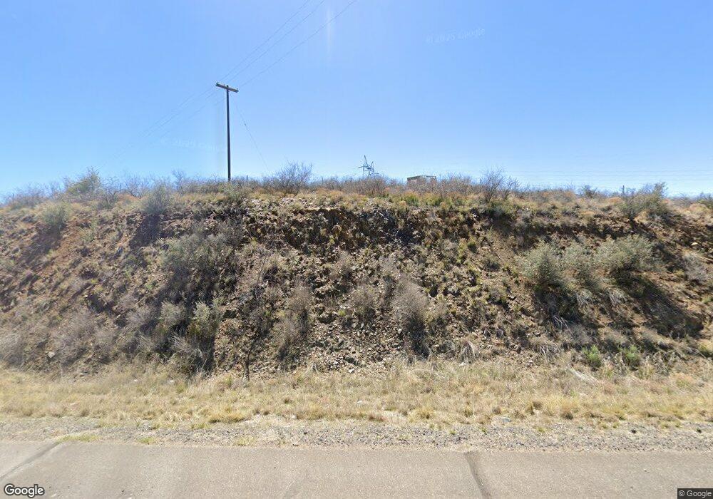
10740 S Highway 69 Mayer, AZ 86333
Mayer NeighborhoodEstimated Value: $254,643 - $524,000
--
Bed
--
Bath
2,336
Sq Ft
$160/Sq Ft
Est. Value
About This Home
This home is located at 10740 S Highway 69, Mayer, AZ 86333 and is currently estimated at $373,411, approximately $159 per square foot. 10740 S Highway 69 is a home located in Yavapai County with nearby schools including Mayer Elementary School and Mayer High School.
Ownership History
Date
Name
Owned For
Owner Type
Purchase Details
Closed on
Nov 12, 2011
Sold by
M 2 Properties Llc
Bought by
Destination Llc
Current Estimated Value
Purchase Details
Closed on
Aug 25, 2011
Sold by
Hsbc Bank Usa Na
Bought by
M2 Properties Llc
Purchase Details
Closed on
Jul 28, 2010
Sold by
Berry Elton L and Berry Madeline S
Bought by
Hsbc Bank Usa Na
Purchase Details
Closed on
Sep 5, 2005
Sold by
Brockert Brian M and Brockert Darlene J
Bought by
Berry Elton L and Berry Madeline S
Home Financials for this Owner
Home Financials are based on the most recent Mortgage that was taken out on this home.
Original Mortgage
$112,500
Interest Rate
6.25%
Mortgage Type
New Conventional
Purchase Details
Closed on
Apr 11, 2000
Sold by
Savage Randall C and Savage Lori L
Bought by
Brockert Brian M and Brockert Darlene J
Home Financials for this Owner
Home Financials are based on the most recent Mortgage that was taken out on this home.
Original Mortgage
$85,500
Interest Rate
8.25%
Mortgage Type
New Conventional
Purchase Details
Closed on
Jul 7, 1999
Sold by
Denny Robert and Denny Diane
Bought by
Morgaine Kari and Mcdowell Karen
Purchase Details
Closed on
Apr 29, 1994
Sold by
Zukowski Raymond and Zukowski Carol A
Bought by
Mcdowell Karen and Denny Robert
Create a Home Valuation Report for This Property
The Home Valuation Report is an in-depth analysis detailing your home's value as well as a comparison with similar homes in the area
Home Values in the Area
Average Home Value in this Area
Purchase History
| Date | Buyer | Sale Price | Title Company |
|---|---|---|---|
| Destination Llc | $48,899 | Accommodation | |
| M2 Properties Llc | $48,699 | None Available | |
| Hsbc Bank Usa Na | $118,975 | Lsi Title Agency Inc | |
| Berry Elton L | $150,000 | Chicago Title Ins Co | |
| Brockert Brian M | $99,000 | Capital Title Agency Inc | |
| Morgaine Kari | -- | Yavapai Coconino Title Agenc | |
| Mcdowell Karen | $61,000 | First American Title Ins |
Source: Public Records
Mortgage History
| Date | Status | Borrower | Loan Amount |
|---|---|---|---|
| Previous Owner | Berry Elton L | $112,500 | |
| Previous Owner | Brockert Brian M | $85,500 |
Source: Public Records
Tax History Compared to Growth
Tax History
| Year | Tax Paid | Tax Assessment Tax Assessment Total Assessment is a certain percentage of the fair market value that is determined by local assessors to be the total taxable value of land and additions on the property. | Land | Improvement |
|---|---|---|---|---|
| 2026 | $1,000 | $26,065 | -- | -- |
| 2024 | $992 | $27,608 | -- | -- |
| 2023 | $992 | $22,508 | $0 | $0 |
| 2022 | $966 | $16,978 | $1,092 | $15,886 |
| 2021 | $995 | $16,231 | $933 | $15,298 |
| 2020 | $962 | $0 | $0 | $0 |
| 2019 | $953 | $0 | $0 | $0 |
| 2018 | $922 | $0 | $0 | $0 |
| 2017 | $897 | $0 | $0 | $0 |
| 2016 | $860 | $0 | $0 | $0 |
| 2015 | -- | $0 | $0 | $0 |
| 2014 | -- | $0 | $0 | $0 |
Source: Public Records
Map
Nearby Homes
- 13271 E Courtney Ln
- 10700 S Austin Ln
- 10930 S Banjo Ln
- 13501 E China Way
- 13430 E Summit Ave
- 13338 E Main St
- 13400 E High View Rd
- 10231 S Fir St
- 14420 E Jagged Tooth Tr
- 13190 E Central Ave
- 10198 Miami St
- 12996 E Central Ave
- 12921 E Central Ave
- 10029 1st St
- 144s S Cobalt Rd Unit 5
- 144s S Cobalt Rd
- 12529 E Central Ave
- 12501 E Central Ave
- 9840 Eighth St
- 12401 E Agua Fria Ave
- 10740 S State Route 69
- 13710 E Main St
- 13700 E Main St
- 10650 S State Route 69
- 10748 S State Route 69 --
- 1922 Main St
- 13670 E Main St
- 13775 E Main St
- 13735 Main St
- 10630 S State Route 69 --
- 10630 S State Route 69
- 13626 E Main St
- 0 S Renegade Way Unit PAR974653
- 0 S Renegade Way Unit PAR422178
- 0 S Renegade Way Unit PAR422179
- 0 S Renegade Way Unit PAR393995
- 0 S Renegade Way Unit PAR888841
- 0 S Renegade Way Unit PAR393993
- 0 S Renegade Way Unit PAR393994
- 0 S Renegade Way Unit 1037374
