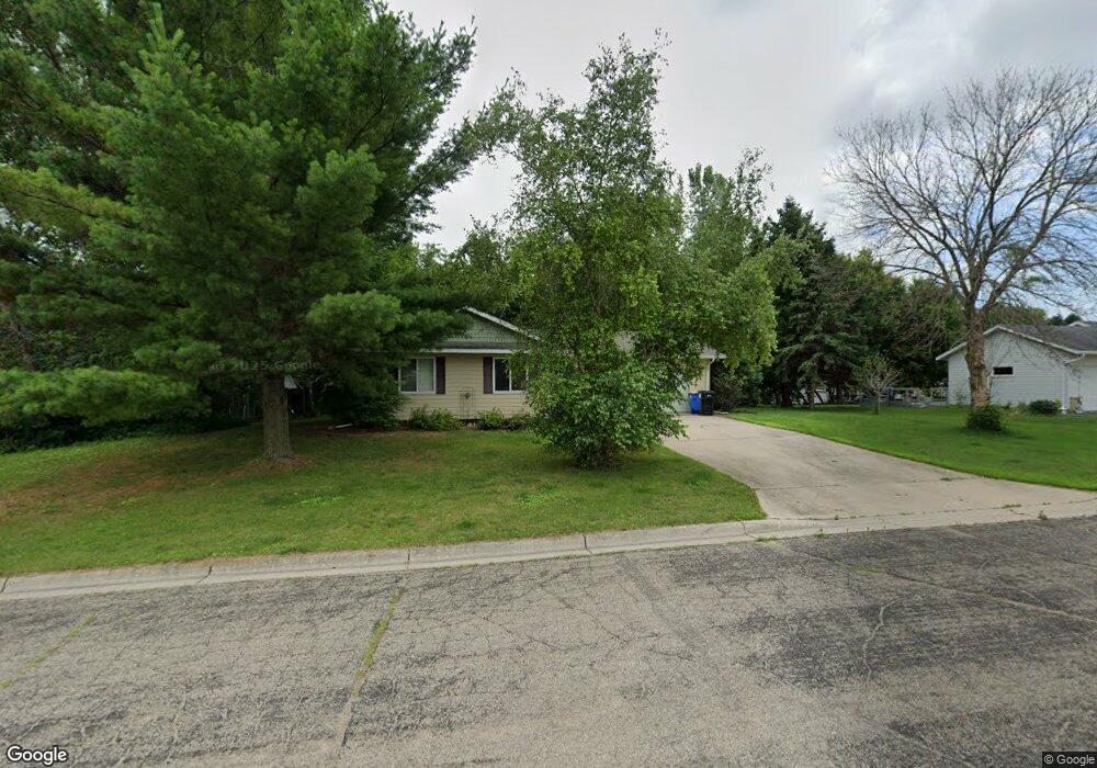
1075 22nd St NE Owatonna, MN 55060
Estimated Value: $244,000 - $302,000
2
Beds
1
Bath
861
Sq Ft
$304/Sq Ft
Est. Value
About This Home
This home is located at 1075 22nd St NE, Owatonna, MN 55060 and is currently estimated at $261,798, approximately $304 per square foot. 1075 22nd St NE is a home located in Steele County with nearby schools including McKinley Elementary School, Owatonna Middle School, and Owatonna Senior High School.
Ownership History
Date
Name
Owned For
Owner Type
Purchase Details
Closed on
Aug 30, 2005
Sold by
Brindmore Mark J
Bought by
Paquin Richard and Paquin Cheryl
Current Estimated Value
Home Financials for this Owner
Home Financials are based on the most recent Mortgage that was taken out on this home.
Original Mortgage
$140,000
Outstanding Balance
$86,823
Interest Rate
8.5%
Mortgage Type
Adjustable Rate Mortgage/ARM
Estimated Equity
$174,975
Create a Home Valuation Report for This Property
The Home Valuation Report is an in-depth analysis detailing your home's value as well as a comparison with similar homes in the area
Home Values in the Area
Average Home Value in this Area
Purchase History
| Date | Buyer | Sale Price | Title Company |
|---|---|---|---|
| Paquin Richard | $140,000 | None Available |
Source: Public Records
Mortgage History
| Date | Status | Borrower | Loan Amount |
|---|---|---|---|
| Open | Paquin Richard | $140,000 |
Source: Public Records
Tax History Compared to Growth
Tax History
| Year | Tax Paid | Tax Assessment Tax Assessment Total Assessment is a certain percentage of the fair market value that is determined by local assessors to be the total taxable value of land and additions on the property. | Land | Improvement |
|---|---|---|---|---|
| 2025 | $2,954 | $235,400 | $57,800 | $177,600 |
| 2024 | $2,986 | $218,600 | $50,000 | $168,600 |
| 2023 | $2,956 | $211,800 | $48,200 | $163,600 |
| 2022 | $2,604 | $201,100 | $46,000 | $155,100 |
| 2021 | $2,472 | $163,562 | $40,572 | $122,990 |
| 2020 | $2,478 | $154,742 | $40,572 | $114,170 |
| 2019 | $2,208 | $149,450 | $40,572 | $108,878 |
| 2018 | $1,876 | $142,786 | $40,572 | $102,214 |
| 2017 | $1,770 | $125,146 | $26,754 | $98,392 |
| 2016 | $1,796 | $119,952 | $26,754 | $93,198 |
| 2015 | -- | $0 | $0 | $0 |
| 2014 | -- | $0 | $0 | $0 |
Source: Public Records
Map
Nearby Homes
- 1299 Bellflower Ln NE
- 1251 Bellflower Ln NE
- 1231 Bellflower Ln NE
- 1239 Bellflower Ln NE
- 1270 Bellflower Ln NE
- 2055 Bigelow Ave
- 1215 Bellflower Ln
- TBD Mineral Springs Pkwy NE
- 2215 Condor Place
- 720 22nd St NE
- 2075 Hemlock Ave NE
- XXXX Prairie Ln NE
- 1880 Kenyon Rd
- 1560 Gray Fox Dr NE
- 1325 Mineral Springs Rd
- 630 23rd St NE
- 885 Lee St NE
- 655 Lee St NE
- 2806 Timber Ridge Dr NE
- 475 Willow Creek Dr
- 1065 22nd St NE
- 1055 22nd St NE
- 2125 Prairie Place NE
- 2075 Prairie Place NE
- 2135 Prairie Place NE
- 1035 22nd St NE
- 2045 Prairie Place NE
- 1170 20th St NE
- 2130 Prairie Place NE
- 1090 20th St NE
- 1015 22nd St NE
- 2120 Prairie Place NE
- 2080 Prairie Place NE
- 2135 Hemlock Ave
- 1005 22nd St NE
- 2125 Hemlock Ave
- 1135 20th St NE
- 1165 20th St NE
- 2115 Hemlock Ave
- 1195 20th St NE