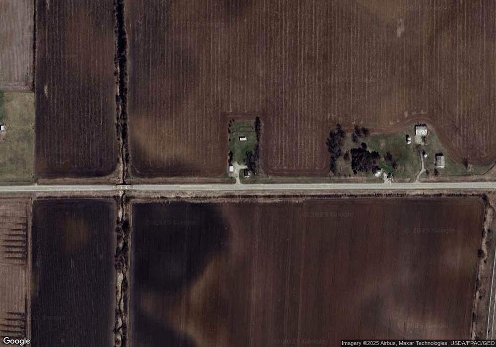
1075 230th St Conesville, IA 52739
Estimated Value: $89,000 - $295,000
3
Beds
1
Bath
1,169
Sq Ft
$177/Sq Ft
Est. Value
About This Home
This home is located at 1075 230th St, Conesville, IA 52739 and is currently estimated at $206,341, approximately $176 per square foot. 1075 230th St is a home located in Muscatine County with nearby schools including Roundy Elementary School and Columbus Community High School.
Ownership History
Date
Name
Owned For
Owner Type
Purchase Details
Closed on
Apr 14, 2023
Sold by
Pooknliz Llc
Bought by
Carver Anthony and Carver Caitlyn
Current Estimated Value
Home Financials for this Owner
Home Financials are based on the most recent Mortgage that was taken out on this home.
Original Mortgage
$220,000
Outstanding Balance
$210,365
Interest Rate
4%
Mortgage Type
VA
Estimated Equity
-$4,024
Purchase Details
Closed on
Jan 6, 2023
Sold by
Escobedo Elizabeth A
Bought by
Pooknliz Llc
Purchase Details
Closed on
Mar 30, 2013
Sold by
Forbes Joe S and Forbes Andrea M
Bought by
Forbes Daniel J
Home Financials for this Owner
Home Financials are based on the most recent Mortgage that was taken out on this home.
Original Mortgage
$12,500
Interest Rate
3.5%
Mortgage Type
Purchase Money Mortgage
Create a Home Valuation Report for This Property
The Home Valuation Report is an in-depth analysis detailing your home's value as well as a comparison with similar homes in the area
Home Values in the Area
Average Home Value in this Area
Purchase History
| Date | Buyer | Sale Price | Title Company |
|---|---|---|---|
| Carver Anthony | $220,000 | None Listed On Document | |
| Pooknliz Llc | -- | -- | |
| Forbes Daniel J | $125,000 | None Available |
Source: Public Records
Mortgage History
| Date | Status | Borrower | Loan Amount |
|---|---|---|---|
| Open | Carver Anthony | $220,000 | |
| Previous Owner | Forbes Daniel J | $12,500 |
Source: Public Records
Tax History Compared to Growth
Tax History
| Year | Tax Paid | Tax Assessment Tax Assessment Total Assessment is a certain percentage of the fair market value that is determined by local assessors to be the total taxable value of land and additions on the property. | Land | Improvement |
|---|---|---|---|---|
| 2025 | $1,801 | $177,620 | $35,780 | $141,840 |
| 2024 | $1,801 | $177,620 | $35,780 | $141,840 |
| 2023 | $11 | $121,836 | $28,090 | $93,746 |
| 2022 | $1,400 | $117,030 | $26,500 | $90,530 |
| 2021 | $1,426 | $114,000 | $26,500 | $87,500 |
| 2020 | $1,379 | $111,660 | $21,500 | $90,160 |
| 2019 | $1,619 | $115,190 | $0 | $0 |
| 2018 | $1,662 | $115,190 | $0 | $0 |
| 2017 | $1,650 | $109,980 | $0 | $0 |
| 2016 | $1,906 | $109,980 | $0 | $0 |
| 2015 | $1,906 | $105,750 | $0 | $0 |
| 2014 | $1,728 | $105,750 | $0 | $0 |
Source: Public Records
Map
Nearby Homes
- 25736 Golden Pond Ln Se Lot 17
- 25738 Golden Pond Ln Se Lot 16
- 25832 Golden Oak Ln Lot 12
- 25838 Golden Oak Ln Lot 7
- 25824 Golden Oak Ln Lot 9
- 25836 Golden Oak Ln Lot 8
- 25840 Golden Oak Ln Lot 1
- 1371 260th St
- 19523 V Ave
- 20513 County Road G40
- 106 Dorothy Ln
- 500 S Center St
- 407 E Elm St
- 201 N Devoe St
- 221 W Commercial St
- 745 N Perkins St
- 125 N Cherry St
- 260 Colonels Dr
- 000 Louisa-Washington Rd
- 0 Louisa-Washington Rd