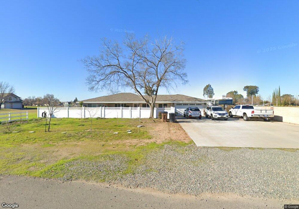
1075 Liberty Ln Lincoln, CA 95648
Estimated Value: $531,000 - $906,000
4
Beds
2
Baths
2,483
Sq Ft
$297/Sq Ft
Est. Value
About This Home
This home is located at 1075 Liberty Ln, Lincoln, CA 95648 and is currently estimated at $738,593, approximately $297 per square foot. 1075 Liberty Ln is a home located in Placer County with nearby schools including Carlin C. Coppin Elementary, Glen Edwards Middle, and Lincoln High.
Ownership History
Date
Name
Owned For
Owner Type
Purchase Details
Closed on
Oct 1, 2015
Sold by
Corporation Of The Presiding Bishop Of T
Bought by
Fitzgerald Ruth Ann and Fitzgerald Christopher A
Current Estimated Value
Purchase Details
Closed on
Apr 2, 2012
Sold by
Fitzgerald Ruth Ann
Bought by
Fitzgerald Ruth Ann and Fitzgerald Christopher A
Purchase Details
Closed on
Apr 20, 2006
Sold by
Fitzgerald Ruth Ann
Bought by
Fitzgerald Ruth Ann
Home Financials for this Owner
Home Financials are based on the most recent Mortgage that was taken out on this home.
Original Mortgage
$200,000
Interest Rate
1%
Mortgage Type
Fannie Mae Freddie Mac
Purchase Details
Closed on
Nov 26, 2001
Sold by
Va
Bought by
Fitzgerald Ruth Ann
Home Financials for this Owner
Home Financials are based on the most recent Mortgage that was taken out on this home.
Original Mortgage
$95,000
Interest Rate
6.67%
Create a Home Valuation Report for This Property
The Home Valuation Report is an in-depth analysis detailing your home's value as well as a comparison with similar homes in the area
Home Values in the Area
Average Home Value in this Area
Purchase History
| Date | Buyer | Sale Price | Title Company |
|---|---|---|---|
| Fitzgerald Ruth Ann | -- | Placer Title Company | |
| Fitzgerald Ruth Ann | -- | None Available | |
| Fitzgerald Ruth Ann | -- | Chicago Title Company | |
| Fitzgerald Ruth Ann | -- | -- |
Source: Public Records
Mortgage History
| Date | Status | Borrower | Loan Amount |
|---|---|---|---|
| Previous Owner | Fitzgerald Ruth Ann | $200,000 | |
| Previous Owner | Fitzgerald Ruth Ann | $95,000 |
Source: Public Records
Tax History
| Year | Tax Paid | Tax Assessment Tax Assessment Total Assessment is a certain percentage of the fair market value that is determined by local assessors to be the total taxable value of land and additions on the property. | Land | Improvement |
|---|---|---|---|---|
| 2025 | $2,939 | $281,974 | $50,678 | $231,296 |
| 2023 | $2,939 | $271,026 | $48,711 | $222,315 |
| 2022 | $2,857 | $265,712 | $47,756 | $217,956 |
| 2021 | $2,611 | $242,562 | $46,820 | $195,742 |
| 2020 | $1,748 | $160,688 | $46,340 | $114,348 |
| 2019 | $1,411 | $130,087 | $45,432 | $84,655 |
| 2018 | $1,376 | $127,538 | $44,542 | $82,996 |
| 2017 | $1,333 | $125,038 | $43,669 | $81,369 |
| 2016 | $1,301 | $122,587 | $42,813 | $79,774 |
Source: Public Records
Map
Nearby Homes
- 5605 McCourtney Rd
- 1025 Wilson Ave
- 2091 Marlette Way
- 2086 Marlette Way
- 2079 Marlette Way
- 2019 Marlette Way
- 521 Hollywood Way
- 948 Brooke Stream Ct
- 816 Cross Creek Ln
- 816 Cross Creek Ln Unit Lot68
- 526 Hollywood Way
- 522 Hollywood Way Unit Lot38
- 1551 Cascade Way
- 1348 Lodge Way
- 1697 Donner Ln
- 784 Cross Creek Ln
- 851 Virginiatown Rd
- 1563 Cascade Way
- 859 Riley Way
- 823 Riley Way
- 0 Liberty Ln Unit 80057308
- 0 Liberty Ln Unit 14004242
- 0 Liberty Ln Unit 16065030
- 0 Liberty Ln Unit 7-5896
- 1095 Liberty Ln
- 664 Virginiatown Rd
- 995 Liberty Ln
- 1150 Red Leaf Way
- 708 Virginiatown Rd
- 600 E 10th St
- 810 Virginiatown Rd
- 668 Virginiatown Rd
- 755 E 9th St
- 660 Virginiatown Rd
- 590 E 10th St
- 640 Virginiatown Rd
- 991 Sparta Way
- 977 Sparta Way
- 580 E 10th St
- 1255 Red Leaf Way
Your Personal Tour Guide
Ask me questions while you tour the home.