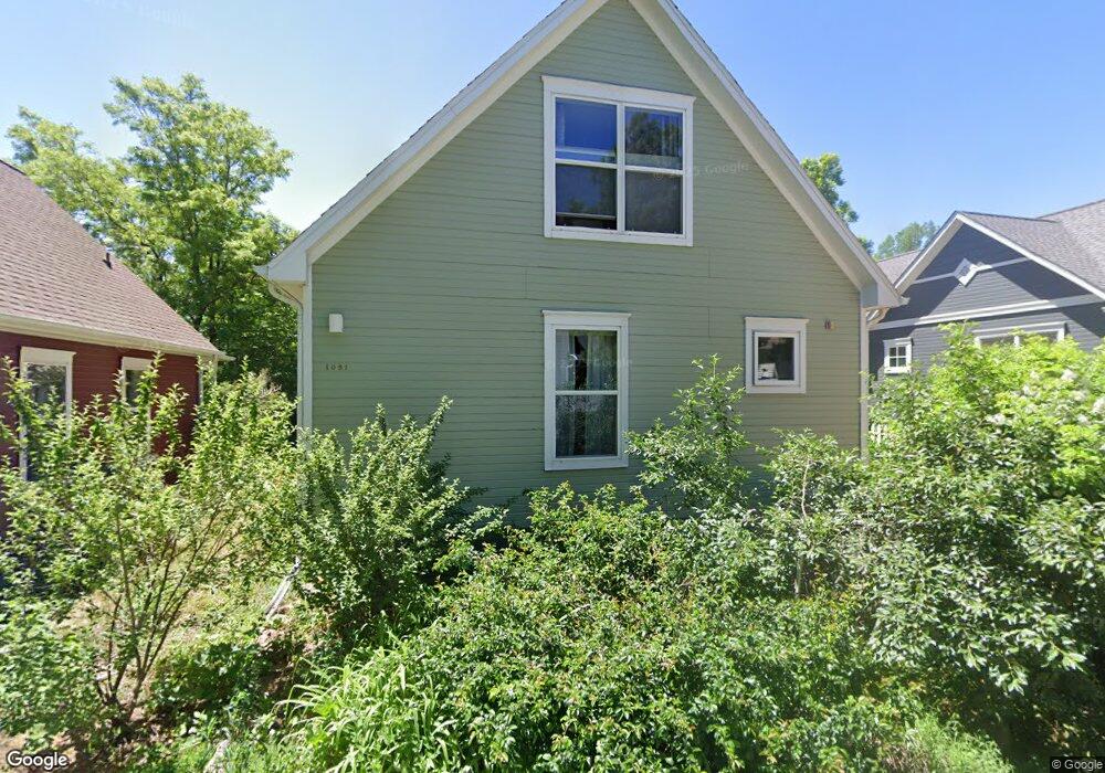
1075 Poplar Ave Unit 4 Boulder, CO 80304
Wonderland NeighborhoodEstimated Value: $459,450 - $1,461,000
3
Beds
2
Baths
1,307
Sq Ft
$752/Sq Ft
Est. Value
About This Home
This home is located at 1075 Poplar Ave Unit 4, Boulder, CO 80304 and is currently estimated at $982,483, approximately $751 per square foot. 1075 Poplar Ave Unit 4 is a home located in Boulder County with nearby schools including Foothill Elementary School, Centennial Middle School, and Boulder High School.
Ownership History
Date
Name
Owned For
Owner Type
Purchase Details
Closed on
Aug 12, 2021
Sold by
Hartman Dane
Bought by
Ketterhagan Robert
Current Estimated Value
Home Financials for this Owner
Home Financials are based on the most recent Mortgage that was taken out on this home.
Original Mortgage
$178,197
Outstanding Balance
$162,036
Interest Rate
2.9%
Mortgage Type
FHA
Estimated Equity
$820,447
Purchase Details
Closed on
Mar 28, 1996
Sold by
Housing Authority Of The City Of Boulder
Bought by
Hartman Ruth and Hartman Stanley
Home Financials for this Owner
Home Financials are based on the most recent Mortgage that was taken out on this home.
Original Mortgage
$81,572
Interest Rate
6.92%
Create a Home Valuation Report for This Property
The Home Valuation Report is an in-depth analysis detailing your home's value as well as a comparison with similar homes in the area
Home Values in the Area
Average Home Value in this Area
Purchase History
| Date | Buyer | Sale Price | Title Company |
|---|---|---|---|
| Ketterhagan Robert | $90,742 | Land Title Guarantee | |
| Ketterhagen Robert | $90,742 | Land Title Guarantee Co | |
| Hartman Ruth | $89,500 | -- |
Source: Public Records
Mortgage History
| Date | Status | Borrower | Loan Amount |
|---|---|---|---|
| Open | Ketterhagen Robert | $178,197 | |
| Previous Owner | Hartman Ruth | $81,572 | |
| Closed | Ketterhagan Robert | $0 |
Source: Public Records
Tax History Compared to Growth
Tax History
| Year | Tax Paid | Tax Assessment Tax Assessment Total Assessment is a certain percentage of the fair market value that is determined by local assessors to be the total taxable value of land and additions on the property. | Land | Improvement |
|---|---|---|---|---|
| 2025 | $822 | $14,005 | -- | $14,005 |
| 2024 | $822 | $14,005 | $2,764 | $14,005 |
| 2023 | $806 | $9,213 | $6,449 | $6,449 |
| 2022 | $1,160 | $12,278 | $6,139 | $6,139 |
| 2021 | $1,178 | $12,632 | $6,316 | $6,316 |
| 2020 | $810 | $9,188 | $0 | $9,188 |
| 2019 | $400 | $9,188 | $0 | $9,188 |
| 2018 | $495 | $11,261 | $0 | $11,261 |
| 2017 | $479 | $12,449 | $0 | $12,449 |
| 2016 | $546 | $12,449 | $0 | $12,449 |
| 2015 | $517 | $11,462 | $0 | $11,462 |
| 2014 | $489 | $11,462 | $0 | $11,462 |
Source: Public Records
Map
Nearby Homes
- 1110 Poplar Ave
- 1100 Poplar Ave
- 1000 Poplar Ave
- 3850 Broadway St Unit 24
- 1180 Oakdale Place
- 3830 Broadway St Unit 32
- 1095 Redwood Ave
- 1245 Norwood Ave Unit 42
- 1505 Oak Ave
- 1285 Meadow Place
- 4215 Broadway St
- 3747 Mountain Laurel Place
- 1580 Redwood Ave
- 1652 Poplar Ave
- 1111 Utica Cir
- 1560 Sumac Ave
- 630 Northstar Ct
- 1440 Moss Rock Place
- 913 Utica Ave
- 560 Northstar Ct
- 1081 Poplar Ave
- 1011 Poplar Ave Unit 13
- 1051 Poplar Ave
- 1057 Poplar Ave
- 1069 Poplar Ave
- 1089 Poplar Ave
- 1063 Poplar Ave
- 3959 Springleaf Ln
- 3963 Springleaf Ln
- 1019 Poplar Ave
- 1025 Poplar Ave Unit 11
- 1037 Poplar Ave Unit 10
- 3969 Springleaf Ln
- 1093 Poplar Ave
- 1043 Poplar Ave
- 1005 Poplar Ave
- 3960 Springleaf Ln
- 3973 Springleaf Ln
- 3950 Springleaf Ln
- 1130 Quince Ave