1075 W Sager Rd Hastings, MI 49058
Estimated Value: $168,000 - $282,000
--
Bed
--
Bath
--
Sq Ft
40.93
Acres
About This Home
This home is located at 1075 W Sager Rd, Hastings, MI 49058 and is currently estimated at $241,700. 1075 W Sager Rd is a home with nearby schools including Hastings High School.
Ownership History
Date
Name
Owned For
Owner Type
Purchase Details
Closed on
Aug 28, 2025
Sold by
Kenyon Sarah A
Bought by
Kenyon Sarah A and Sarah A Kenyon Revocable Trust
Current Estimated Value
Purchase Details
Closed on
May 6, 2016
Sold by
Demott Theodore E and Janet K Demott Family Trust
Bought by
Lord Jessica
Home Financials for this Owner
Home Financials are based on the most recent Mortgage that was taken out on this home.
Original Mortgage
$133,676
Interest Rate
3.59%
Mortgage Type
New Conventional
Purchase Details
Closed on
Mar 10, 2016
Sold by
Kenyon Sidney Gordon and Kenyon Sarah Ann
Bought by
Janet K Demott Family Trust
Home Financials for this Owner
Home Financials are based on the most recent Mortgage that was taken out on this home.
Original Mortgage
$133,676
Interest Rate
3.59%
Mortgage Type
New Conventional
Purchase Details
Closed on
Nov 13, 2013
Sold by
Kenyon Sidney G and Kenyon Sarah A
Bought by
Kenyon Sidney Gordon and Kenyon Sarah Ann
Create a Home Valuation Report for This Property
The Home Valuation Report is an in-depth analysis detailing your home's value as well as a comparison with similar homes in the area
Home Values in the Area
Average Home Value in this Area
Purchase History
| Date | Buyer | Sale Price | Title Company |
|---|---|---|---|
| Kenyon Sarah A | -- | Michigan Land Title | |
| Kenyon Sarah A | -- | None Listed On Document | |
| Kenyon Sidney G | -- | None Listed On Document | |
| Lord Jessica | $130,000 | Lighthouse Title Inc | |
| Janet K Demott Family Trust | -- | Lighthouse Title Inc | |
| Kenyon Sidney Gordon | -- | None Available |
Source: Public Records
Mortgage History
| Date | Status | Borrower | Loan Amount |
|---|---|---|---|
| Previous Owner | Lord Jessica | $133,676 |
Source: Public Records
Tax History Compared to Growth
Tax History
| Year | Tax Paid | Tax Assessment Tax Assessment Total Assessment is a certain percentage of the fair market value that is determined by local assessors to be the total taxable value of land and additions on the property. | Land | Improvement |
|---|---|---|---|---|
| 2025 | $848 | $111,000 | $0 | $0 |
| 2024 | $848 | $99,900 | $0 | $0 |
| 2023 | $791 | $73,900 | $0 | $0 |
| 2022 | $791 | $73,900 | $0 | $0 |
| 2021 | $791 | $72,400 | $0 | $0 |
| 2020 | $791 | $70,100 | $0 | $0 |
| 2019 | $791 | $69,700 | $0 | $0 |
| 2018 | $0 | $70,600 | $0 | $0 |
| 2017 | $0 | $64,900 | $0 | $0 |
| 2016 | -- | $71,200 | $0 | $0 |
| 2015 | -- | $69,500 | $0 | $0 |
| 2014 | -- | $69,500 | $0 | $0 |
Source: Public Records
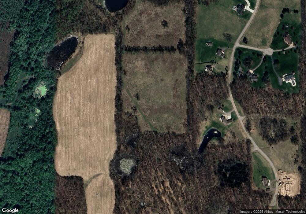
Map
Nearby Homes
- 0 Hickory Hill Ln Unit 25038602
- 641 W Quimby Rd
- 1810 W Brogan Rd
- V/L 3131 Shultz Rd
- 3275 S M 37 Hwy
- 0 Michigan 79 Unit 25022518
- V/L Michigan 79
- 2101 Maple Ln
- 2050 Tanner Lake Rd
- 2899 Loehrs Landing Dr
- V/L Biddle Rd
- 236 W Nelson St
- 1625 Secluded Acres Dr
- 916 Wintergreen Dr
- 3996 Head Lake Rd
- 1634 Lavender Dr
- 1002 S Broadway St
- 1220 W Green St
- 502 W Clinton St
- 6120 S M 37 Hwy
- 1139 W Sager Rd
- 1061 W Sager Rd
- 3968 Cook Rd Unit 7
- 0 Hawthorn Dr Unit 65013004818
- 0 Hawthorn Dr Unit 65013004820
- 0 Hawthorn Dr Unit 65013004821
- 0 Hawthorn Dr Unit 65013004822
- 0 Hawthorn Dr Unit 65013004824
- 0 Hawthorn Dr Unit M13004818
- 0 Hawthorn Dr Unit M13004820
- 0 Hawthorn Dr Unit M13004821
- 0 Hawthorn Dr Unit M13004822
- 0 Hawthorn Dr Unit M13004824
- 0 Hawthorn Dr Unit LOT 7 3500800
- 0 Hawthorn Dr Unit LOT 2
- 7 Hawthorn Dr
- 3997 Cook Rd
- 3915 Cook Rd
- 3931 Hawthorn Dr Unit 2
- 26 W Sager Rd