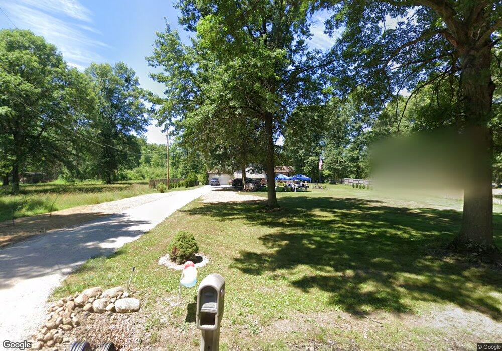
1075 Watson Rd Deerfield, OH 44411
Estimated Value: $233,000 - $321,000
3
Beds
2
Baths
1,992
Sq Ft
$135/Sq Ft
Est. Value
About This Home
This home is located at 1075 Watson Rd, Deerfield, OH 44411 and is currently estimated at $269,118, approximately $135 per square foot. 1075 Watson Rd is a home located in Portage County with nearby schools including Southeast High School.
Ownership History
Date
Name
Owned For
Owner Type
Purchase Details
Closed on
Sep 29, 2004
Sold by
Garrett Richard W and Garrett Pamela J
Bought by
Anderson Emory D
Current Estimated Value
Home Financials for this Owner
Home Financials are based on the most recent Mortgage that was taken out on this home.
Original Mortgage
$137,837
Outstanding Balance
$68,995
Interest Rate
5.93%
Mortgage Type
FHA
Estimated Equity
$200,123
Purchase Details
Closed on
Feb 6, 1989
Bought by
Garrett Richard W
Create a Home Valuation Report for This Property
The Home Valuation Report is an in-depth analysis detailing your home's value as well as a comparison with similar homes in the area
Home Values in the Area
Average Home Value in this Area
Purchase History
| Date | Buyer | Sale Price | Title Company |
|---|---|---|---|
| Anderson Emory D | $140,000 | Central Title Of Kent | |
| Garrett Richard W | -- | -- |
Source: Public Records
Mortgage History
| Date | Status | Borrower | Loan Amount |
|---|---|---|---|
| Open | Anderson Emory D | $137,837 |
Source: Public Records
Tax History Compared to Growth
Tax History
| Year | Tax Paid | Tax Assessment Tax Assessment Total Assessment is a certain percentage of the fair market value that is determined by local assessors to be the total taxable value of land and additions on the property. | Land | Improvement |
|---|---|---|---|---|
| 2024 | $2,692 | $77,530 | $9,310 | $68,220 |
| 2023 | $2,297 | $59,990 | $6,650 | $53,340 |
| 2022 | $2,387 | $59,990 | $6,650 | $53,340 |
| 2021 | $2,408 | $59,990 | $6,650 | $53,340 |
| 2020 | $1,940 | $46,450 | $6,650 | $39,800 |
| 2019 | $1,945 | $46,450 | $6,650 | $39,800 |
| 2018 | $1,805 | $40,710 | $6,410 | $34,300 |
| 2017 | $1,805 | $40,710 | $6,410 | $34,300 |
| 2016 | $1,799 | $40,710 | $6,410 | $34,300 |
| 2015 | $1,803 | $40,710 | $6,410 | $34,300 |
| 2014 | $1,839 | $40,710 | $6,410 | $34,300 |
| 2013 | $1,820 | $40,710 | $6,410 | $34,300 |
Source: Public Records
Map
Nearby Homes
- 1060 State Route 14
- 9663 Berlin Heights Dr
- 0 Ohio 14
- 1731 Ohio 225
- 1864 State Route 225
- 20871 N Benton Rd W
- 2171 Alliance Rd
- 2332 McClintocksburg Rd
- 1440 Porter Rd
- 10569 Shadyside Ln
- 10745 Leffingwell Rd
- 105 Hartzell Rd
- 2953 State Route 225
- 2880 State Route 14
- V/L State Route 225
- 10985 Johnson Rd
- 6727 Waterloo Rd
- 5925 Bedell Rd
- 0 Knoll St NE
- 15789 Coalbank St NE
- 1051 Watson Rd
- 1093 Watson Rd
- 1054 Watson Rd
- 1032 Watson Rd
- 1174 Watson Rd
- 994 Watson Rd
- 1009 Watson Rd
- 955 Watson Rd
- 960 Watson Rd
- 1217 Watson Rd
- 910 Watson Rd
- 1253 Watson Rd
- 1267 Watson Rd
- 9024 State Route 224
- 870 Watson Rd
- 9042 State Route 224
- 856 Watson Rd
- 9002 State Route 224
- 8956 State Route 224
- 840 Watson Rd